The Guttland, Luxembourg's good land west of the capital
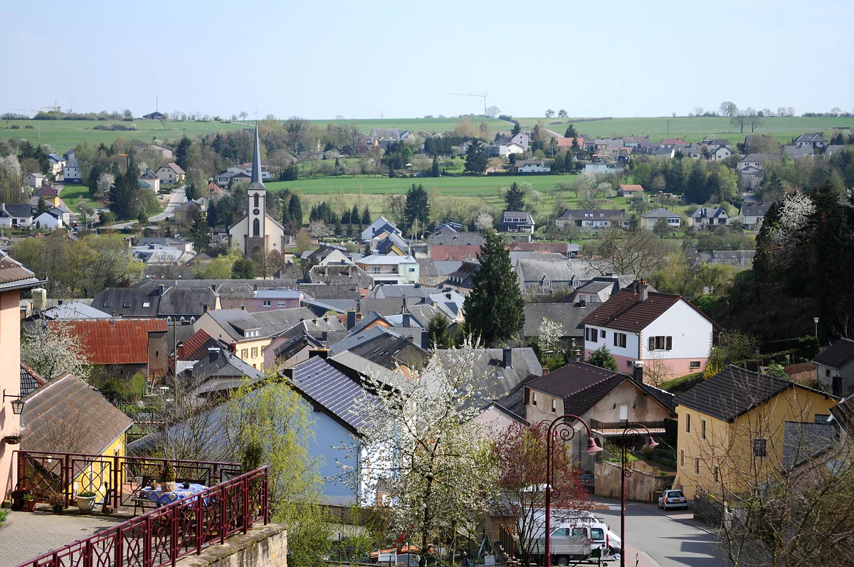
The Guttland is the tourist region covering central and western Luxembourg, 27 communes according to its regional office in Mersch. The name means the good land, a nod to its fertile soil. Its main draw is the Eisch valley, better known as the Valley of the Seven Castles, where Koerich Castle is free to enter, plus Roman villas, Celtic burial mounds and short waymarked walks.
In 30 seconds
Full read: 4 min
The Guttland is 27 communes in central and western Luxembourg, with its office in Mersch.
The name means the good land, after its fertile soil.
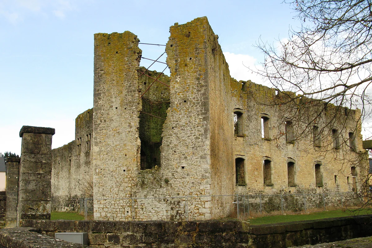
Its star is the Valley of the Seven Castles; Koerich Castle is free.
Expect Roman villas, Celtic mounds and short, well-marked walks.
I wouldn't send a first-timer to the Guttland ahead of the capital, the Mullerthal or Vianden. But as a half-day out of Luxembourg City it's hard to beat, with a free castle at Koerich, formal gardens at Ansembourg and buses that cost nothing.
Sergio LeponeMy advice
Before you go
What I would keep in mind
01 Most beautiful
Seven castles along one river
The Eisch valley strings together Mersch, Schoenfels, Hollenfels, the two Ansembourg castles, Septfontaines and Koerich. The regional office maps it as a 25 km drive.
Public transport is free nationwide, and the Ansembourg gardens are a five-minute walk from the nearest bus stop, according to the castle's own website.
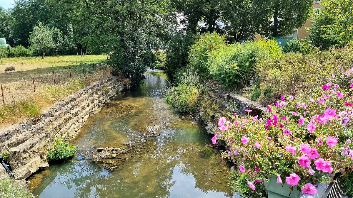
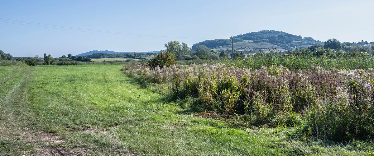
Most British visitors to Luxembourg split their time between the capital, the Mullerthal rocks and Vianden, and never give the Guttland a thought. That’s a pity, because the region that wraps round the west of Luxembourg City is where you find the country at its most rural and least hurried. The government’s own portal pitches it as slow travel, with hundreds of kilometres of footpaths and cycle tracks through farmland.
The good land, and where it starts and stops
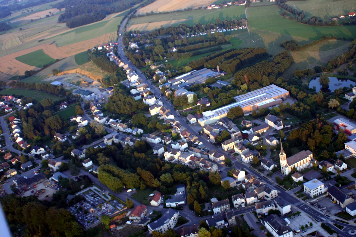
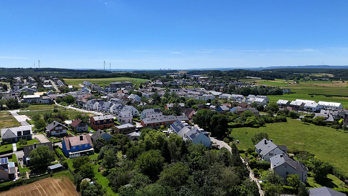
Guttland means the good land, a reference to the fertile soil that feeds fields of cereals around villages such as Kleinbettingen. Its tourist office, Visit Guttland, is based in Mersch and lists 27 member communes, stretching from Steinfort in the far west to Niederanven next to the airport. Among them are Groussbus-Wal, home to Rindschleiden, the smallest village in the country, and Mertzig, with its fairy-tale Turelbaach Castle. Adding up STATEC’s population for each, you get 120,759 residents on 1 January 2026, spread over roughly 588 km².
Geographers use Gutland for something bigger, the whole southern part of the country, 1,758 km² against the 828 km² of the Éislek uplands in the north. The tourist region is only a slice of that. If you’re choosing between regions, my comparison is under regions of Luxembourg.
The Valley of the Seven Castles
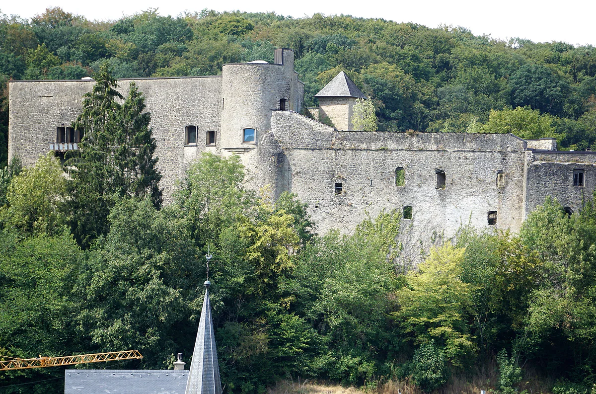
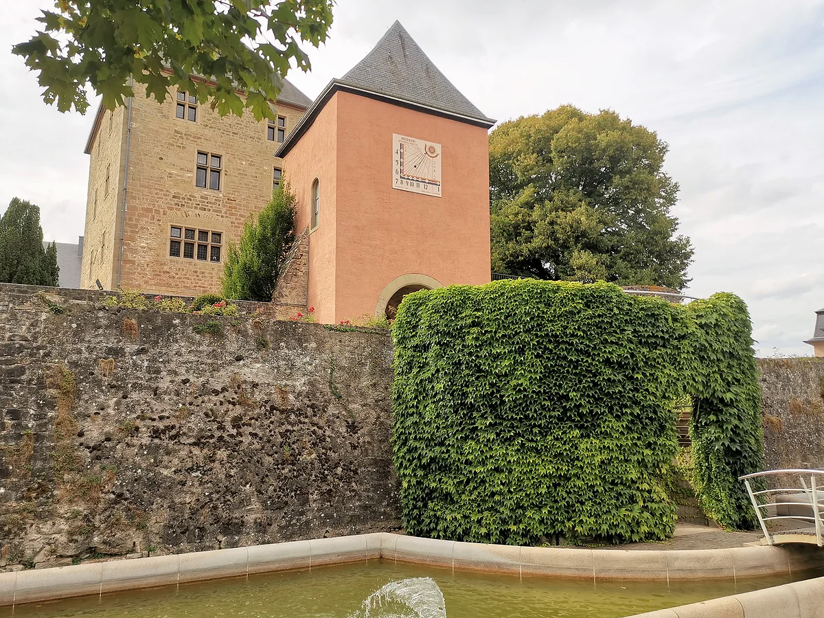
This is what brings most people out here. Along the river Eisch, between Mersch and Koerich, sit seven castles, with Schoenfels, Hollenfels, the old and new castles of Ansembourg and Septfontaines, in Habscht, in between. Visit Guttland describes a 25 km driving route and the government portal a 37 km national footpath. What neither shouts about is that most of the seven are private or closed for works, so you see them from the road. I go through each stop in valley of the seven castles.
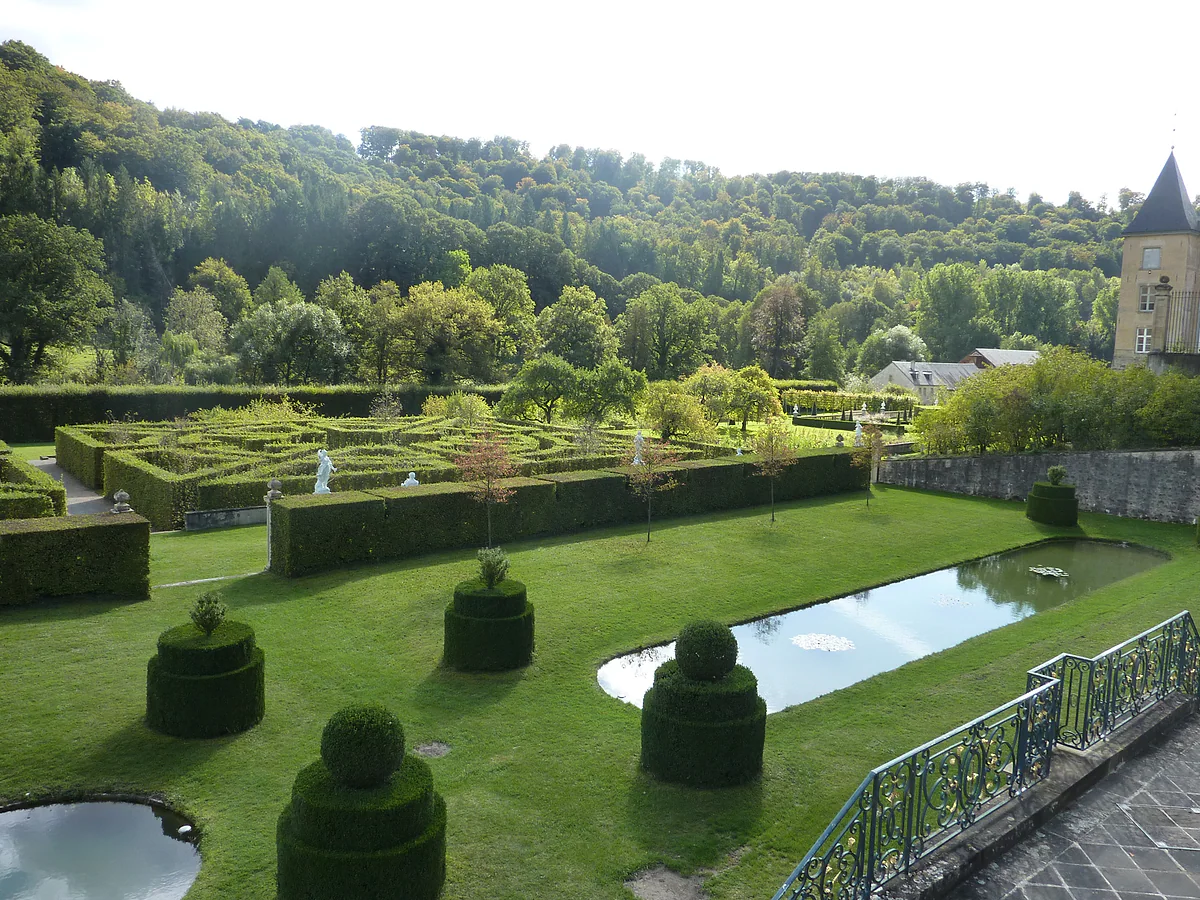
With an hour to spare, I’d head straight for Koerich Castle, a state-owned lowland castle, restored and open every day of the year with no ticket office. With a couple of hours, I’d add the Baroque gardens of the new castle at Ansembourg and their avenue of mythological statues.
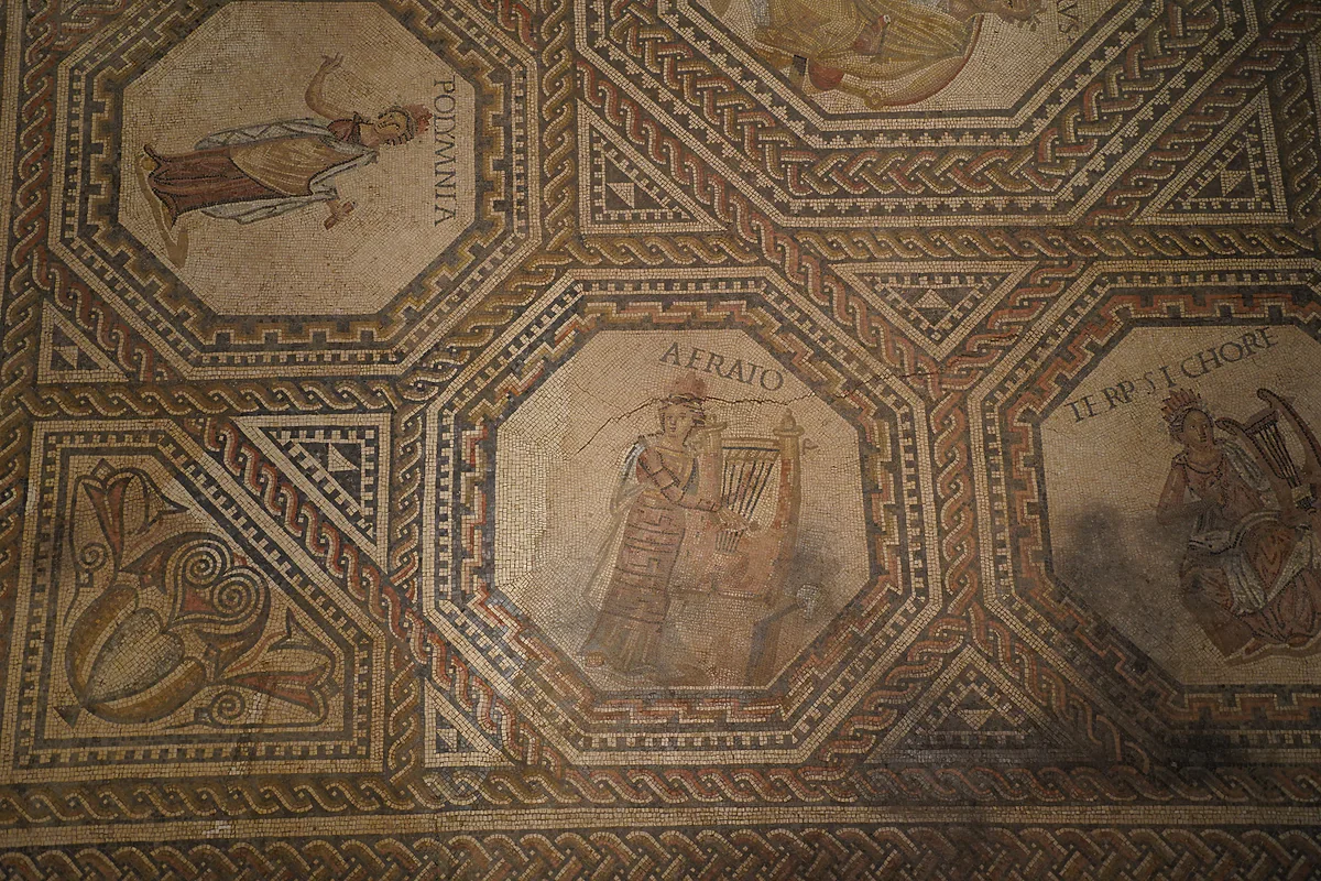
There’s more archaeology here than the guidebooks suggest. Near Goeblange, the remains of the Miecher Roman villa span its whole life, from first-century farm to late third-century fortification, abandoned towards the end of the fourth. Close by, the Celtic mounds of Goeblange-Nospelt held the graves of four knights and a princess from the first century BC. In Helmsange forest, between Walferdange and Steinsel, a Roman qanat, an underground aqueduct, once supplied the settlements around it.
Easy walking and cycling
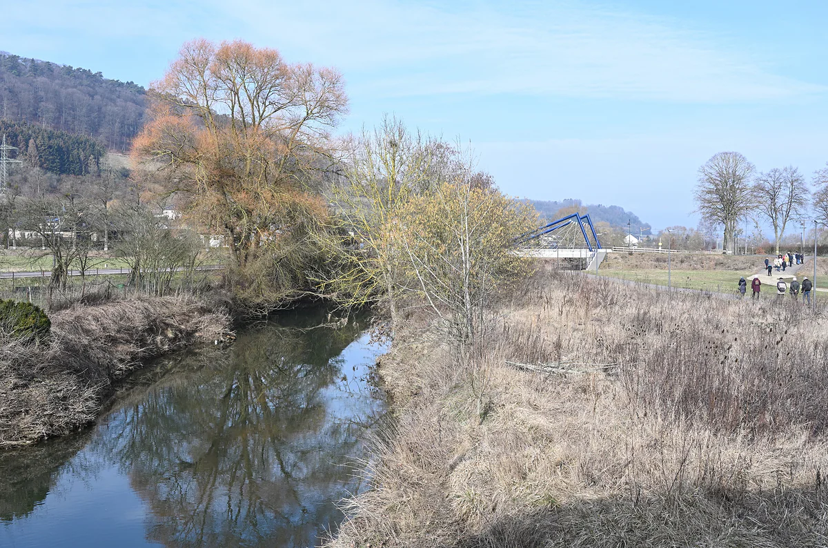
The official portal singles out four short trails. The Siwe Brécke-Wee, about 5 km from Reimberg in Préizerdaul, crosses little wooden bridges along a stream. The Fuussepad, 11.61 km near Steinsel, passes the ruins of a first-century Roman temple. The Mamerleeën, about 7.5 km, threads through sandstone caves near Mersch. In the same Mamer valley, Kopstal has woods, mills and a 22 km national footpath. The Randscheleider Pad is a 1.5 km meditation path at Rindschleiden, which the portal calls the smallest village in Luxembourg.
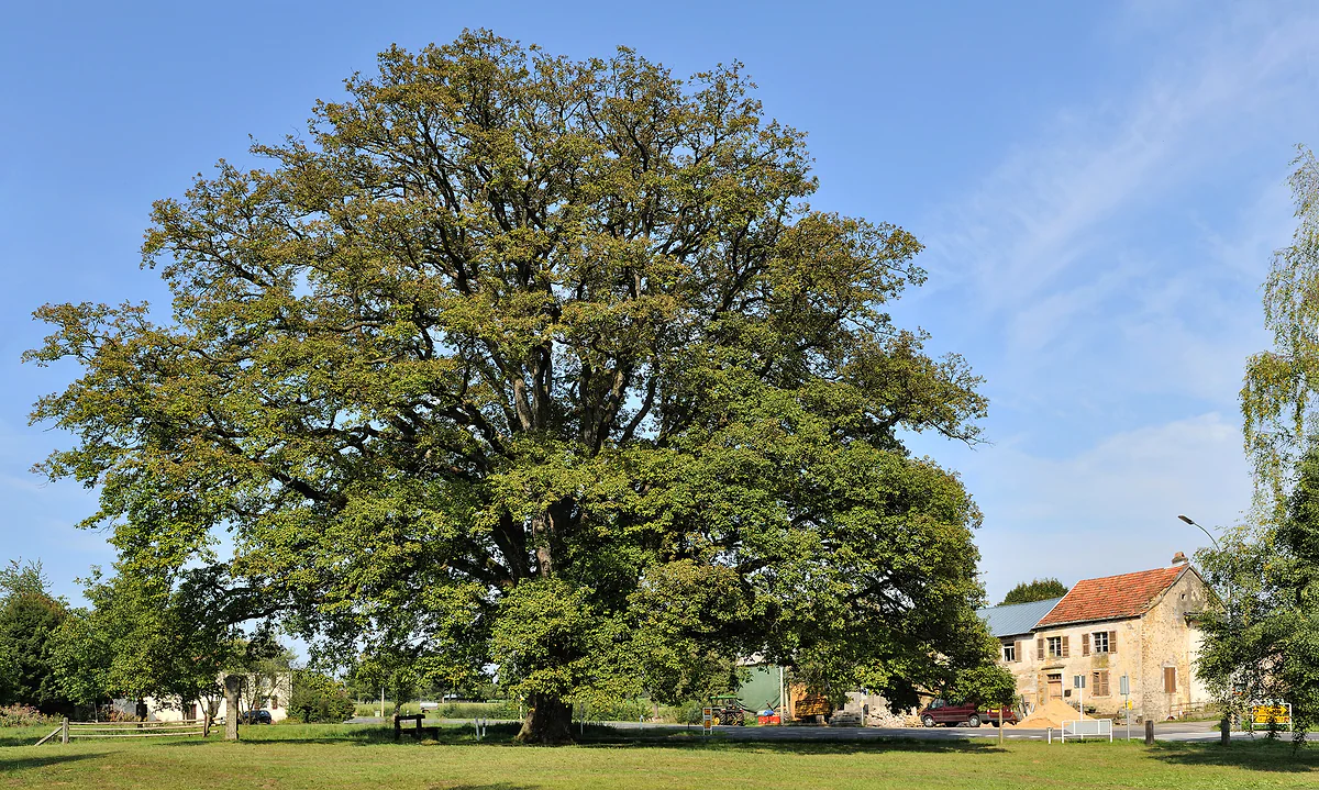
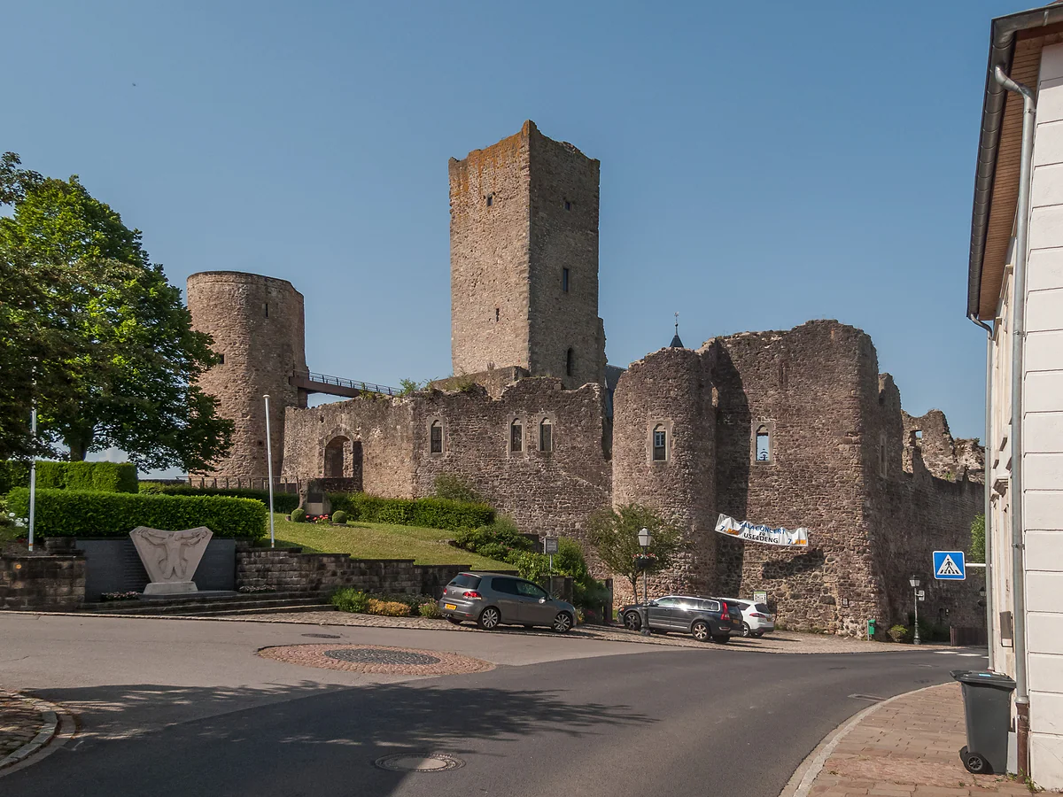
Cyclists get twelve gentle loops starting from Useldange Castle, one of them out to the country’s oldest oak at Saeul.
One of Luxembourg’s best-loved crafts comes from here, the Péckvillercher, clay bird whistles sold at Nospelt during the Éimaischen fair on Easter Monday. I cover it under Kehlen, the commune Nospelt belongs to. The portal also recommends local beer and cooking at Kleinbettingen and the fruit brandies known as Drëppen. For a proper blowout, Steinfort has a Michelin-starred restaurant, Apdikt, which I list in Michelin star restaurants in Luxembourg.
Getting there from the UK
Luxembourg Airport at Findel sits on the eastern edge of the capital, so the Guttland, west and north-west of the city, is a short hop from your hotel rather than from the terminal. Trains run to Mersch on the northern line and to Kleinbettingen, in Steinfort, on the line towards Arlon, and buses fan out into the villages. As a British visitor you ride all of it free in second class, the same as residents, as long as you stay inside Luxembourg. The details are in free public transport in Luxembourg.
I’d base myself in Luxembourg City. STATEC counted about two hotels in each of the western communes it publishes for 2025, against 57 in the capital, and the buses out are free. With a hire car, I’d drive the valley from Mersch to Koerich in a morning and finish at the Roman villa. Without one, I’d pick two stops, Ansembourg and Koerich, and save the rest for another trip.
Member list from visitguttland.lu, checked on 30 September 2026. The grouping by area is mine.
Short walks with a European quality label
Trail
Length
Start
Siwe Brécke-Wee
About 5 km (1 hr 30)
Reimberg, St Roch's chapel
Fuussepad
11.61 km (3 hr 30)
Steinsel woods
Mamerleeën
About 7.5 km (2 hr 30)
Mersch
Randscheleider Pad
1.5 km
Rindschleiden
luxembourg.public.lu, Guttland page. The individual trail listings give slightly different decimals.
Test yourself
True or false?
0/3Pick before you peek.
Guttland means the good land.
See the answer
True. Luxembourg's official portal says the name pays tribute to the region's fertile soil.
The tourist Guttland covers the whole south of the country.
See the answer
False. The natural Gutland does, at 1,758 km². The tourist region is only the 27 communes of its regional office.
Four knights and a princess were buried at Goeblange-Nospelt.
See the answer
True. The official portal says so of the Celtic burial mounds there, dated to the 1st century BC.
Communes in the regional office
27
Residents of those communes, 1 Jan 2026
120,759
Castles in the Eisch valley
7
Drive from Mersch to Koerich
25 km
Map
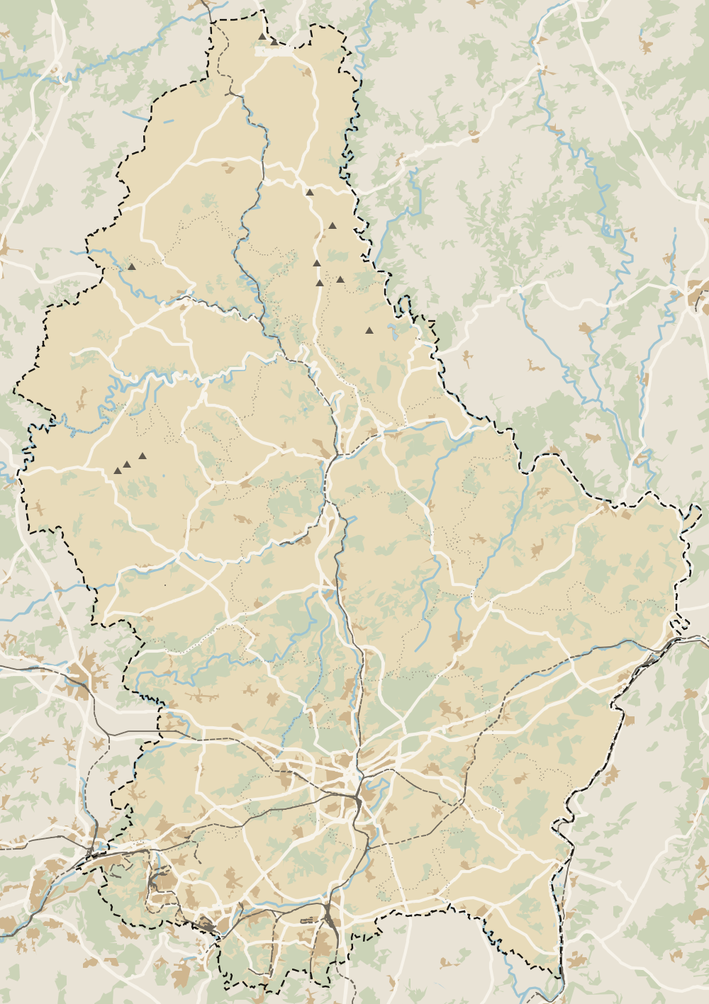
Where Guttland is
The thick dashed line is the border with Belgium, France and Germany, and the fine ones divide the twelve cantons. The Éislek lies to the north and the Moselle to the east. Every number opens its guide.
One of the country's six tourist regions, covering the centre and west. Its tourist office, Visit Guttland, groups 27 communes. The name means the good land, after its fertile soil.
What is there to see in the Guttland?
The Valley of the Seven Castles, with Koerich and the Ansembourg gardens; the Roman villa at Goeblange; the Celtic burial mounds of Goeblange-Nospelt; Useldange Castle; and the country's oldest oak, at Saeul.
Is the Guttland the same as the Gutland?
Not quite. The natural Gutland is the whole southern two-thirds of the country, 1,758 km² according to STATEC. The tourist Guttland is just the 27 communes of the regional office, roughly 588 km² by my own sum.
Can I visit the Guttland without a car?
Yes. Buses serve Ansembourg, Hollenfels and Koerich, trains stop at Mersch and Kleinbettingen, and all of it is free inside Luxembourg. A car simply lets you string more castles into one day.
Where should I stay to explore the Guttland?
In Luxembourg City. The western communes had only about two hotels each in 2025 according to STATEC, against 57 in the capital, and the bus out is free.
Is the Guttland worth a day trip from Luxembourg City?
For me, yes, if you've already covered the old town. Koerich and Ansembourg make an easy half-day, and the valley suits a slow spring drive or a long walk.
Tourism graduate with a master’s in Tourism Management and Planning from the University of Málaga, who has travelled across Europe. He writes every guide from official sources and his own judgement.

 1Valley of the Seven Castles 2Guttland 3Garnich 4Mersch 5Kehlen 6Lintgen 7Kopstal 8Lorentzweiler 9Bissen 10Koerich 11Steinfort 12Habscht 13Helperknapp 14Mamer 15Redange 16Beckerich 17Ell 18Useldange 19Saeul 20Vichten 21Préizerdaul 22Groussbus-Wal 23Rambrouch 24Mertzig 25Sandweiler 26Walferdange 27Steinsel 28Niederanven 29Schuttrange 30Contern 31Weiler-la-Tour