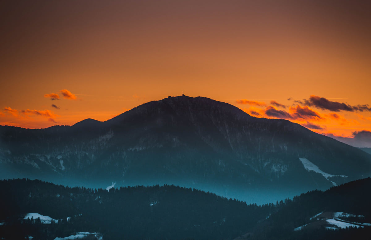
Koroška statistical region
Koroška, mountains, forest and mines in Slovenian Carinthia

- Area
- 1,041 km²
- Population 1 Jan 2026
- 70,174
Map
Where Koroška is
The Julian Alps, Triglav and the Soča valley lie to the north-west; Ljubljana sits in the centre; the Karst, its caves and the 47 km of coast are to the south-west, and Maribor, Ptuj and the Prekmurje plains to the east. Every number opens its guide.
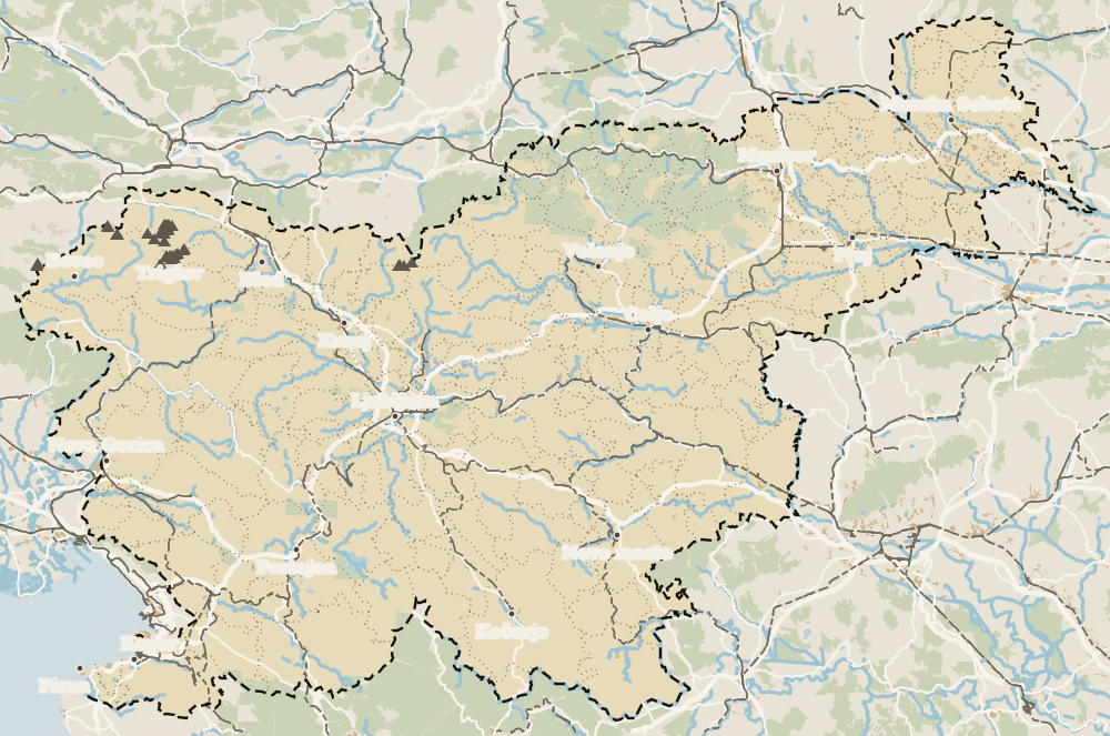 1Koroška 2Slovenj Gradec 3Ravne na Koroškem 4Mežica 5Dravograd 6Radlje ob Dravi 7Mislinja 8Uršlja Gora
Map data © OpenStreetMap contributors (ODbL)
Koroška is Slovenian Carinthia, a northern region of 1,041 km² with 12 municipalities and 70,174 people on 1 January 2026 (SURS), almost 70 per cent of it forest. It has the Karavanke UNESCO Global Geopark, the lead and zinc mine under Mount Peca, explored by kayak or bike, Uršlja Gora and towns such as Slovenj Gradec and Ravne.
Koroška is mountains without crowds. I wouldn't leave without going down the Peca mine, by kayak if you dare and on the mine train if not, or without climbing Uršlja Gora on a clear day. It's among the least visited regions, which works in its favour.
Koroška, in short
Full read: 3 min
- Koroška covers 1,041 km², with 12 municipalities and 70,174 people.
- Almost 70 per cent of it is forest.
- Under Mount Peca you can tour an old lead and zinc mine by kayak or bike.
- It's the region with the second-fewest tourist arrivals, 56,170 in 2025.
What I would book ahead
Notebook
Before you go to Koroška, this
-
01 Worth the splurge
Kayaking through a flooded mine
Under Mount Peca you paddle through the flooded tunnels of what was the largest lead and zinc mine in this part of Europe. The tourist board lists the experience from €55 and the mountain bike descent from €75.
Mežica mine -
02 Most beautiful
A UNESCO Global Geopark
Karavanke Geopark, shared with Austria, runs from Mežica to Peca. It has rare minerals, unusual flora and the Topla Valley, one of its loveliest corners.
Karawanken Geopark -
03 My tip
Uršlja Gora, an easy summit with a church
At 1,699 m it's one of the most accessible mountains in the region. The church of St Ursula stands on top, with views over the Mežica, Mislinja, Drava and Šalek valleys.
Uršlja Gora -
04 To save money
Cycling an old railway line
The Štekna route follows the former railway through the Mislinja valley for 24 km, fully surfaced and suitable for families, with a stop in Slovenj Gradec's medieval centre.
Slovenj Gradec -
05 My tip
A show cave since 1895
Huda luknja, beside the Velenje to Slovenj Gradec road in Mislinja municipality, is one of the oldest caves in Slovenia open to visitors.
Mislinja
What Koroška, Slovenian Carinthia, is
SURS gives it 1,041 km², 12 municipalities and 70,174 people on 1 January 2026. In 2025 it recorded 56,170 tourist arrivals, the second-lowest figure of any region, and the busiest municipalities were Mislinja, Slovenj Gradec and Dravograd. The tourist board reckons almost 70 per cent of it is forest, and the woods of western Pohorje are among the darkest and deepest in the country.
It’s classed as Alpine Slovenia, and rightly so. This is home to Peca, Raduha, Olševa and Uršlja Gora, and the regional tourist board likes to say the whole place is practically one long slope.
The Peca mine by kayak or bike
What makes Koroška unique lies underground. At Mežica, the old lead and zinc mine left about 1,000 km of tunnels beneath Mount Peca, and part of it is now the Mežica mine, a show mine and museum. You can go in by mine train or on foot, kayak through flooded galleries or ride a mountain bike down abandoned tunnels. Legend has it that King Matjaž and his army sleep inside the mountain.
Around it lies Karawanken Geopark, a UNESCO Global Geopark shared with Austria, with rare minerals, unusual plants and the Topla Valley, a landscape park and the classic approach to Peca.
Which mountains should you climb?
That depends on your legs. Peca, 2,125 m, is Slovenia’s easternmost 2,000-metre peak, and the Austrian border runs across its summit. Raduha, 2,062 m, marks the eastern end of the Savinja Alps. Olševa holds Potočka Zijalka, a Stone Age site, and Smrekovec was an undersea volcano more than 23 million years ago. The easiest is Uršlja Gora, 1,699 m, with the church of St Ursula on top and huge views over four valleys.
Long-distance walkers can follow the Koroška Mountain Trail, a 230 km loop through the Mežica, Drava and Mislinja valleys.
To sleep close to everything, search places to stay in Slovenj Gradec on Expedia and filter by area before price.
Towns and villages
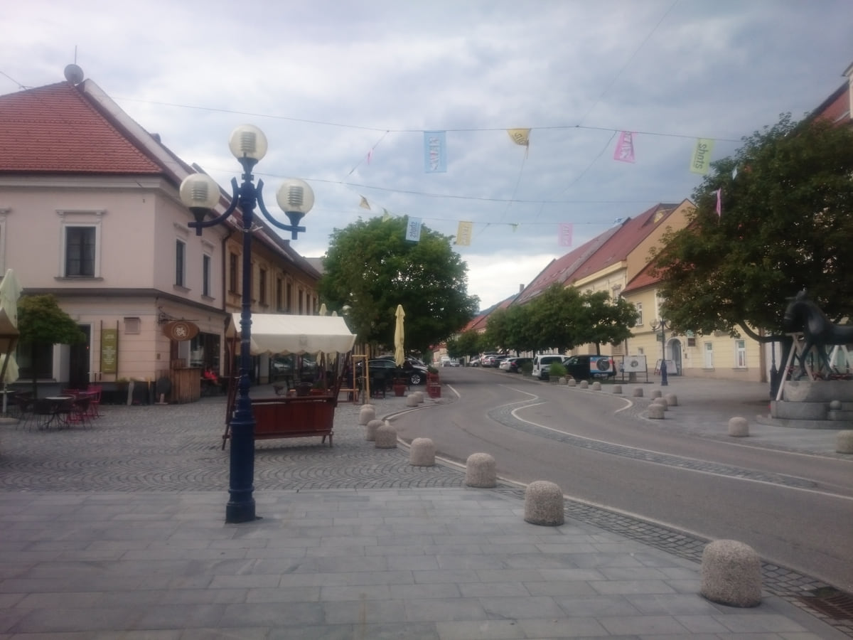
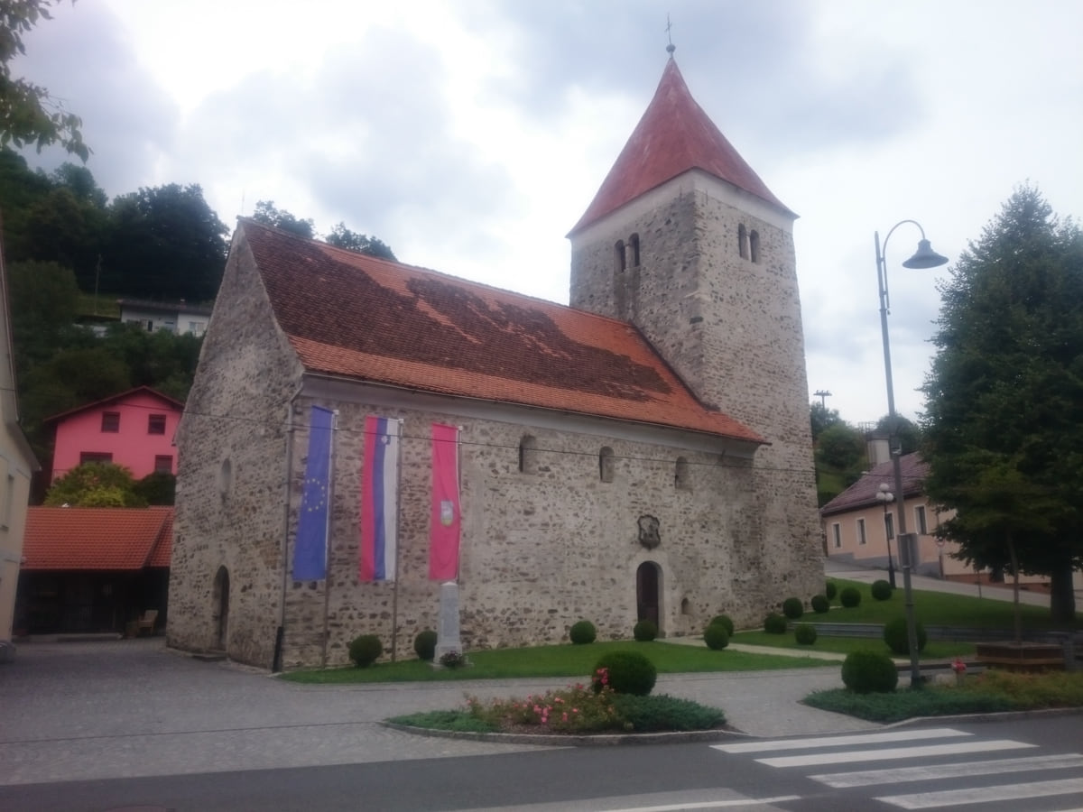
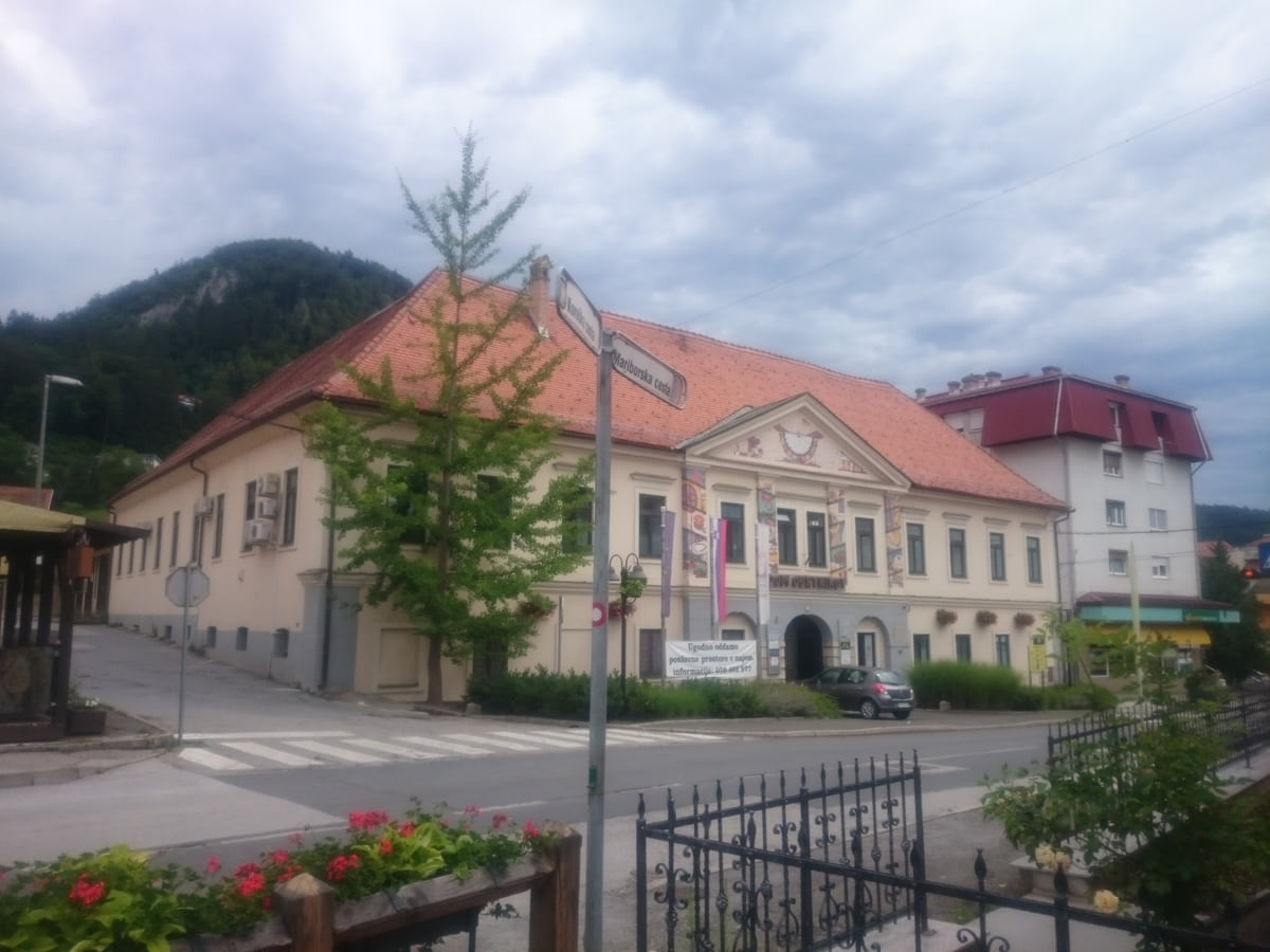
Slovenj Gradec is the main town, with 7,746 people and a medieval centre. Within its boundaries, St George’s Church at Legen sits on the foundations of an early Christian chapel with 9th-century graves, which the tourist board calls the only physical evidence of the first Christian communities of old Carantania. Ravne na Koroškem is the steel town, and Dravograd has a classic dravite deposit and a lake with more than 150 bird species and beavers.
Down in the Drava valley, Radlje ob Dravi has a water park with Slovenia’s only natural biological pool, and tourist rafts set off from Muta and Podvelka.
Bikes, skiing and food
Koroška is cycling country. The Štekna route runs 24 surfaced kilometres along the old Mislinja valley railway, the Drava has its own cycle route and a long flow trail drops down from Peca. In winter you can ski at Kope, on Ribnica’s side of Pohorje. And to eat, the tourist board recommends kvočevi nudlni, dough parcels filled with dried pears.
If you are short on time, see the best tours in Slovenj Gradec and pick one that fits your day.
How I’d tour Koroška
Two days work well here. I’d give one to Mežica and Peca, with the mine and the Topla Valley, and the other between Slovenj Gradec, Legen and Uršlja Gora. With a third, head down to the Drava valley for the pool at Radlje ob Dravi and a raft trip on the river. The tourist rafts leave from the landing stages at Gortina, in Muta, and Javnik, in Podvelka, with an accordion player on board and the old raftsmen’s songs.
As for where to sleep, don’t expect big hotels, because there are hardly any. Koroška is about tourist farms with home cooking and mountain huts. Dom na Peci sits in a sunny clearing at 1,665 m, and next to the Radlje water park there’s a glamping resort. In summer, western Pohorje is noticeably cooler than the valley floor, and its forests fill with lingonberries. The region has more than 100 km of marked hiking trails and, outside special events, you’ll rarely meet a crowd on them, which for me is the whole point of coming. If you’re a confident hiker, the K24 challenge asks you to climb the five highest peaks of Koroška against the clock.
To sleep close to everything, search places to stay in Slovenj Gradec on Booking.com and filter by area before price.
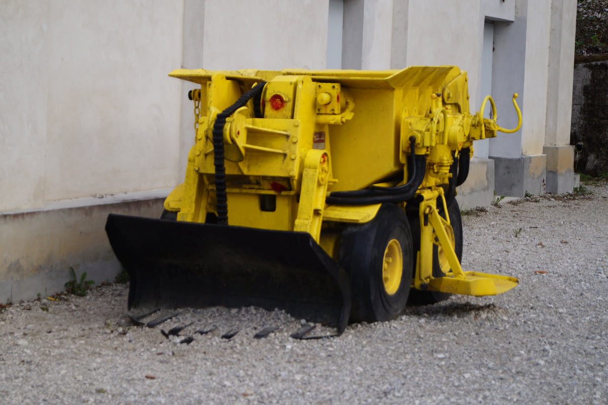
A yellow mining loader on display at Podzemlje Pece, the Mežica tourist mine beneath Mount Peca
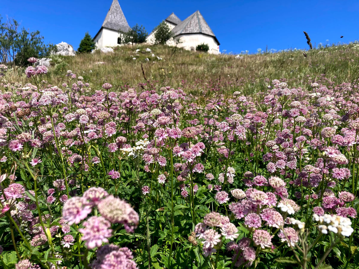
The church of St Ursula on the summit of Uršlja Gora, with the grassy top of the mountain covered in pink flowers
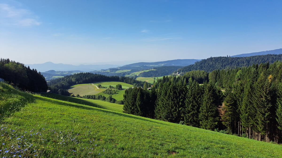
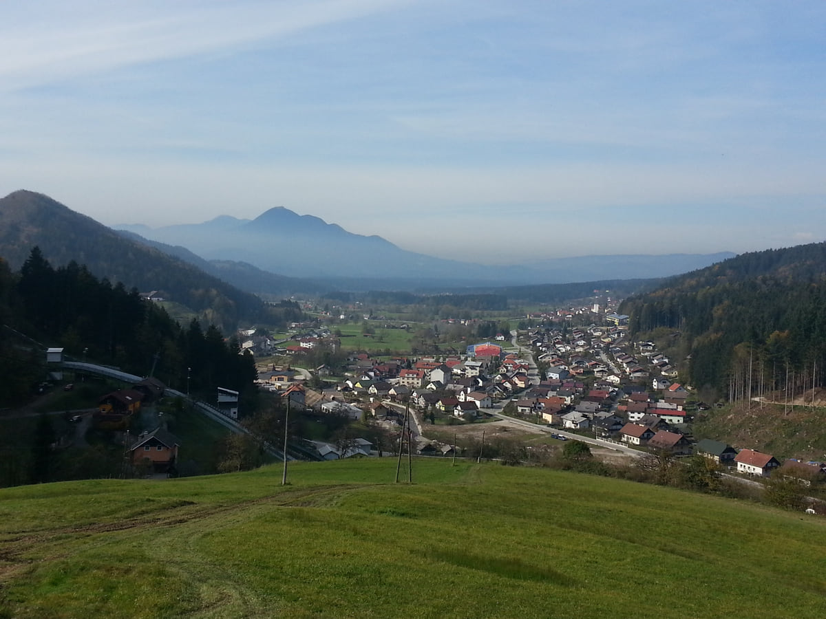
Green meadows and spruce forest on the Pohorje on a clear day, with hills fading towards the horizon
The 12 municipalities of Koroška
| Municipality | Population 1 Jan 2026 | km² | Arrivals 2025 |
|---|---|---|---|
| Slovenj Gradec | 17,063 | 173.6 | 10,774 |
| Ravne na Koroškem | 11,179 | 63.5 | 4,130 |
| Dravograd | 8,773 | 104.9 | 8,549 |
| Prevalje | 6,668 | 58.1 | 5,030 |
| Radlje ob Dravi | 6,229 | 94.0 | 2,947 |
| Mislinja | 4,489 | 112.1 | 12,494 |
| Mežica | 3,536 | 26.5 | 3,366 |
| Muta | 3,329 | 38.9 | 1,021 |
| Črna na Koroškem | 3,001 | 155.8 | 415 |
| Vuzenica | 2,594 | 50.0 | 208 |
| Podvelka | 2,242 | 103.9 | 391 |
| Ribnica na Pohorju | 1,071 | 59.5 | 6,845 |
SURS, population on 1 January 2026 and tourist arrivals in 2025, checked on 15 October 2026.
Koroška's peaks
| Peak | Height | What's there |
|---|---|---|
| Peca | 2,125 m | Slovenia's easternmost 2,000-metre peak; the Austrian border runs over the top |
| Raduha | 2,062 m | Eastern end of the Savinja Alps ridge |
| Olševa | 1,929 m | Potočka Zijalka Stone Age site |
| Uršlja Gora | 1,699 m | Church of St Ursula on the summit |
Koroška tourist board, “Top 5 Koroška peaks”, checked on 15 October 2026.
Test yourself
Myths and facts about Koroška
0/3 Pick before you peek.
-
Koroška is one of Slovenia's least visited regions.
See the answer
True. It had 56,170 arrivals in 2025, the second-lowest of the twelve regions, according to SURS.
-
The Austrian border runs over the summit of Peca.
See the answer
True. That's how the Koroška tourist board describes it, calling Peca Slovenia's easternmost 2,000-metre peak.
-
Karavanke Geopark lies entirely in Slovenia.
See the answer
False. It's cross-border and continues into Austria, according to the tourist board.
- Area of Koroška
- 1,041 km²
- Population on 1 January 2026
- 70,174
- Tourist arrivals in 2025
- 56,170
- Forest cover, almost
- 70%
What to see
What there is in Koroška
0 of 425 Slovenia guides
Your next stamp
- Mežica
- Karawanken Geopark
- Mežica Mine
- Uršlja Gora
- Cerknica
- Kranj
- Ravne na Koroškem
- Bogenšperk Castle
- Bogojina
- Debeli rtič
- Ig pile dwellings
- Jeruzalem
- Kolpa River
- Koper
- Lake Cerknica
- Lipica
- Ljubljana
- Ljubljana to Bled
- Mariborsko Pohorje
- Mount Snežnik
- Palace Portorož
- Park of Military History
- Plečnik House
- Postojna
- Postojna Cave
- Škocjan Caves
- Štanjel
- Tartini Square
- Trbovlje
- Županova jama
- Izola
- Kamnik
- Karst
- Ljubljana to Postojna
- Lovrenc Lakes
- Maribor
- Portorož
- Predjama Castle
- Things to do in Ljubljana
- Travel guide
- Vilenica Cave
- Zagorje ob Savi
- Celje
- Domžale
- Hrastnik
- Ljubljana in a day
- Ljubljana to Piran
- Piran
- Slovenian Istria
- Strunjan
- Things to do
- Activities
- Ankaran
- Grosuplje
- Litija
- Ljubljana in two days
- Pivka
- Sečovlje salt pans
- Velenje
- Brežice Castle
- Getting around Ljubljana
- Ilirska Bistrica
- Most beautiful places
- Novo mesto
- Sevnica Castle
- Terme Olimia
- Vrhnika
- Žiče Charterhouse
- Dolenjska
- Ig
- Prettiest villages
- Ptuj
- Sežana
- Divača
- Medvode
- Murska Sobota
- Posavje
- World Heritage
- Hrpelje-Kozina
- Logatec
- Map
- Mengeš
- Brezovica
- Komen
- Savinjska
- Where is Slovenia
- Bled
- Brežice
- Čatež ob Savi
- Celje Castle
- Coal Mining Museum
- Gorenjska
- Hotels in Piran
- Hrastovlje
- Kostanjevica Cave
- Kostel Castle
- Krokar primeval forest
- Kurentovanje
- Lent
- Ljubljana Castle
- Ljubljana Cathedral
- Logar Valley
- Oldest vine in the world
- Olimje
- Otočec
- Regions
- Rimske Toplice
- Rinka Waterfall
- Rogla
- Sava River
- Slovenj Gradec
- Topolšica
- Velika Planina
- Goriška
- Krško
- Lake Bled
- Municipalities
- Podravje
- Prešeren Square
- Restaurants in Piran
- Škocjan Inlet
- Volčji Potok Arboretum
- Bled Island
- Cities
- Pomurje
- Sevnica
- Socerb Castle
- Bled Castle
- Coast and Karst
- Dravograd
- Kostanjevica na Krki
- Population
- Notranjska
- Ojstrica viewpoint
- Radlje ob Dravi
- Size
- Central Slovenia
- Language
- Mislinja
- Plečnik's Ljubljana
- Slovenska Bistrica
- Vila Bled
- Currency
- Grand Hotel Toplice
- Ormož
- Zasavje
- EU and Schengen
- Hotel Savica Garni
- Hotels in Bled
- Pohorje
- Haloze
- History
- Restaurants in Bled
- Flag and symbols
- Hoče-Slivnica
- Bizeljsko
- Bohinj
- Christmas in Ljubljana
- City Hotel Ljubljana
- Gorjanci
- Krka River
- Laško
- Moravske Toplice
- Ptuj Castle
- Public holidays
- Rajhenburg Castle
- Šentilj
- Slovenia beaches
- Šmartno pri Litiji
- Brdo Castle
- Independence Day
- Lake Bohinj
- Ljubljana Festival
- Radenci
- Rogaška Slatina
- Day trips from Ljubljana
- Jesenice
- Lendava
- Podčetrtek
- Savica waterfall
- Time zone
- Dobrna
- Facts
- Ljubljana nightlife
- Ljutomer
- Nova Gorica
- Vogel
- Bohinjska Bistrica
- Gornja Radgona
- Ljubljana Old Town
- Slovenia and Croatia
- Solkan
- Zreče
- Grad
- Sabotin
- Slovenia, Italy and Austria
- Slovenske Konjice
- Stara Fužina
- Trnovo
- Goričko
- Holidays and tours
- Hotels in Bohinj
- Škofja Loka
- Vitanje
- Škofja Loka Castle
- Slovenia or Slovakia
- Šoštanj
- Veržej
- Slovenian phrases
- Slovenia in 3 days
- Bela krajina
- Caves in Slovenia
- Črnomelj
- Dragon Bridge
- Gorje
- Hiking
- Hotels in Maribor
- Kozjansko Regional Park
- Kranjska Gora
- Lake Ptuj
- Ljubljana Marshes
- Slovenia in 5 days
- Vinarium Tower
- Where to stay in Ljubljana
- Žalec
- Metlika
- Slovenia castles
- Slovenia in a week
- Slovenian Mountain Trail
- Triple Bridge
- Vintgar Gorge
- Vršič Pass
- Where to eat in Ljubljana
- Best viewpoints in Slovenia
- Central Market
- Juliana Trail
- Lake Jasna
- Road trip
- Semič
- Žirovnica
- Kočevje
- Metelkova
- Motorhome
- Museums in Slovenia
- Naklo
- Soča rafting
- Tržič
- Zelenci
- Jezersko
- Kostel
- Lake Planšar
- Skiing
- Slovenia with kids
- Slovenian Alpine Museum
- Tivoli Park
- Best time to visit
- Cerklje na Gorenjskem
- Cycling
- Dolenjske Toplice
- Ljubljanica river
- Mojstrana
- Šenčur
- Krvavec
- National Gallery
- Parenzana
- Peričnik waterfall
- Šmarješke Toplice
- Weather
- National and University Library
- Paragliding
- Slovenia in winter
- Strmol Castle
- Trebnje
- Vrata valley
- Climbing
- Events
- Martuljek waterfalls
- Žale
- Fly fishing
- In January
- Ljubljana museums
- National Museum of Slovenia
- Rateče
- Bovec
- Festival Lent
- Golf
- Hotels in Ptuj
- In February
- Kamnik-Savinja Alps
- Nature parks
- Parking in Ljubljana
- Pekel Cave
- Planica
- Snežnik Castle
- Solčava
- Gornji Grad
- In March
- Kranjska Gora ski resort
- Lakes
- Trenta
- Ziplines
- Alpe Adria Trail
- Hotels in Kranjska Gora
- In April
- Kanin
- Nazarje
- Waterfalls
- In May
- Rivers
- Virje waterfall
- Vransko
- Hotels in Bovec
- In June
- Mountains
- Šentjur
- Dobra Vila Bovec
- In July
- Ljubljana Card
- Mozirje
- Spas
- In August
- Nebesa Chalets
- Rečica ob Savinji
- In September
- Kobarid
- Šmartno ob Paki
- In October
- Kobarid Museum
- Hiša Franko
- In November
- In December
- Radovljica
- Železniki
- In spring
- Museum of Apiculture
- Žiri
- In summer
- Kropa
- Tolmin
- Brezje
- In autumn
- Metaldays
- Tolmin Gorges
- Begunje
- Javorca church
- Slovenia in 10 days
- Most na Soči
- Two weeks in Slovenia
- Idrija
- Ljubljana Marathon
- How to get there
- Idrija mercury mine
- Wild Lake
- Cerkno
- Flights
- Laufarji
- Divje babe
- Franja Partisan Hospital
- Ljubljana Airport
- Ajdovščina
- Nearby airports
- Venice to Ljubljana
- Vipava
- Vipavski Križ
- Zagreb to Ljubljana
- Brda
- Trains to Slovenia
- Getting around
- Šmartno
- Dobrovo Castle
- Trains
- Buses
- Julian Alps
- Car hire
- Triglav National Park
- Driving
- Pokljuka
- Triglav Lakes
- Vignette
- Mount Triglav
- Taxis
- Distances
- Soča Valley
- Soča River
- Trieste to Ljubljana
- Kozjak Waterfall
- Vienna to Ljubljana
- Boka Waterfall
- Budapest to Ljubljana
- Ljubljana to Maribor
- Walk of Peace
- Bled to Bohinj
- Mangart
- Lake Krn
- Prices and budget
- Slovenia on a budget
- Vipava Valley
- Free things to do
- Otlica Natural Window
- Entry requirements
- Rihemberk Castle
- Customs
- Safety
- Scams
- Bears
- Healthcare
- Mobile and roaming
- Plugs
- Packing list
- What to buy
- Hotels
- Campsites
- Farm stays
- Mountain huts
- Food
- Bled cream cake
- Wine
- Potica
- Prekmurska gibanica
- Štruklji
- Carniolan sausage
- Idrija žlikrofi
- Beer
- Tipping
What people ask most about Koroška
What is Koroška in Slovenia?
It's the Slovenian part of historic Carinthia and one of the country's twelve statistical regions, with no government of its own. Its 12 municipalities lie in the north, between Mount Peca, Pohorje and the Drava valley.
What is there to see in Koroška?
The show mine at Mežica under Mount Peca, Karavanke Geopark and the Topla Valley, Uršlja Gora, St George's Church at Legen and Slovenj Gradec's old centre, Lake Dravograd and the natural swimming pool at Radlje ob Dravi.
What is the highest mountain in Koroška?
Peca, at 2,125 m according to the regional tourist board, which calls it Slovenia's easternmost 2,000-metre peak. The border with Austria runs over the summit, and legend says King Matjaž sleeps inside it.
Can you go kayaking inside a mine in Slovenia?
Yes, at the Mežica mine under Mount Peca, where you paddle through flooded tunnels. The tourist board lists this experience from €55, plus a mountain bike descent through abandoned tunnels from €75.
Where should I stay in Koroška?
Slovenj Gradec is the most practical base. For the mountains, Mežica or Črna na Koroškem near Peca; for western Pohorje, Ribnica na Pohorju and the Kope ski area.
What food is Koroška known for?
The tourist board suggests kvočevi nudlni, dumplings filled with dried pears, served with pork crackling or, as a sweet dish, with toasted breadcrumbs, sugar and cinnamon.

Questions about Koroška? Write to me
If your question is not answered here, write to me and I will look it up in the official sources.
My email sergiolepone@gmail.com
By
Tourism graduate with a master’s in Tourism Management and Planning from the University of Málaga, who has travelled across Europe. He writes every guide from official sources and his own judgement.
Published on . Updated on . Facts checked on .
Sources
Some links in this guide are affiliate links: if you book through them, the site earns a commission at no extra cost to you. Affiliate disclosure
Photos: Jernej Furman from Maribor, Slovenia (CC BY 2.0); NearEMPTiness (CC BY-SA 4.0); Neža Poberžnik (CC BY-SA 4.0); Andrej Jakobčič (CC BY-SA 3.0), via Wikimedia Commons.