Paphos district covers the west of Cyprus, from Aphrodite's Rock to the Akamas peninsula and Chrysochou Bay. The 2021 census counted 101,106 people, 37,991 of them in Paphos town, and since 2024 it has four municipalities, Paphos, Ierokipia, Akamas and Polis Chrysochous, plus the inland villages.
In 30 seconds
Full read: 3 min
Paphos district is the west of Cyprus, from Kouklia to Akamas.
It had 101,106 residents at the 2021 census.
Since 2024 it has four municipalities: Paphos, Ierokipia, Akamas and Polis Chrysochous.
Its World Heritage Site, Paphos, was listed in 1980.
I wouldn't squeeze Paphos district into a day out from Limassol. Give it three nights at least, a base in Kato Paphos and a hire car for Akamas and the Laona villages, because buses do reach them but not often.
Sergio LeponeMy advice
Before you go
What I would keep in mind
01 Most beautiful
Mosaics and rock-cut tombs in one town
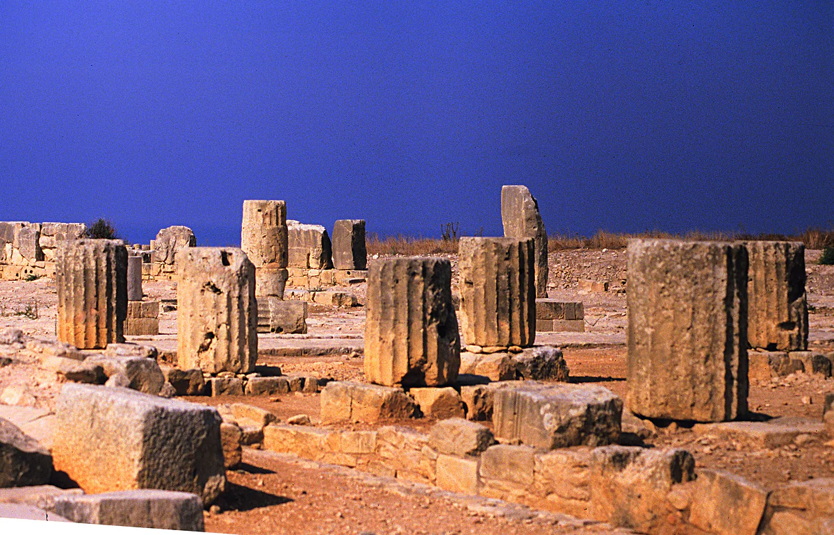
The Paphos World Heritage Site brings together Nea Paphos, with its Roman villa mosaics, the Tombs of the Kings necropolis and Aphrodite's sanctuary at Kouklia.
Paphos district is the western half of Cyprus in miniature. It has a town whose Roman mosaics UNESCO has protected since 1980, a wild peninsula in the north-west, a coast lined with big hotels and a plateau of stone villages among the vines. Here’s how it fits together, so you know what sits where and where to sleep. How it compares with the other five is in districts of Cyprus.
From Kouklia to Akamas
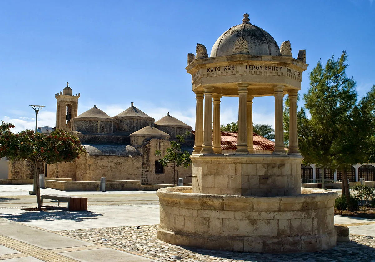
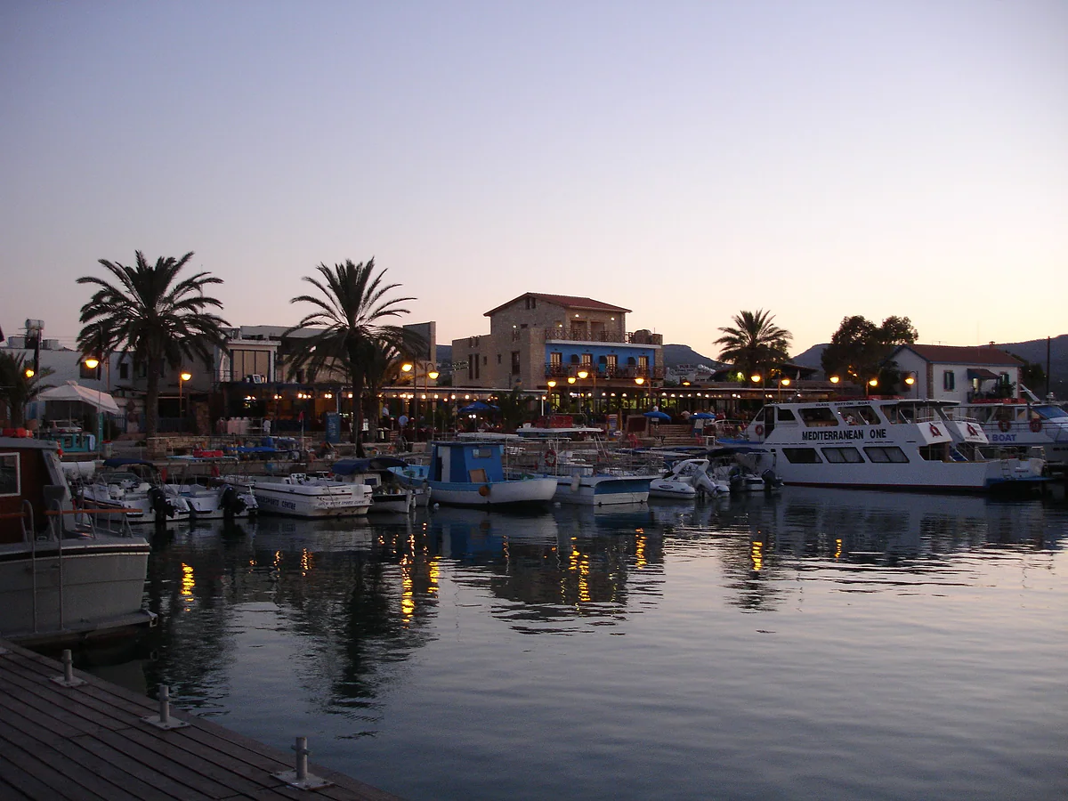
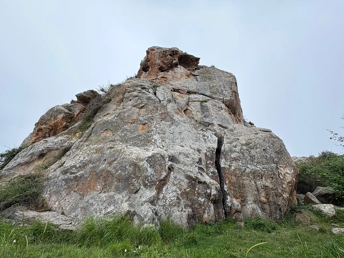
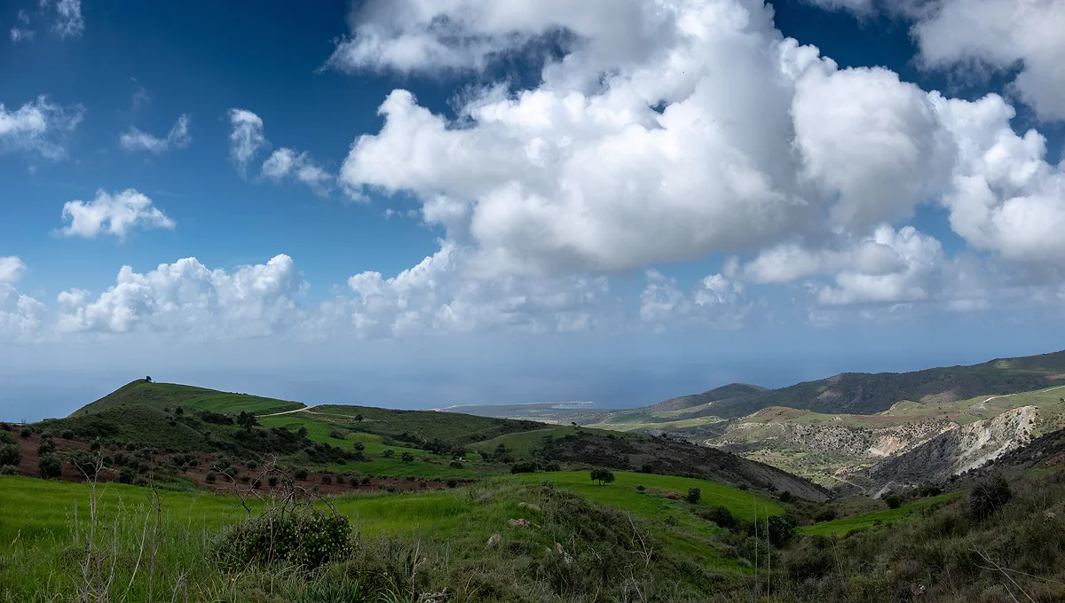
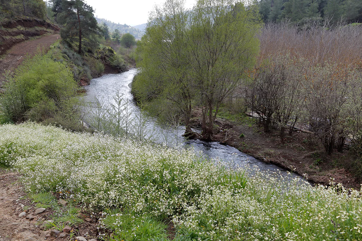
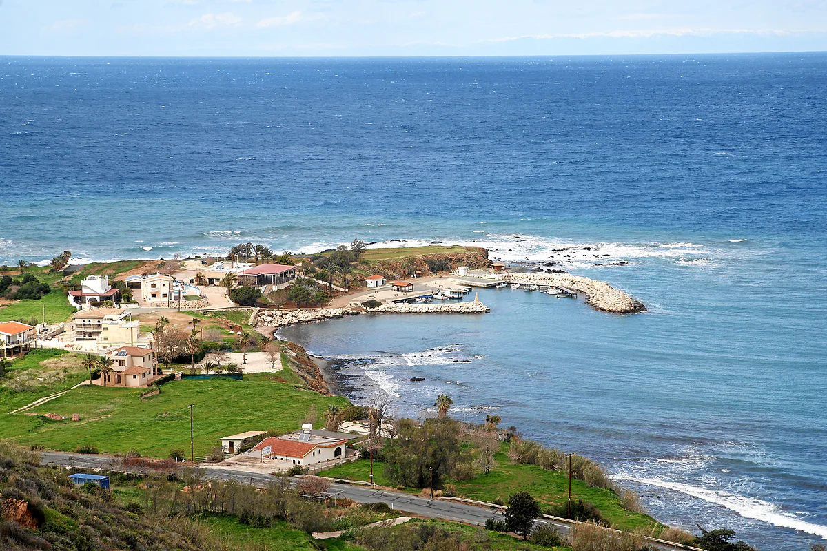
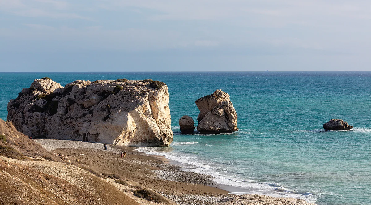
The district starts on the south coast, where the old Limassol road passes Kouklia, home to the sanctuary of Aphrodite at Palaepaphos, and Aphrodite’s Rock, then climbs the west coast to the Akamas peninsula. In between is Paphos, with its lower town by the sea and its upper town, Ktima, the Paphos old town, on the hill. North of town come Chlorakas, Kissonerga and Peyia, which includes Coral Bay, and on the far side of Akamas lies Chrysochou Bay, with Polis Chrysochous and Latchi harbour. Inland from Kouklia rises the Diarizos Valley, with its wine route and the Venetian bridge at Kelefos.
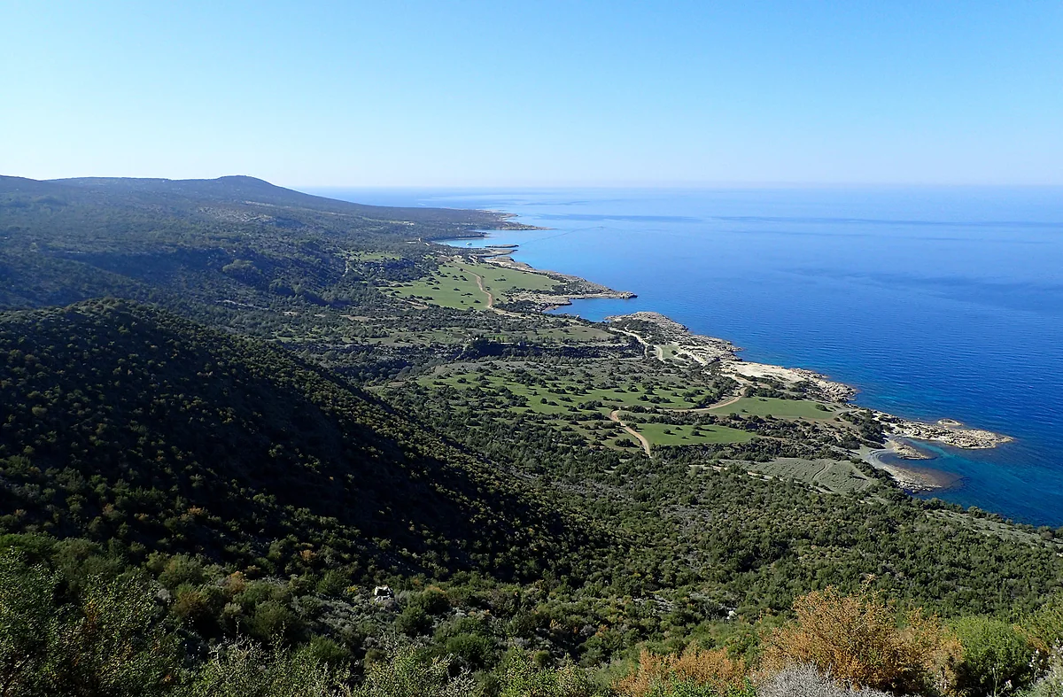
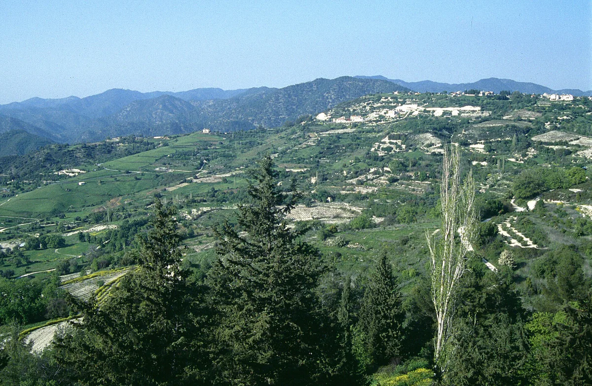
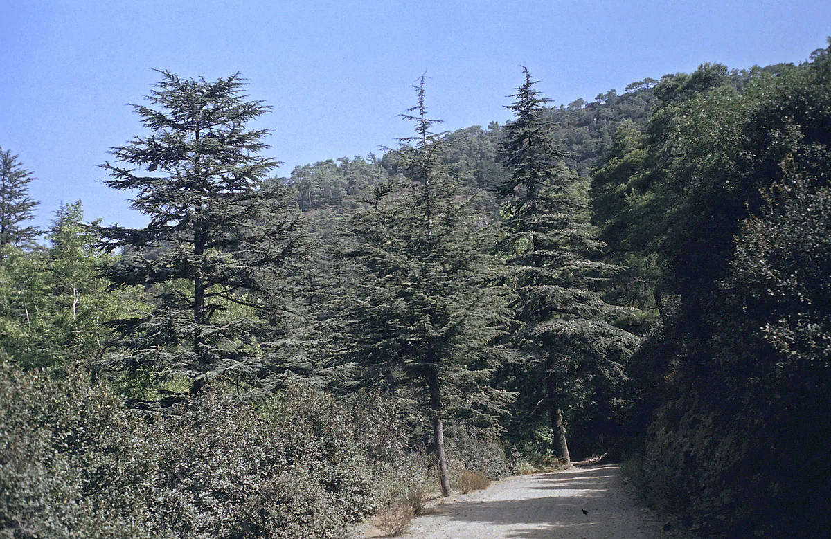
Inland, the land rises to the Laona plateau and the Paphos hills, home to Kathikas, Drouseia, Ineia and the two Arodes, including Pano Arodes, and further east Pano Panagia on the edge of the range. On the northern rim of the plateau, above Latchi, sits Neo Chorio, the gateway to the Akamas forest. Akamas Municipality puts the peninsula at about 17,000 hectares, 7,000 of them state forest, all within the Natura 2000 network.
People and municipalities
CYSTAT’s 2021 census counted 101,106 people in the district. Paphos town has 37,991, followed by Geroskipou on 8,579, Pegeia on 6,945, Chlorakas on 6,422 and Empa on 5,505. Polis, the main town of the north-west, has just 2,570.
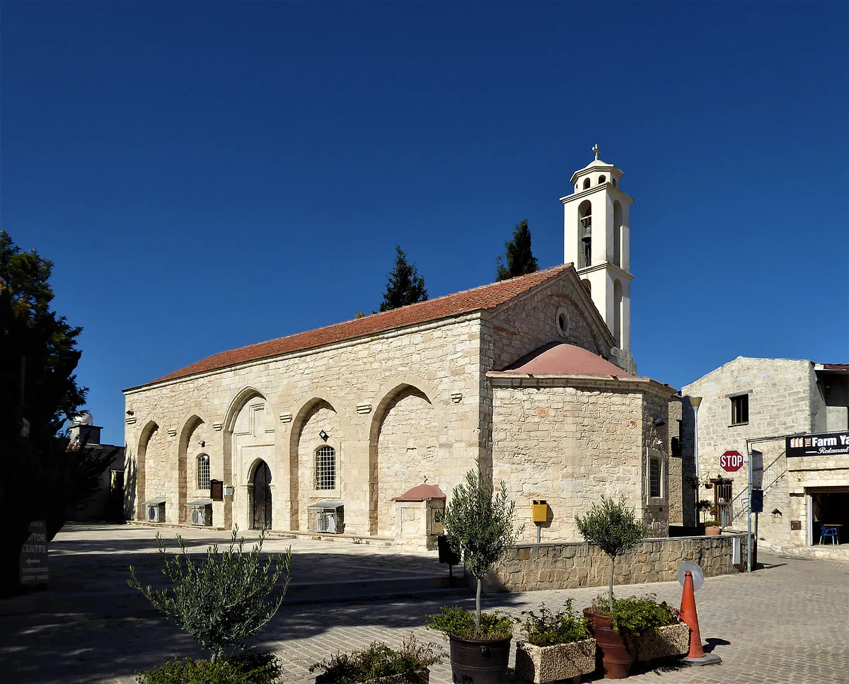
Since the local government reform took effect in 2024, the district has four municipalities. The Union of Cyprus Municipalities gives Paphos 16.95 km², Ierokipia 43, Akamas 142 and Polis Chrysochous 248, with rural communities making up the rest. For a visitor it matters little, except to explain why Coral Bay comes under Akamas or why Geroskipou has its own council.
If I had to pick one thing, it would be the Kato Paphos archaeological park, for the Roman villa mosaics UNESCO counts among the finest in the world. A short bus ride away are the Tombs of the Kings, the rock-cut necropolis north of the ancient city. Both are part of the Paphos listing, together with Aphrodite’s sanctuary at Kouklia, as set out in UNESCO World Heritage in Cyprus.
Paphos Airport is about 9 km from town as the crow flies. Pafos Buses, the district’s bus operator, runs its network from three stations in town, Karavela, Kato Paphos harbour and the Tombs of the Kings, plus a fourth in Polis. Route 615 goes to Coral Bay, the 631 to Aphrodite’s Rock via Kouklia, the 645 to Polis via Stroumbi and the 641 crosses the Laona villages on its way to Polis. A single costs €2.
Inland villages see only a few buses a day, though, and much of Akamas has no bus at all. To see the whole district, hire a car, and read car hire in Cyprus before you book. Traffic keeps left, so the driving will feel familiar.
The official accommodation list of August 2026 records 129 establishments in the Paphos area and 27 in the Polis area. Most of the big hotels line the town’s coast, from Geroskipou through Kato Paphos to Chlorakas, and I go through them in Paphos hotels. For beach and quiet, see Coral Bay hotels, and for the Akamas side facing the bay, Latchi hotels.
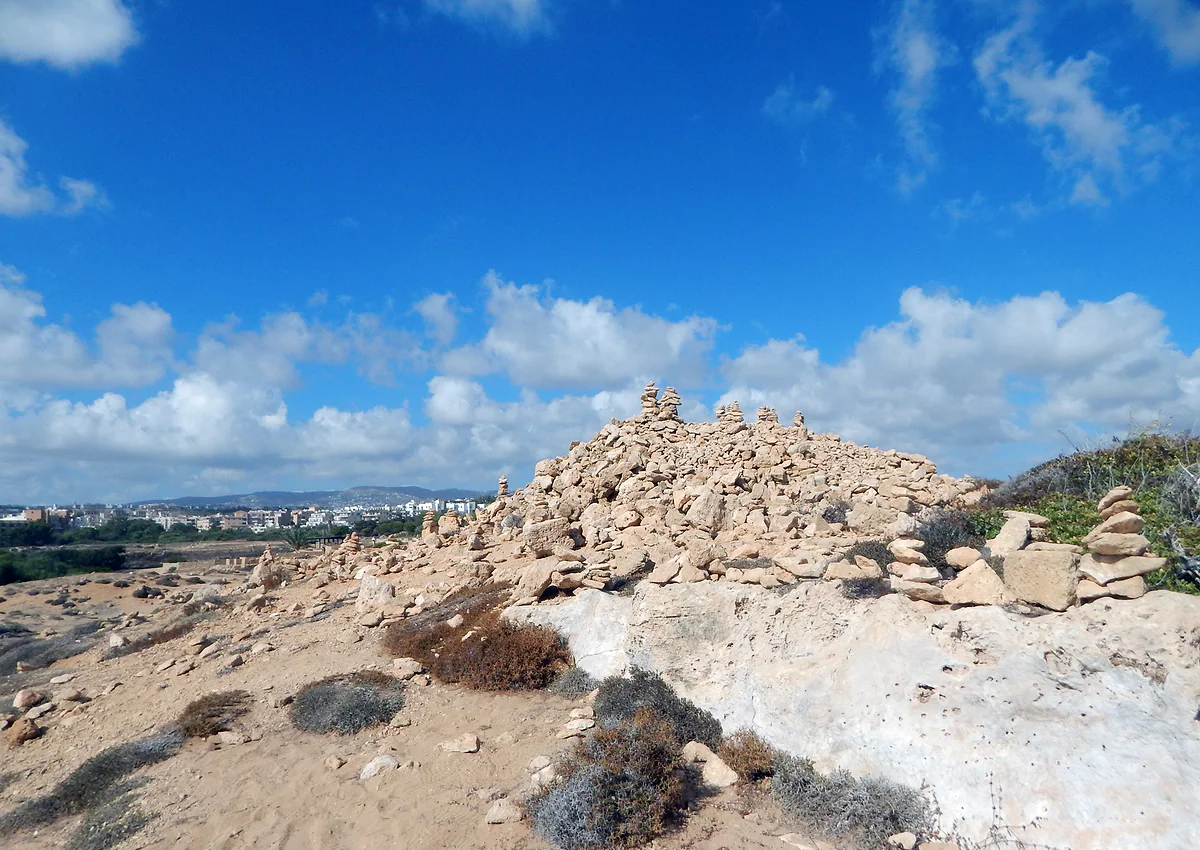
The bare rock and low scrub of the Tombs of the Kings necropolis, with the town of Paphos and its white houses in the distance
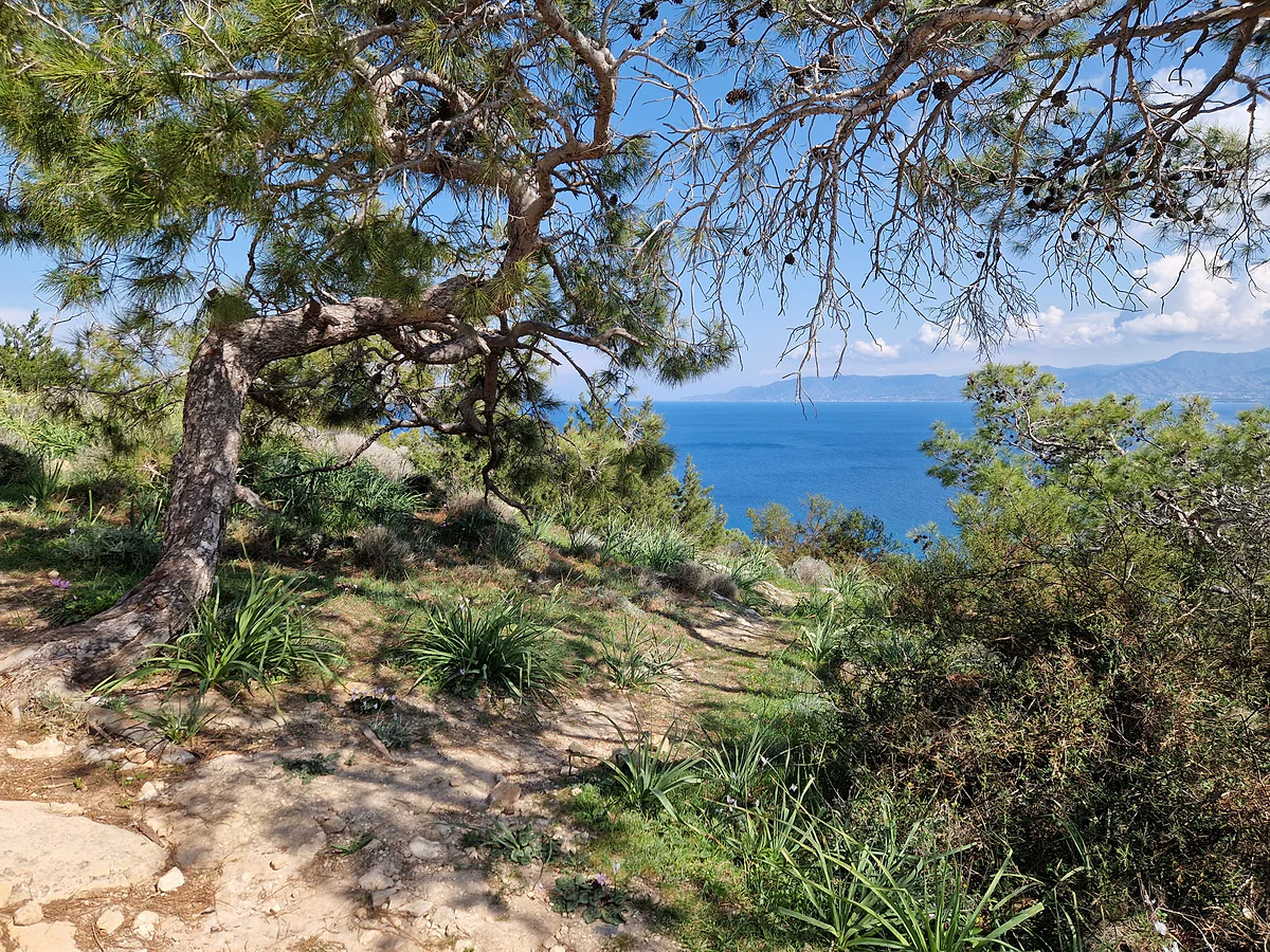
Chrysochou Bay seen through pine trees from the Aphrodite trail on the Akamas peninsula, Cyprus
The district's largest places
Place
Population (2021)
Paphos
37,991
Geroskipou
8,579
Pegeia (Peyia)
6,945
Chlorakas
6,422
Empa
5,505
Tala
3,100
Polis
2,570
Kissonerga
2,292
CYSTAT, population census of 1 October 2021.
The four municipalities after the 2024 reform
Municipality
Area per the UCM
What it covers
Paphos
16.95 km²
The town, with Kato Paphos and Ktima
Ierokipia
43 km²
Geroskipou, its seat, and Koloni
Akamas
142 km²
Pegeia, with Coral Bay and Agios Georgios
Polis Chrysochous
248 km²
Polis and the Latchi coast
Union of Cyprus Municipalities, table of municipal areas. The rest of the district is made up of communities.
Test yourself
True or false?
0/3Pick before you peek.
Paphos district has more than 100,000 residents.
See the answer
True. CYSTAT's 2021 census counted 101,106, of whom 37,991 live in Paphos town.
Geroskipou is part of Paphos municipality.
See the answer
False. Since the 2024 reform it has been the seat of its own municipality, Ierokipia, according to the council.
The Paphos World Heritage Site includes places in Kato Paphos and in Kouklia.
See the answer
True. UNESCO describes it as a serial property with components in Kato Paphos and in the village of Kouklia.
Residents in 2021
101,106
Residents of Paphos town
37,991
Paphos becomes World Heritage
1980
Municipalities since 2024
4
Map
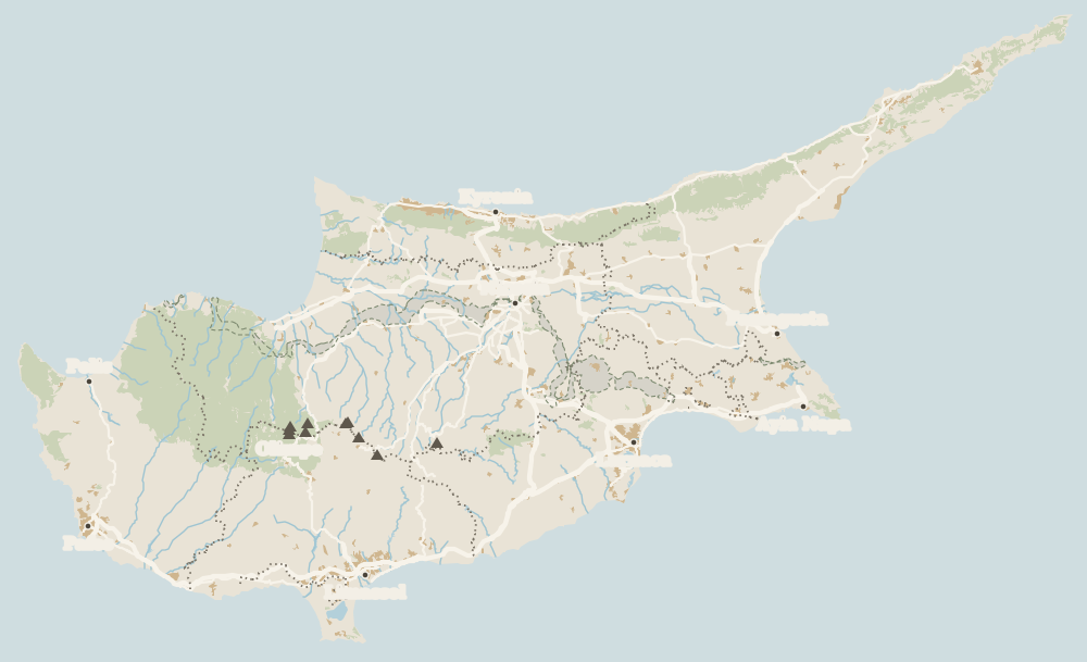
Where Paphos district is
The grey strip with green dashes across the island is the UN buffer zone, the Green Line; to the north is the part of the island not under the control of the Government of the Republic. The Troodos fill the centre and west. Every number opens its guide.
In the west of Cyprus. It runs from the Kouklia coast and Aphrodite's Rock in the south-east to the Akamas peninsula and Chrysochou Bay in the north-west, with the Paphos hills inland.
What is the population of Paphos district?
101,106 according to CYSTAT's 2021 census. Paphos town has 37,991, followed by Geroskipou with 8,579 and Pegeia with 6,945.
Which municipalities are in Paphos district?
Since the 2024 local government reform there are four: Paphos, Ierokipia (based in Geroskipou), Akamas (with Pegeia) and Polis Chrysochous. The rest of the district is rural communities.
What is there to see in Paphos district?
Paphos town with its archaeological park and the Tombs of the Kings, Geroskipou and its church of Agia Paraskevi, Aphrodite's sanctuary at Kouklia, the Akamas peninsula and the villages of the Laona plateau.
Can you get around Paphos district by bus?
Partly. Pafos Buses serves Coral Bay, Pegeia, Polis, Latchi, Aphrodite's Rock and several inland villages, but some routes run only a few times a day. For Akamas and the hills, a car is far easier.
Tourism graduate with a master’s in Tourism Management and Planning from the University of Málaga, who has travelled across Europe. He writes every guide from official sources and his own judgement.

 1Paphos district 2Paphos 3Geroskipou 4Peyia (Pegeia) 5Akamas peninsula 6Polis Chrysochous 7Latchi 8Aphrodite's Rock 9Palaepaphos (Kouklia) 10Kathikas 11Drouseia 12Ineia 13Diarizos Valley 14Pano Panagia 15Agios Neophytos Monastery 16Tala 17Lempa 18Kritou Terra 19Lysos 20Pomos 21Cedar Valley