Limassol district takes up the middle of Cyprus's south coast, between Paphos to the west, Larnaca to the east and Nicosia to the north. The 2021 census counted 262,157 people. It holds the island's second city, about 16 km of town beaches, the ruins of Amathus and Kourion, the wine villages and part of the Troodos.
In 30 seconds
Full read: 3 min
Limassol district had 262,157 people in 2021.
It runs from the south coast up to the Troodos foothills.
It has Amathus, Kourion and Kolossi Castle.
The wine villages are about 27 km from town.
Timios Stavros at Pelendri is a World Heritage church.
I'd split the district into three short trips. A day of town and beach, one of ruins along the west coast and one heading up to the wine villages. With a hire car and a base in Limassol you can do the lot without changing hotel.
Sergio LeponeMy advice
Before you go
What I would keep in mind
01 Most beautiful
An ancient city on either side
The tourist board points out that Limassol sits between Amathus to the east and Kourion to the west. Each one fills half a morning.
Tell most people you’re off to Limassol and they picture the town and the seafront promenade. The district is a good deal more than that. There are two ancient cities on the coast, a castle of the Knights Hospitaller, a peninsula of wetlands with a British base on it and, inland, villages that have lived off wine for centuries. Here’s how I’d tackle it.
Where it is and what it covers
The district occupies the central stretch of the south coast. The Limassol tourist board describes it as lying between Paphos district to the west, Larnaca to the east and Nicosia to the north. Inland it climbs into the Troodos foothills, and some well-known mountain villages, Platres among them, belong to Limassol even though people think of them as Troodos villages.
In the 2021 census CYSTAT counted 262,157 people in the part of the district under government control. The town, Lemesos municipality, had 107,970. The rest live in the municipalities ringing the town and in dozens of rural communities. Since 1 July 2024, after the local government reform, there are two new municipalities, Amathounta to the east and Kourio to the west, put at roughly 45,000 and 38,000 residents by the Union of Cyprus Municipalities.
The town and its coast
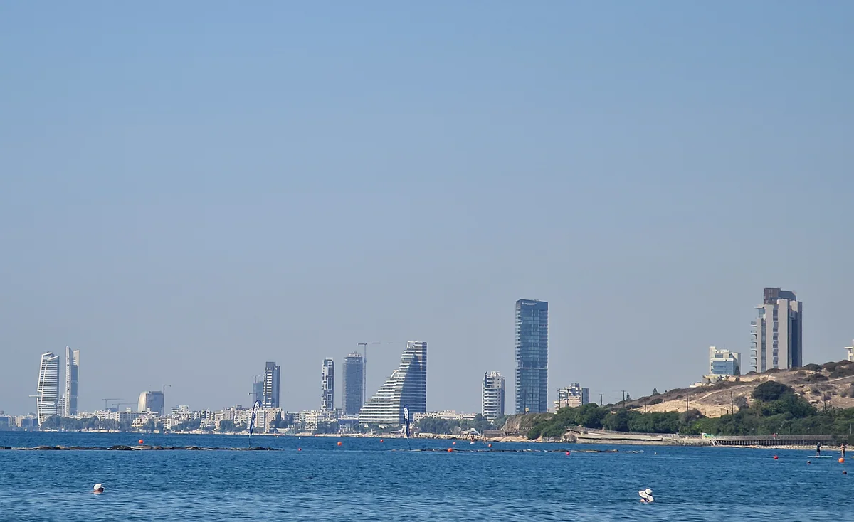
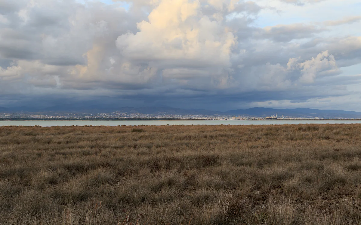
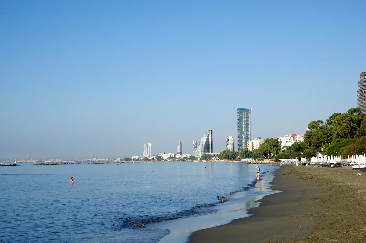
Limassol town is the obvious starting point. The tourist board reckons the town’s coastline adds up to about 16 km, a long strip of sand with hotels, water sports and a promenade. To the east, past the Germasogeia resort area, Amathus Avenue is lined with the big resorts and runs out to the ruins it’s named after. To the west the coast opens out towards the Akrotiri peninsula and Lady’s Mile, a beach the same board puts at around 8 km.
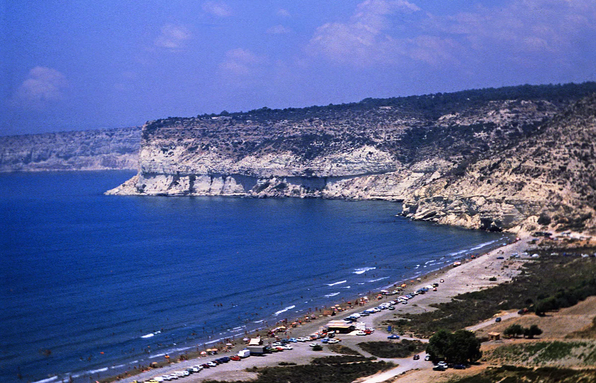
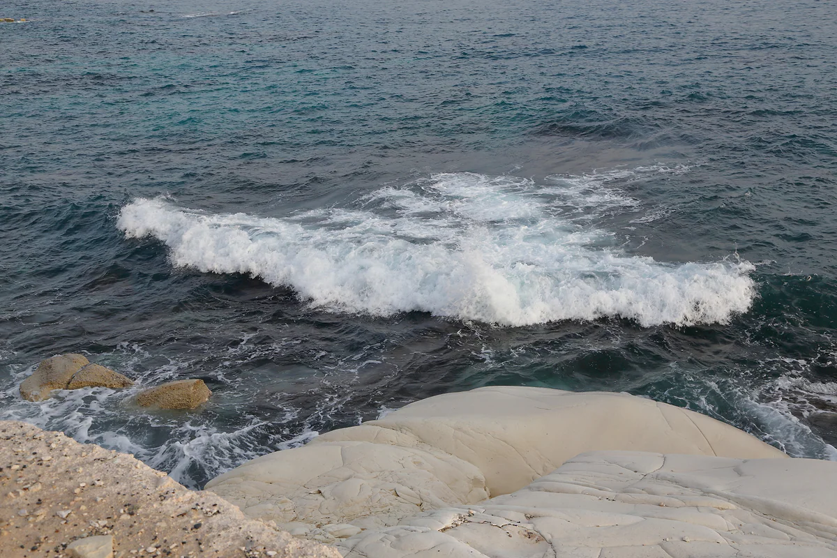
If the sea is your priority you’re spoilt for choice. There are town beaches with every facility, rocky coves for snorkelling and near-empty stretches towards Paphos, as far as Pissouri bay. I compare them one by one in Limassol beaches, and my favourite for its white rocks is Governor’s Beach, close to the Larnaca boundary.
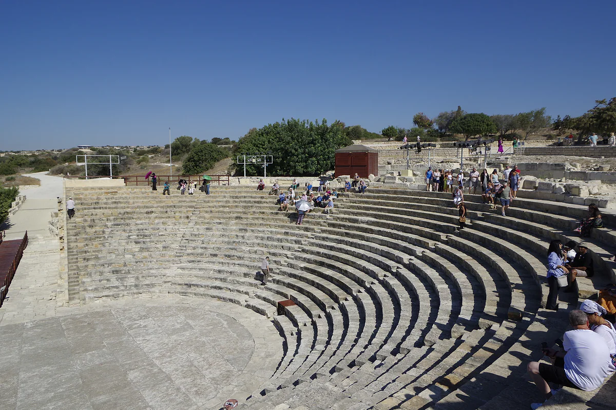
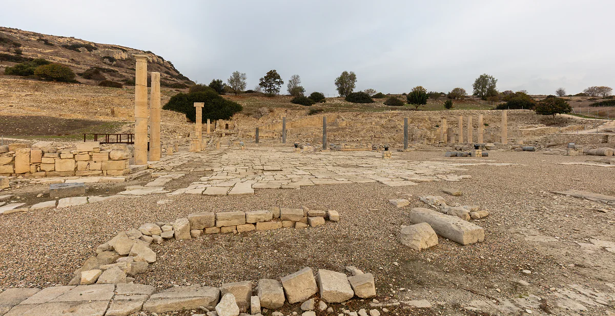
The district’s history makes more sense once you know one fact the tourist board keeps repeating. Limassol grew up in the middle of two older cities, with Amathus on its eastern side and Kourion on its western one. The first was a major centre for the worship of Aphrodite, and you can see its remains beside the coast road at Amathus. The second has the Graeco-Roman theatre and mosaic-floored houses of Kourion, close to the beach of the same name.
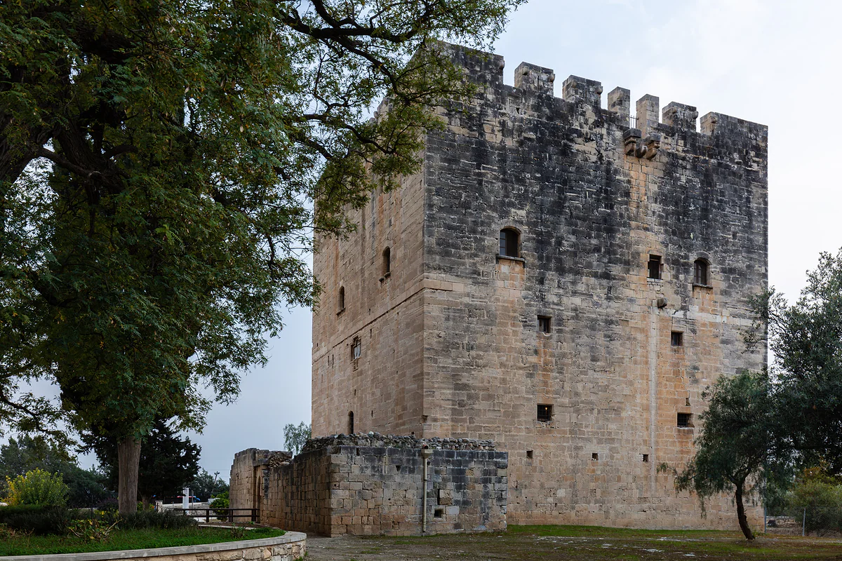
Between the two stands Kolossi Castle, which the board ranks among the great medieval fortresses of Cyprus, once surrounded by vineyards and plantations. I’d give the west coast a morning, Kolossi and Kourion back to back, and save the afternoon for the beach. Further west, towards Paphos, the village of Anogyra keeps a 15th-century church with frescoes.
Wine villages and Commandaria
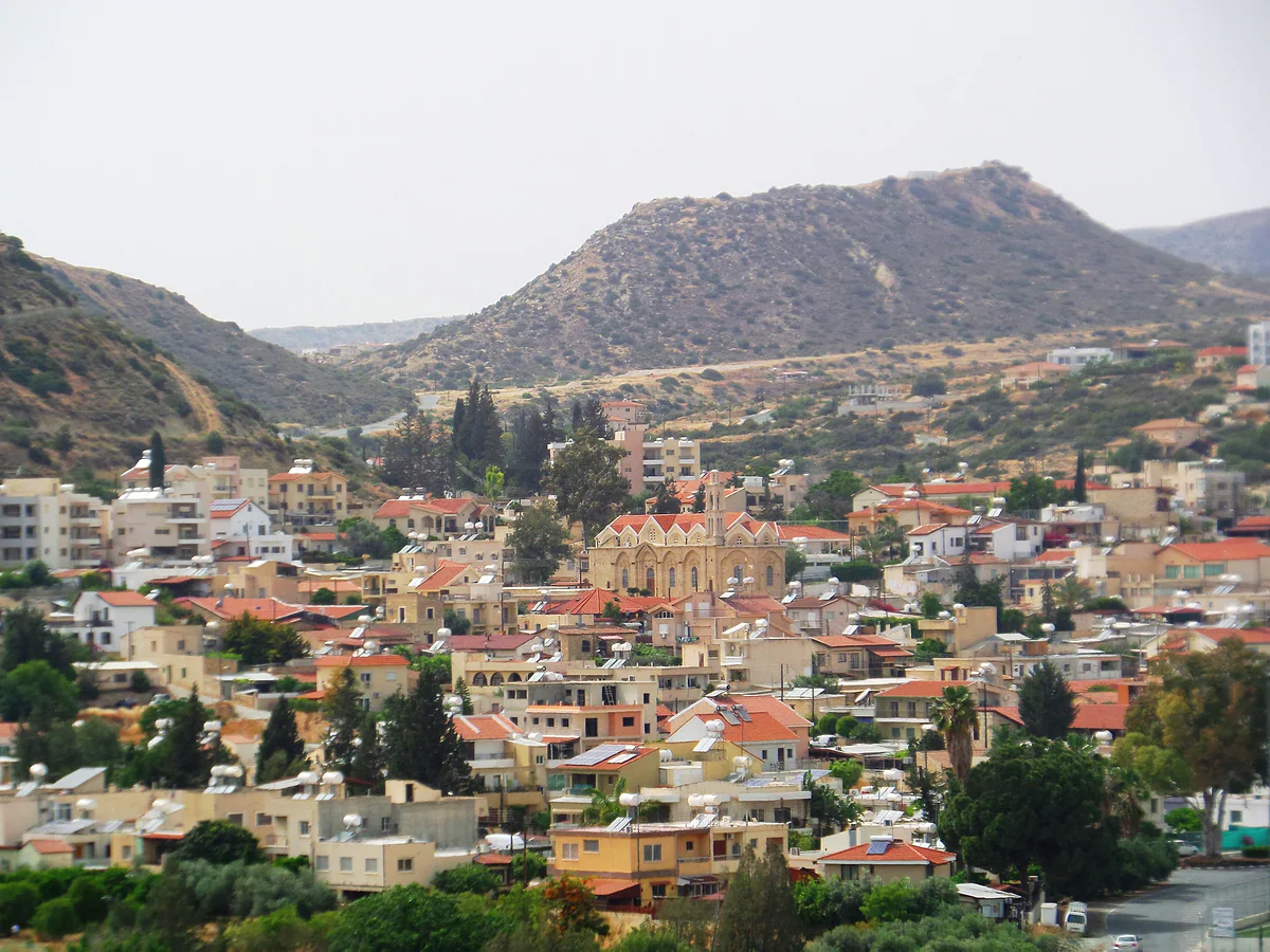
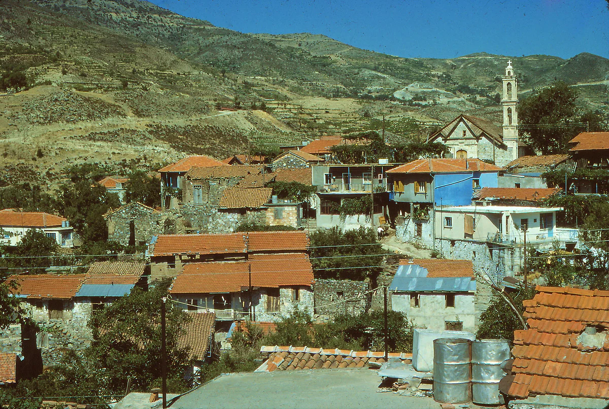
Head inland and the island changes. The Krasochoria, the wine villages, are about 27 km from town as the crow flies. Omodos, with its big square in front of the Holy Cross monastery, is the one I’d see first, and around it are smaller, quieter villages such as Vouni, Vasa Koilaniou and Arsos. I go into them properly in Limassol wine villages.
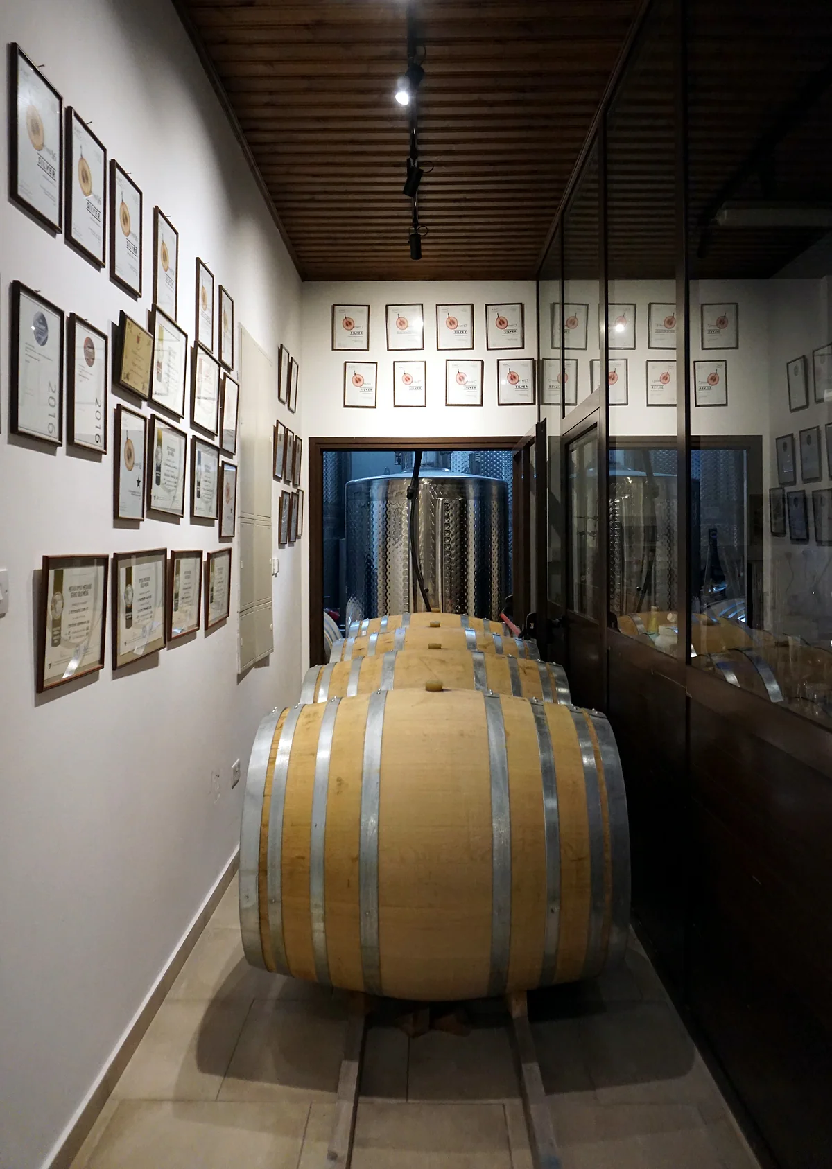
Further east, in the Kouris valley, is Commandaria country. This sweet wine joined UNESCO’s intangible heritage list in 2025, and the tourist board has mapped cycling routes between villages such as Lania, Monagri and Silikou, with small wine museums and family wineries along the way.
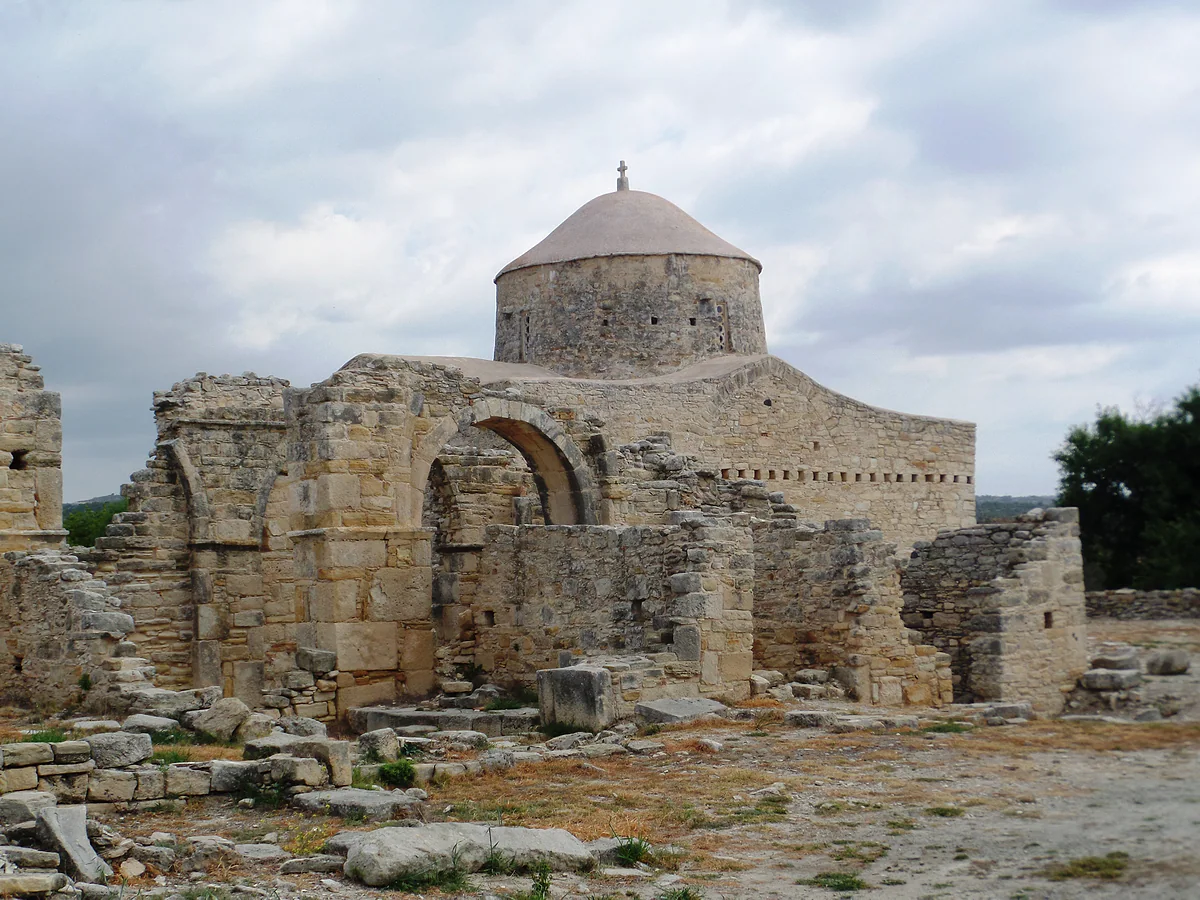
The district also holds the church of Timios Stavros at Pelendri, the only one of the ten Troodos painted churches that UNESCO places in Limassol, and the Akrotiri peninsula, with its Akrotiri salt lake and one of the British Sovereign Base Areas. The administration there is different, and military sites mustn’t be photographed.
How I’d get around
By car, without a second thought. Driving is on the left, just like at home. EMEL’s town buses are fine within Limassol, but the wine villages and the west-coast ruins are far more enjoyable on your own schedule. Either airport is under an hour away by the tourist board’s estimates, so fly into whichever suits you. For somewhere to stay, see hotels in Limassol.
The ruins of Amathus, the ancient city near Limassol, with standing columns and stone blocks spread across the ground
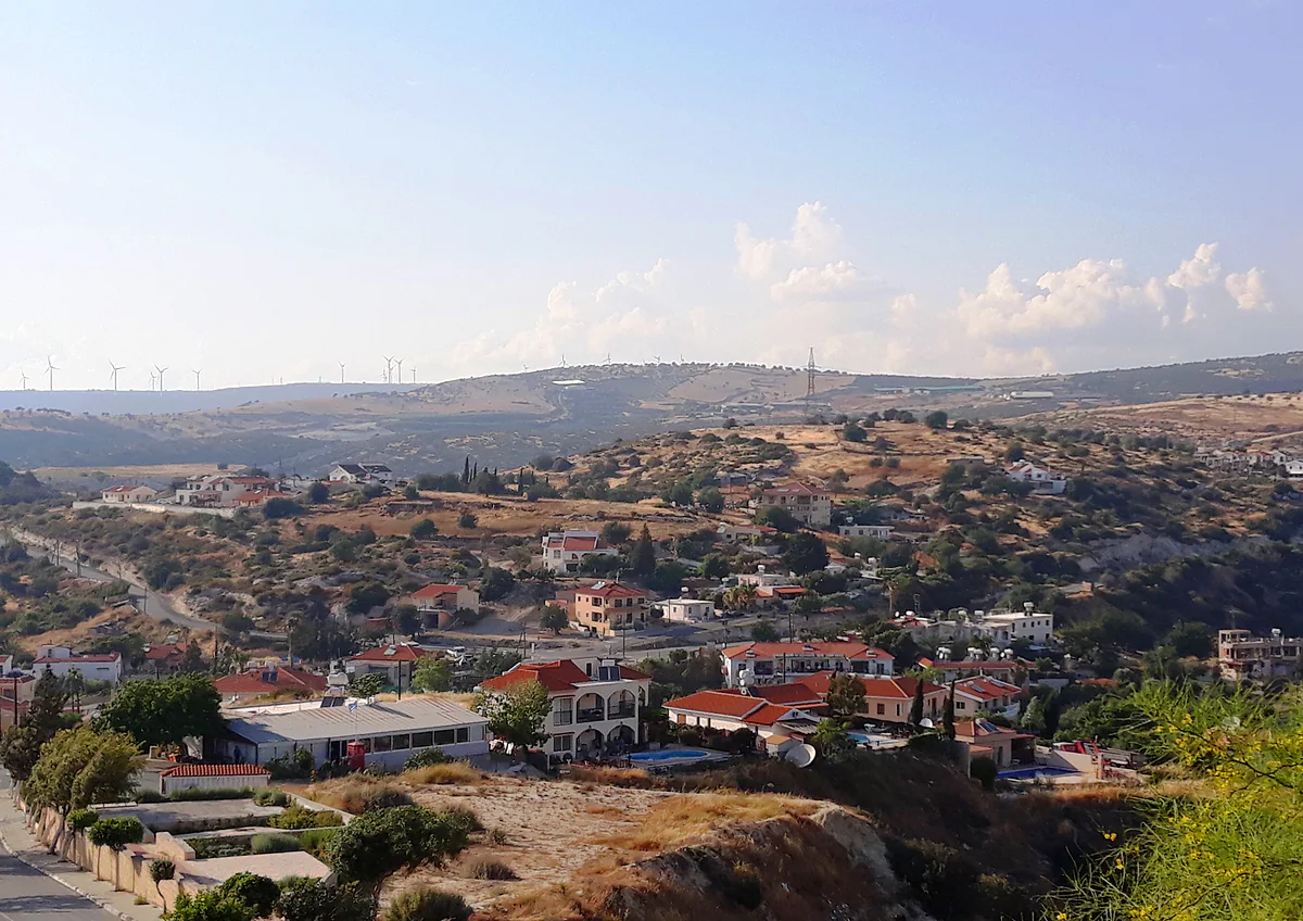
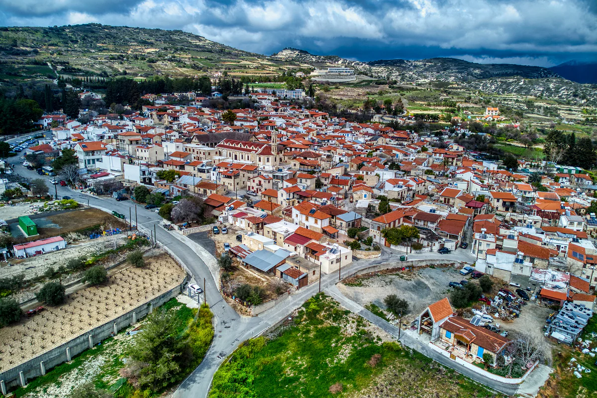
Laneia, one of the wine villages of Limassol district, with red-roofed houses and its church among vine slopes
Municipalities in Limassol district
Municipality
What it covers
Figures
Lemesos (Limassol)
The town
107,970 people in the 2021 census
Amathounta
Agios Athanasios, Germasogeia, Mouttagiaka, Agios Tychonas and more
Set up on 1 July 2024, about 45,000 residents per the UCM
Kourio
Ypsonas, Episkopi, Kolossi, Erimi, Akrotiri and more
Set up on 1 July 2024, about 38,000 residents per the UCM
Polemidia
Kato and Pano Polemidia
Kato Polemidia had 23,174 people in 2021
CYSTAT 2021 census (table 1891108E) and the Union of Cyprus Municipalities. The 2024 local government reform redrew boundaries, so census figures are by community.
Distances from Limassol town
To
Distance
Amathus
About 10 km as the crow flies
Kourion
About 14 km as the crow flies
Governor's Beach
About 22 km as the crow flies
Omodos
About 27 km as the crow flies
Larnaca airport
67 km by road, about 52 minutes
Paphos airport
59 km by road, about 50 minutes
Straight-line figures from OpenStreetMap coordinates (4 October 2026). The airport road distances and times are those published by the Limassol tourist board.
Test yourself
True or false?
0/3Pick before you peek.
Limassol district borders Paphos district to the west.
See the answer
True. The tourist board places it between Paphos to the west, Larnaca to the east and Nicosia to the north.
All ten painted churches of the Troodos are in Limassol district.
See the answer
False. According to UNESCO, nine are in Nicosia district and only Timios Stavros at Pelendri is in Limassol.
Amathounta and Kourio are municipalities created in 2024.
See the answer
True. The Union of Cyprus Municipalities dates both to 1 July 2024, under the local government reform.
People in the 2021 census
262,157
Town coastline, says the tourist board
16 km
Municipalities since the 2024 reform
4
Map
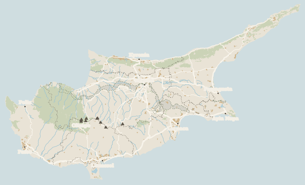
Where Limassol District is
The grey strip with green dashes across the island is the UN buffer zone, the Green Line; to the north is the part of the island not under the control of the Government of the Republic. The Troodos fill the centre and west. Every number opens its guide.
Limassol town, about 16 km of town beaches, the sites of Amathus and Kourion, Kolossi Castle, wine villages such as Omodos and part of the Troodos. To the south lies the Akrotiri peninsula, home to one of the British bases.
What is the population of Limassol district?
262,157 in CYSTAT's 2021 census. The town itself, Lemesos municipality, had 107,970, with the rest in municipalities such as Amathounta, Kourio and Polemidia and in the inland villages.
Is Limassol a good base for touring Cyprus?
To my mind it's the best balanced. It's roughly 57 km from Paphos and 60 km from Larnaca in a straight line, and the wine villages and the Troodos are a morning's drive.
Which districts border Limassol?
The tourist board places it between Paphos district to the west, Larnaca to the east and Nicosia to the north. To the south is the sea.
Are there UNESCO sites in Limassol district?
Yes. Timios Stavros at Pelendri is the only one of the ten Troodos painted churches that UNESCO places in Limassol district. Commandaria wine has also been on the intangible heritage list since 2025.
Tourism graduate with a master’s in Tourism Management and Planning from the University of Málaga, who has travelled across Europe. He writes every guide from official sources and his own judgement.

 1Kourion 2Limassol 3Kolossi Castle 4Episkopi 5Akrotiri peninsula 6Germasogeia 7Pissouri 8Amathus 9Anogyra 10Governor's Beach 11Krasochoria 12Limassol District 13Cyprus Wine Museum