The Liechtenstein Trail, the whole country on foot
The Liechtenstein Trail (Liechtenstein-Weg) is the waymarked route that crosses the country from south to north through all 11 municipalities. The tourist board calls it about 75 km, although its five stages add up to 73.7 km and roughly 21 hours of walking, from Balzers to the Schaanwald customs post. You can join it in any village and collect a certificate in Vaduz at the end.
In 30 seconds
Full read: 4 min
The Liechtenstein Trail crosses the country from Balzers to Schaanwald through all 11 municipalities.
Its five stages add up to 73.7 km; the tourist board rounds it to about 75 km.
Total walking time is roughly 21 hours and the highest point is 1,109 m.
You can start in any village and every stage has a bus at both ends.
The finisher's certificate is collected at the Liechtenstein Center in Vaduz.
I'd walk it over five days from south to north, staying in or near Vaduz and taking the bus to the start and end of each stage. You carry a light daypack, and stage 2, the best of the lot, gets you fresh. If you only have one day, pick that one.
Sergio LeponeMy advice
Before you go
What I would keep in mind
01 Most beautiful
The descent from Triesenberg to Vaduz
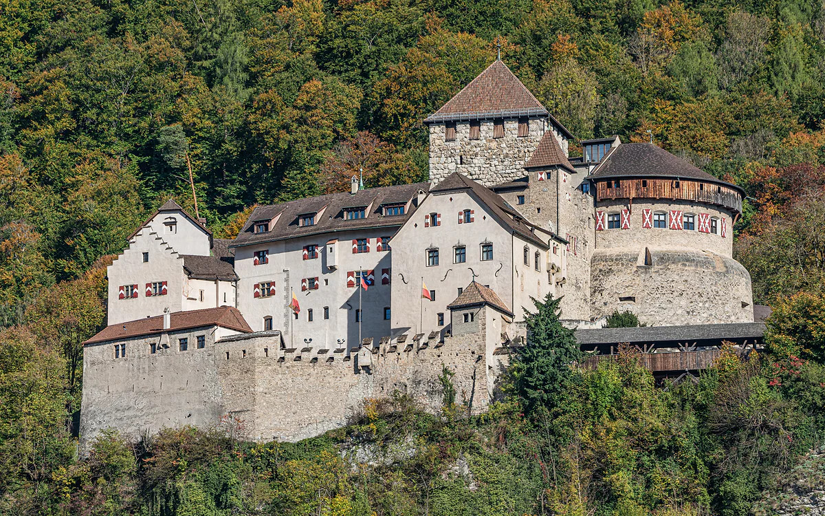
Stage 2 reaches the trail's highest point, 1,109 m, passes the Schalun ruin and drops past the castle into the Städtle. It's the one I'd do even with no time for the rest.
Every stage starts and finishes in a village with a LIEmobil stop, so you can keep the same room all week. With the free guest card many hotels hand out, the buses cost nothing.
The tourist board is upfront that the route runs over meadows, footpaths and tarmac roads. If you're expecting five days of high Alps, you'll be surprised. This is a village-to-village walk.
The tourist board warns that many restaurants along the way close on Saturday, Sunday or Monday. Carry something to eat and refill your bottle at the drinking fountains on the route.
From Vaduz, the tourist board suggests route 11 or 13 to the Balzers, Höfle stop, then about 20 minutes on foot to the old boundary stone on the way to Luzisteig.
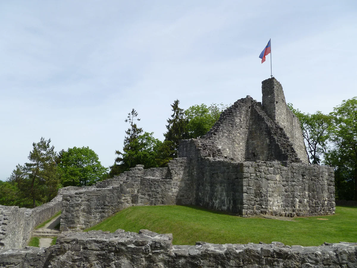
Walking the full length of a country in five days isn’t something you can do in many places, and Liechtenstein has turned it into a waymarked route. The Liechtenstein Trail sets off from the Swiss border at Balzers and finishes at the Austrian customs post in Schaanwald, taking in all 11 municipalities on the way. I can’t think of a better way to get the measure of the place, because you cover it at the pace it deserves.
How long is the Liechtenstein Trail, really?
There’s a small muddle over the numbers worth clearing up before you book anything. The tourist board says you walk “over 75 km”, and the national portal talks about 75 kilometres. Yet if you add up the five stages published on that same website, you get 73.7 km. On top of that come two loops, one around Malbun of 7 km and another around Vaduz of 5.4 km, which aren’t part of the south-to-north crossing. Include both and the total reaches 86.1 km.
I’d plan around the sum of the stages, because that’s what your feet will actually cover. It works out at roughly 21 hours of walking, with 1,914 m of ascent and 1,951 m of descent. That’s a fair amount, but spread over five days it averages a little over four hours a day, leaving plenty of time for a proper lunch and a museum or two.
Five stages, five sides of the country
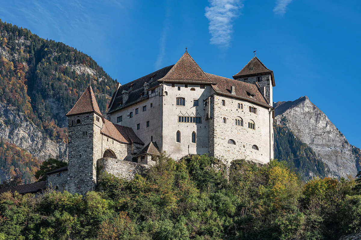
What I like most about the route is that the scenery changes every day. Stage 1, Balzers to Triesenberg, starts below Gutenberg Castle, crosses industrial Triesen and climbs to the Walser village. It’s the hardest in terms of ascent. Stage 2, Triesenberg to Vaduz, hits the high point of the whole trail at 1,109 m, then drops past the Schalun ruin and the castle into the Städtle. That’s my favourite.
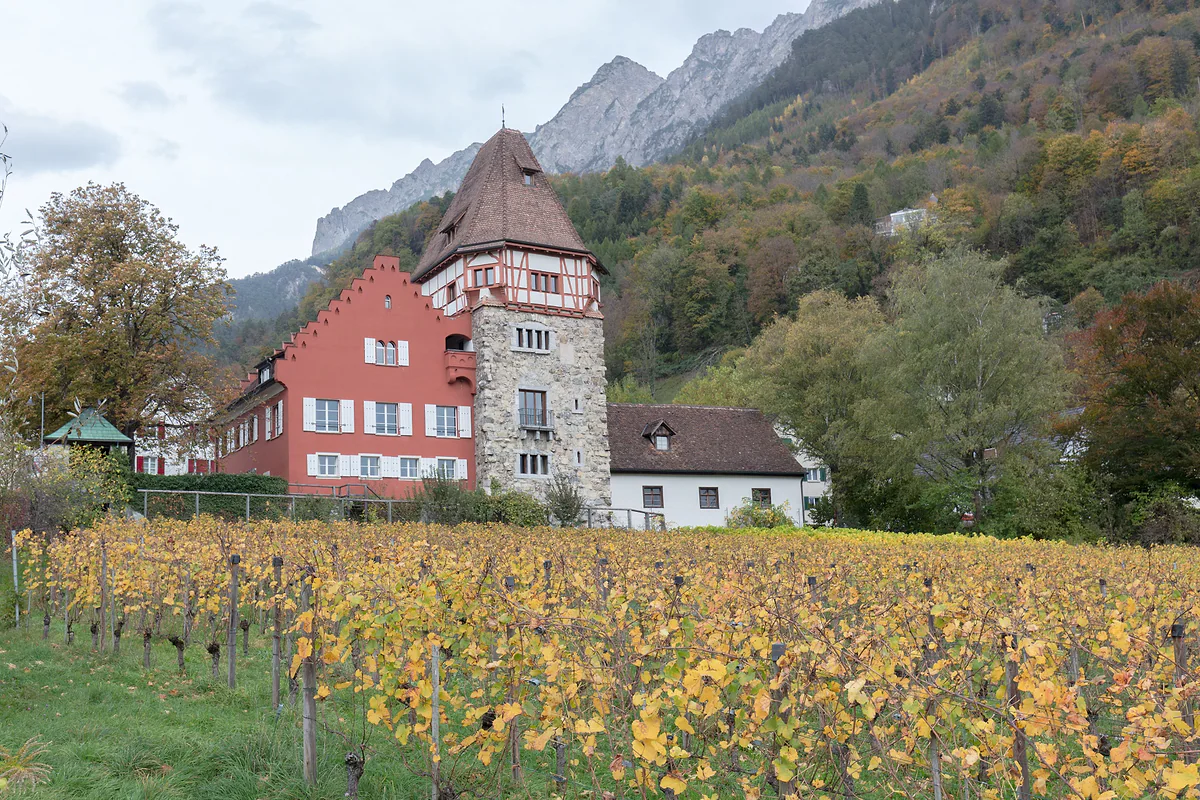
Stage 3, Vaduz to Nendeln, mixes a winery, Roman remains, the Dux tower and the hamlet-sized village of Planken. Stage 4, Nendeln to Ruggell, is the flattest and the most village-hopping, with a break at the Grossabünt bathing lake. And stage 5, Ruggell to Schaanwald, the longest, crosses the Ruggeller Riet, passes the Schellenberg ruins and ends at the border with Austria.
What sort of walking it is
If you’re after proper mountains, this isn’t your route. The tourist board itself says the trail runs over meadows, footpaths and tarmac roads. The highest point doesn’t reach 1,110 m and the lowest, 429 m, comes on the final stage. What you get instead is a string of villages, churches, vineyards and castles, with the Rhine valley on one side and the Alps on the other.
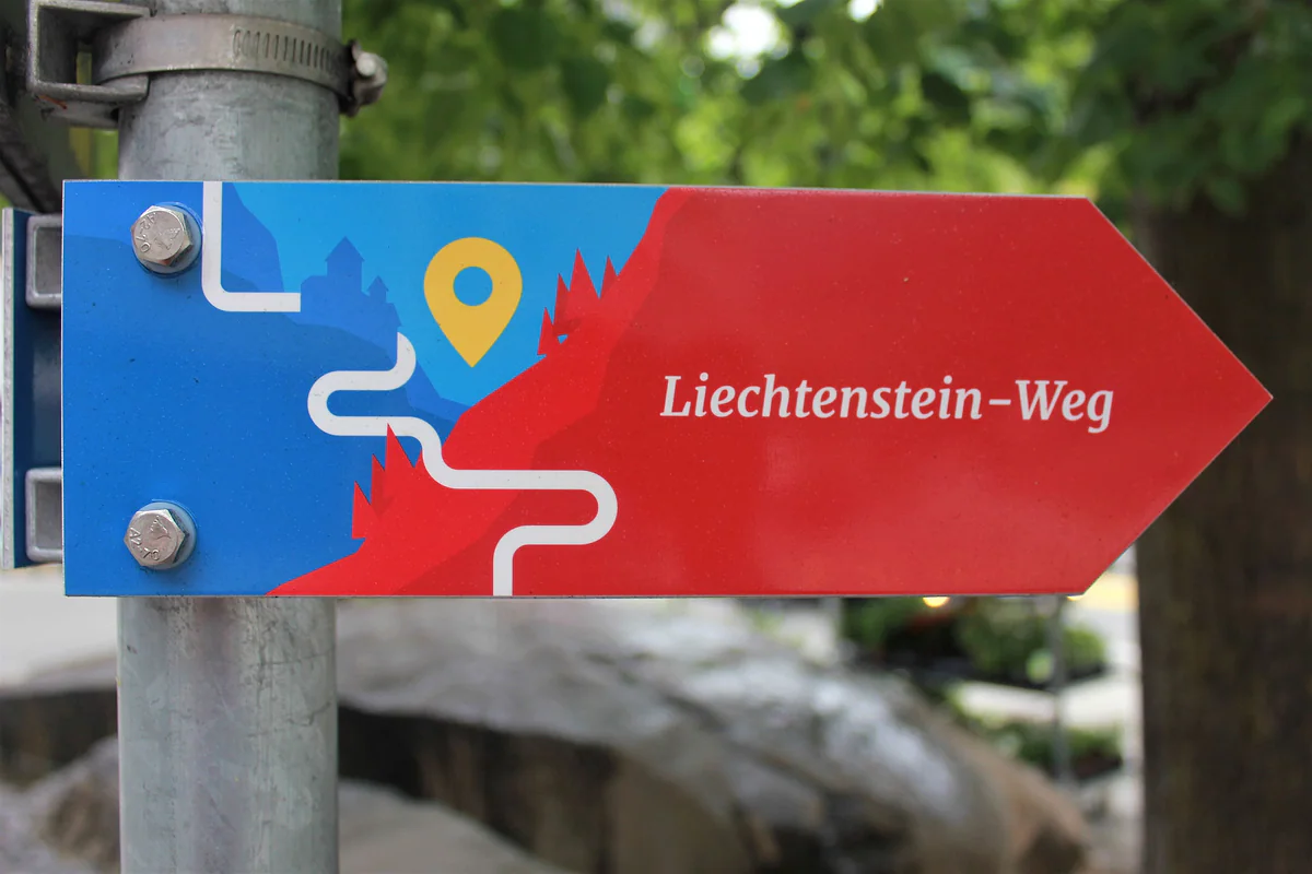
For serious hillwalking there’s the Fürstensteig or the routes out of Malbun, which I cover in the hiking guide. Here they recommend walking boots, poles if they help on the climbs and a water bottle, as there are drinking fountains along the way. Waymarking is good, and the official LIstory app follows the route by GPS without needing a signal, with 148 stops telling stories about the country.
How I’d organise it
The big advantage over most long-distance walks is that the country is tiny and buses reach every village. That means you can stay in one place and head back each evening. I’d choose Vaduz, halfway along, and catch the bus to the start point each morning.
For the first stage, the tourist board suggests route 11 or 13 from Vaduz to the Balzers, Höfle stop, then about 20 minutes on foot to the old boundary stone where it all begins. If you’re staying in a local hotel, ask about the free guest card, which covers LIEmobil buses. Note that the buses don’t take cash, only cards or the app.
There’s another option if you’d rather not think about logistics. The tourist board sells packages with hotels right on the route, luggage transfers (drop your bags before 09:00 and they reach the next hotel by 17:00), packed lunches and the ALL INCLUSIVE adventure pass, which covers public transport and over 20 attractions. I’d only go for it if you want a new hotel every night.
Worth knowing before you set off
One practical warning from the tourist board that plenty of people miss. Many restaurants along the way have their rest day on Saturday, Sunday or Monday, so on those days I’d set off with food in the rucksack. The best season is spring to autumn, when the meadows are green and the days are long.
And one touch I rather like. When you finish, the Liechtenstein Center in Vaduz, open every day, gives you a personal certificate for crossing the country. It’s only a piece of paper, but after 73 kilometres of villages I’d be glad to take it home.
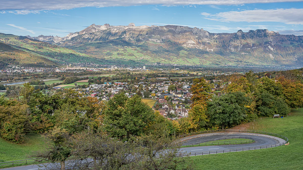
The Rhine valley seen from Vaduz Castle, with the town among autumn trees and the Swiss mountains on the horizon.
The five stages of the Liechtenstein Trail
Stage
Distance
Walking
Ascent and descent
Highest point
1. Balzers to Triesenberg
15.7 km
4 h 35 min
+535 / -137 m
905 m
2. Triesenberg to Vaduz
10.4 km
3 h 05 min
+256 / -699 m
1,109 m
3. Vaduz to Nendeln
13.4 km
4 h 05 min
+460 / -467 m
794 m
4. Nendeln to Ruggell
14.8 km
3 h 55 min
+252 / -271 m
543 m
5. Ruggell to Schaanwald
19.4 km
about 5 h 25 min
+411 / -377 m
697 m
All five stages
73.7 km
about 21 h
+1,914 / -1,951 m
1,109 m
Tourist board figures (archive.org copies from 2026). The total is the sum of the five stage cards; the tourist board rounds the route to about 75 km.
The two loops that complete the trail
Loop
Distance
Walking
Ascent and descent
Malbun
7 km
2 h
+94 / -484 m, using the chairlift
Vaduz
5.4 km
1 h 25 min
+23 / -152 m
Test yourself
True or false?
0/4Pick before you peek.
You can only start the Liechtenstein Trail in Balzers.
See the answer
False. Walking south to north from Balzers is the usual way, but the tourist board says you can join it in any municipality.
The five stages add up to exactly 75 km.
See the answer
False. The official stage cards add up to 73.7 km. The 75 km is the round figure the tourist board uses.
The trail's highest point is above 1,000 m.
See the answer
True. It's on stage 2, between Triesenberg and Vaduz, at 1,109 m. No other stage goes above 905 m.
You get a certificate in Vaduz when you finish.
See the answer
True. It's handed out at the Liechtenstein Center, the Vaduz tourist office, which is open every day.
The five stages added together
73.7 km
Municipalities on the route
11
Story stops in the LIstory app
148
Highest point, on stage 2
1,109 m
Map
Where Liechtenstein Trail is
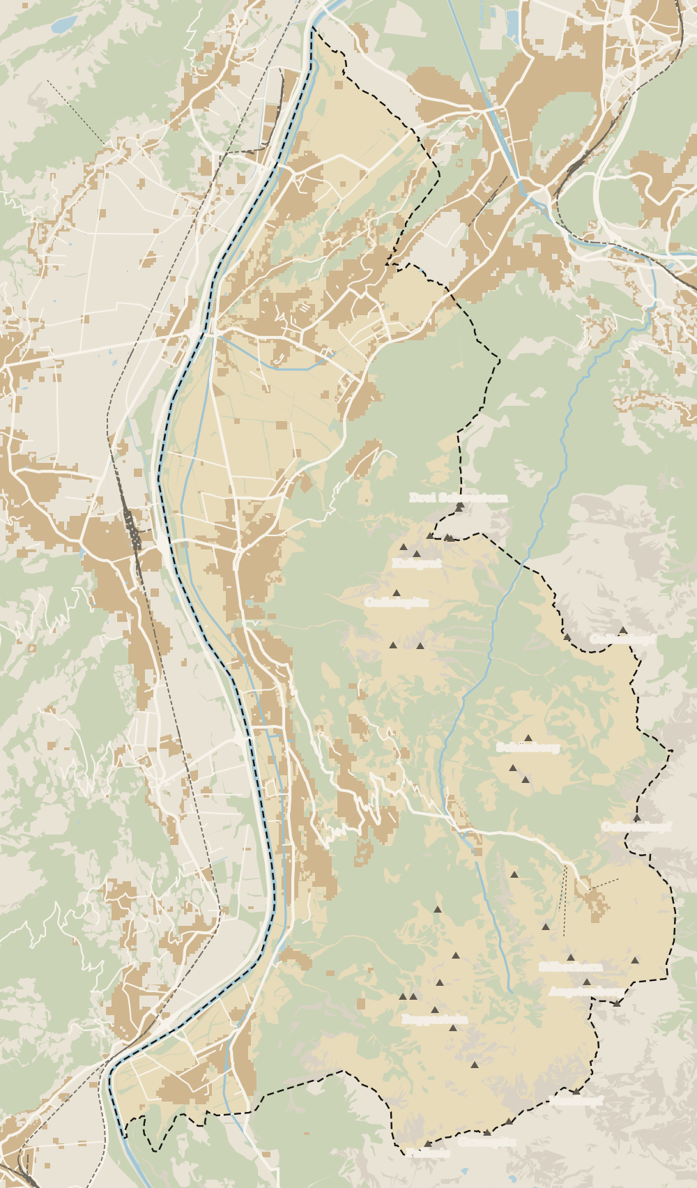
The dashed line is the border: Switzerland across the Rhine, Austria to the north and east. Every number opens its guide.
The tourist board says over 75 km. Add up the five stages on its own website and you get 73.7 km; with the Malbun and Vaduz loops it comes to 86.1 km. I'd plan on about 75 km for the stages.
How many days do you need for the Liechtenstein Trail?
Five is the norm, one per stage, with between three and five and a half hours' walking a day. Strong walkers can join stages 1 and 2 or 3 and 4, but you lose the time for museums and castles.
Where does the Liechtenstein Trail start?
In Balzers, in the south, by an old boundary stone on the way to Luzisteig, about 20 minutes' walk from the Balzers, Höfle bus stop. That said, the tourist board says you can start in any municipality.
Is the Liechtenstein Trail difficult?
It isn't an alpine route. It runs over meadows, footpaths and tarmac, and the highest point is 1,109 m. The tiring bits are the 535 m climb on stage 1 and the steep drop from Planken to Nendeln on stage 3.
Where do you get the Liechtenstein Trail certificate?
At the Liechtenstein Center in Vaduz, the tourist office, which opens every day. You get a personal finisher's certificate and, according to the tourist board, a small surprise.
Is there a Liechtenstein Trail map?
The tourist board recommends the LIstory app, which shows the route and stages by GPS without needing a signal and has 148 stops with stories about the country. The trail itself is well waymarked.
Can you do the Liechtenstein Trail as a package?
Yes. The tourist board sells packages with hotels on the route, luggage transfers, packed lunches and the ALL INCLUSIVE adventure pass. I'd only bother if you want a different hotel every night.
Tourism graduate with a master’s in Tourism Management and Planning from the University of Málaga, who has travelled across Europe. He writes every guide from official sources and his own judgement.

 1Fürstensteig 2Liechtenstein Trail 3Princess Gina Trail