Northern Montenegro, the mountain half of the country
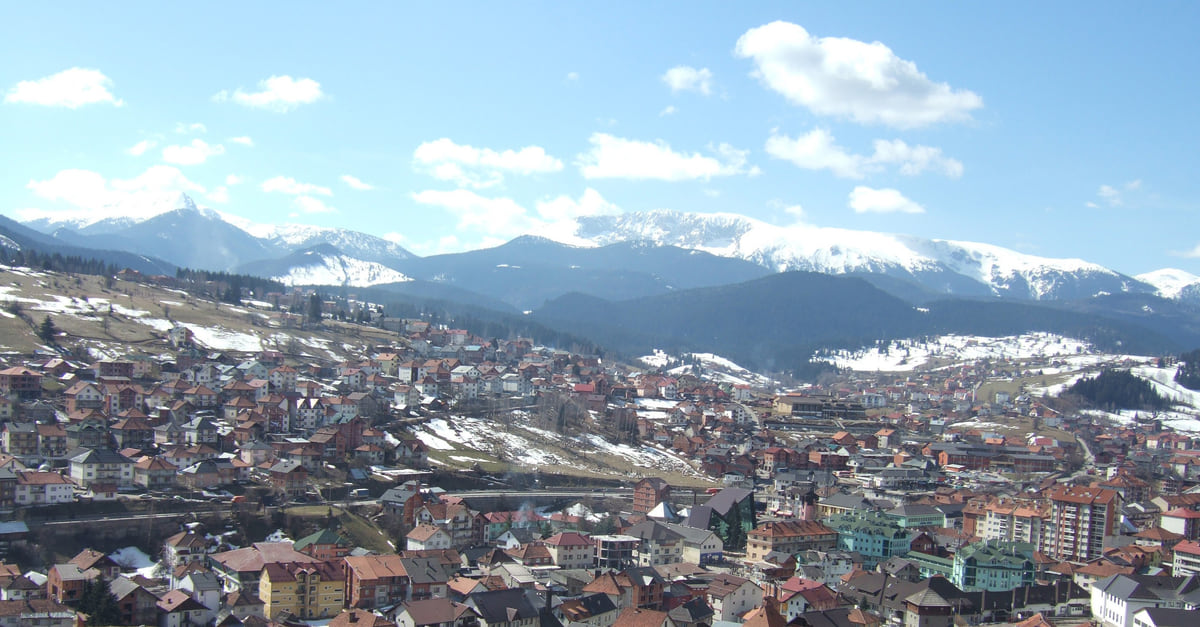
Northern Montenegro is what MONSTAT calls the Northern region: thirteen mountain municipalities, from Pljevlja to Gusinje, covering 7,304 km² with 152,590 residents in 2023. It holds three of the five national parks (Durmitor, Biogradska Gora and Prokletije), the Tara Canyon, Lake Piva and the ski resorts of Kolašin and Žabljak.
In 30 seconds
Full read: 3 min
Northern Montenegro is thirteen mountain municipalities with 152,590 residents in 2023.
It covers 7,304 km², over half the country, on MONSTAT's figures.
It has three national parks: Durmitor (€5), Biogradska Gora (€4) and Prokletije (€3).
Žabljak and Kolašin are the two bases, with more than 93,000 arrivals between them in 2024.
If you only have time for one corner of the north, make it Durmitor from a base in Žabljak, where two days covers the Black Lake, the Tara Canyon and the ring road. Kolašin is the second base, and Prokletije deserves a trip of its own.
Sergio LeponeMy advice
Before you go
What I would keep in mind
01 Most beautiful
Europe's deepest gorge, in UNESCO's words
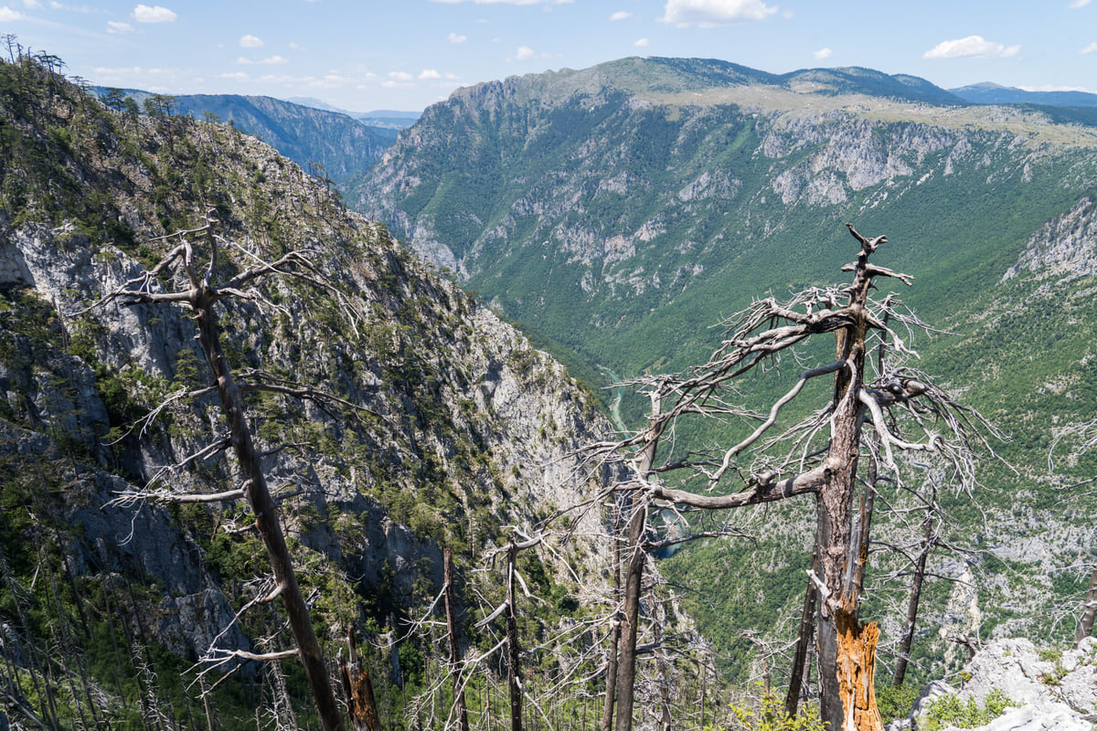
UNESCO calls the Tara Canyon Europe's deepest gorge, and the national tourist board puts its greatest depth at 1,333 metres, between Obzor and Štuoc.
ZPCG's Bar to Belgrade line calls at Kolašin, Mojkovac and Bijelo Polje. Podgorica to Bijelo Polje takes between 2 hrs and 2 hrs 24, for €5.20 in second class.
Žabljak and Kolašin took more than 93,000 of the region's roughly 148,000 tourist arrivals in 2024. Splitting your nights between them puts Durmitor and Biogradska Gora within easy reach.
The north groups thirteen of the country's 25 municipalities and is the least populated region. The overview, from the euro outside the EU to passport rules, is in the Montenegro guide.
Here’s the quickest way to get your head round northern Montenegro. It takes up more than half the country, 7,304 of the 13,883 km² in MONSTAT’s figures, yet fewer than a quarter of the people live there, 152,590 at the 2023 census. This is the half of Montenegro made of mountains, canyons, forest and glacial lakes, with small towns and slow roads, and for me it’s the strongest argument for leaving the coast.
Thirteen municipalities, two ways to travel
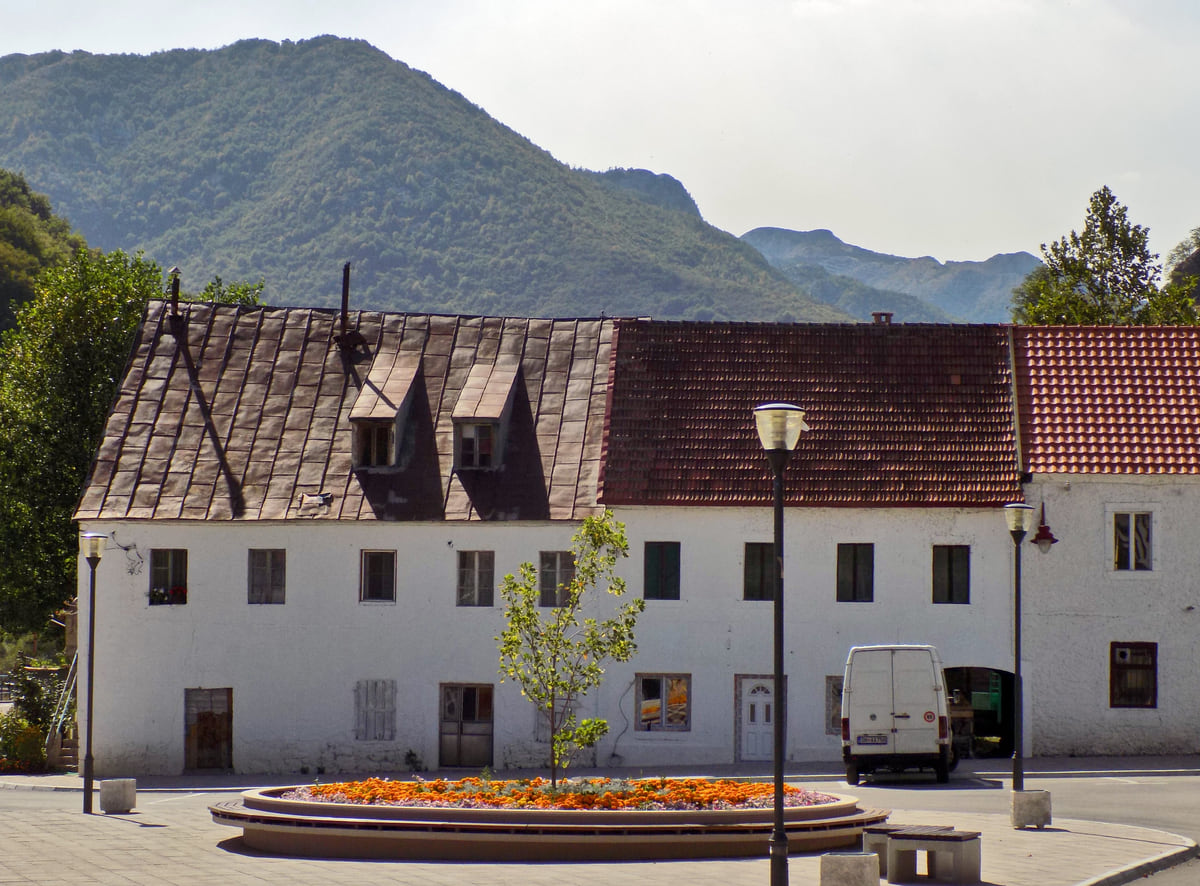
MONSTAT groups Andrijevica, Berane, Bijelo Polje, Gusinje, Kolašin, Mojkovac, Petnjica, Plav, Pljevlja, Plužine, Rožaje, Šavnik and Žabljak into its Northern region. It has no council or government of its own and exists for statistics, but as a travel area it works well. The national tourist board bills all thirteen as its mountain towns and shares three national parks between them.
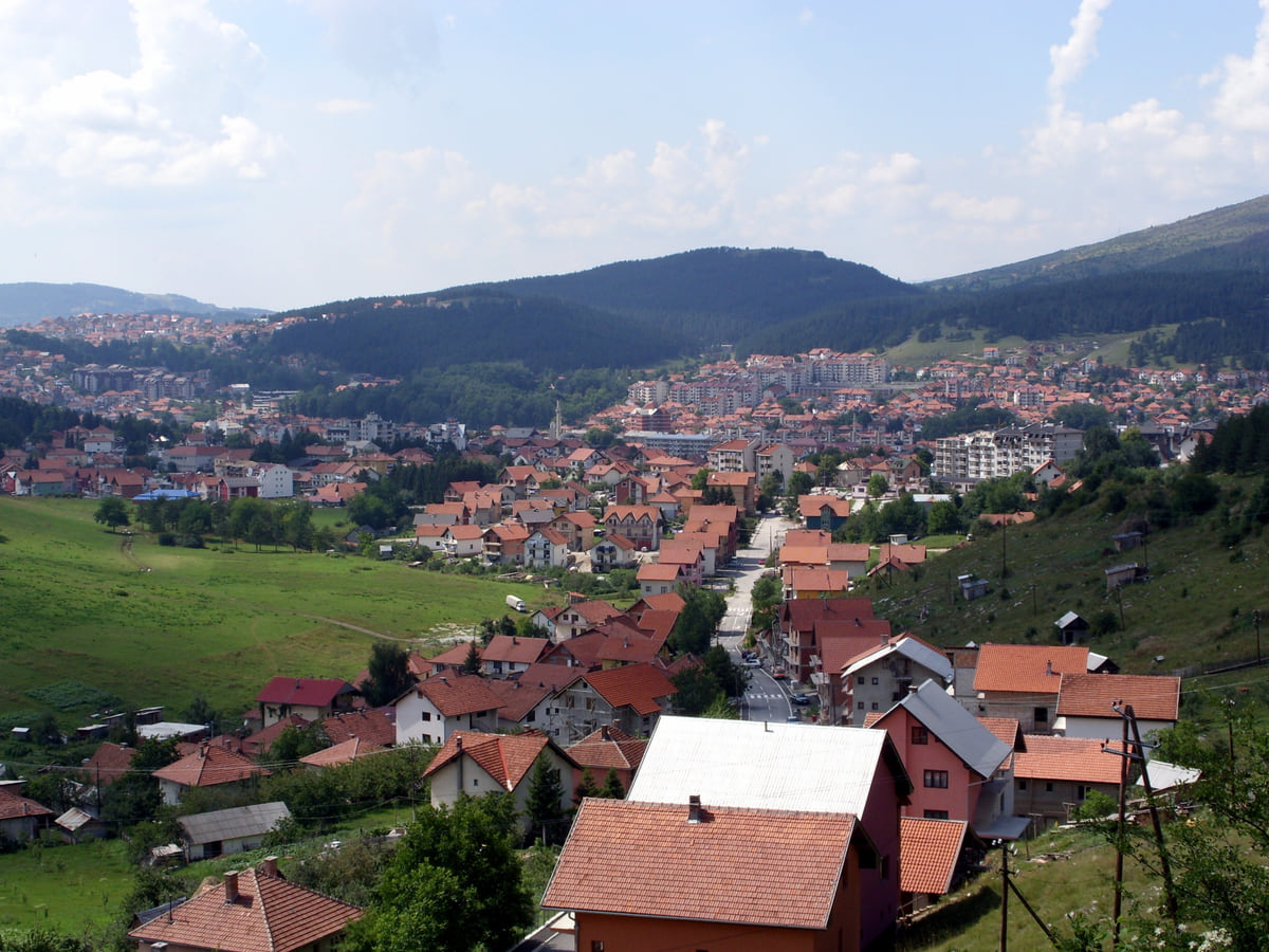
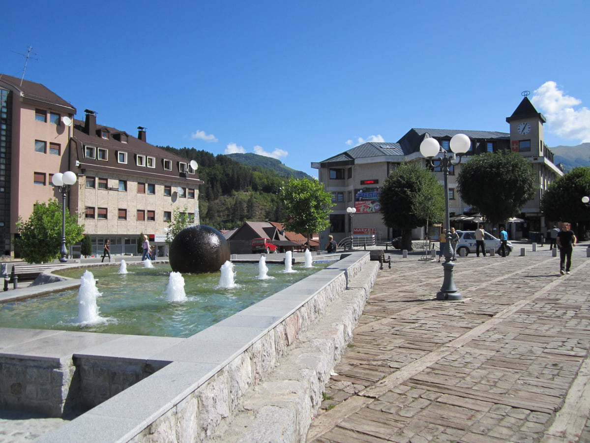
The tourism numbers tell you how people actually travel here. In 2024 the region logged nearly 148,000 arrivals, and 51,488 of them went to Kolašin and 42,214 to Žabljak. The bigger towns, Bijelo Polje, Berane, Pljevlja and Rožaje, see hardly any visitors. Put simply, the tourist north is two bases, Žabljak and Kolašin, and the rest is a quieter north for anyone with time on their hands.
Durmitor and the Tara, the bits not to skip
Durmitor National Park became a national park in 1952 and joined the World Heritage list in 1980. UNESCO counts some fifty peaks above 2,000 metres, glacial lakes, the gorske oči, and the canyons of four rivers, the Tara foremost among them. An adult ticket is €5 a day and covers the visitor centre and the nature trails.
The Tara Canyon is the other side of the same park. The national tourist board gives it 78 km in length and 1,333 metres at its deepest, and UNESCO describes it as Europe’s deepest gorge. You see it from above on the Đurđevića Tara Bridge and from below on a raft, and for me it’s the thing that makes the drive up worthwhile even if you only have a day.
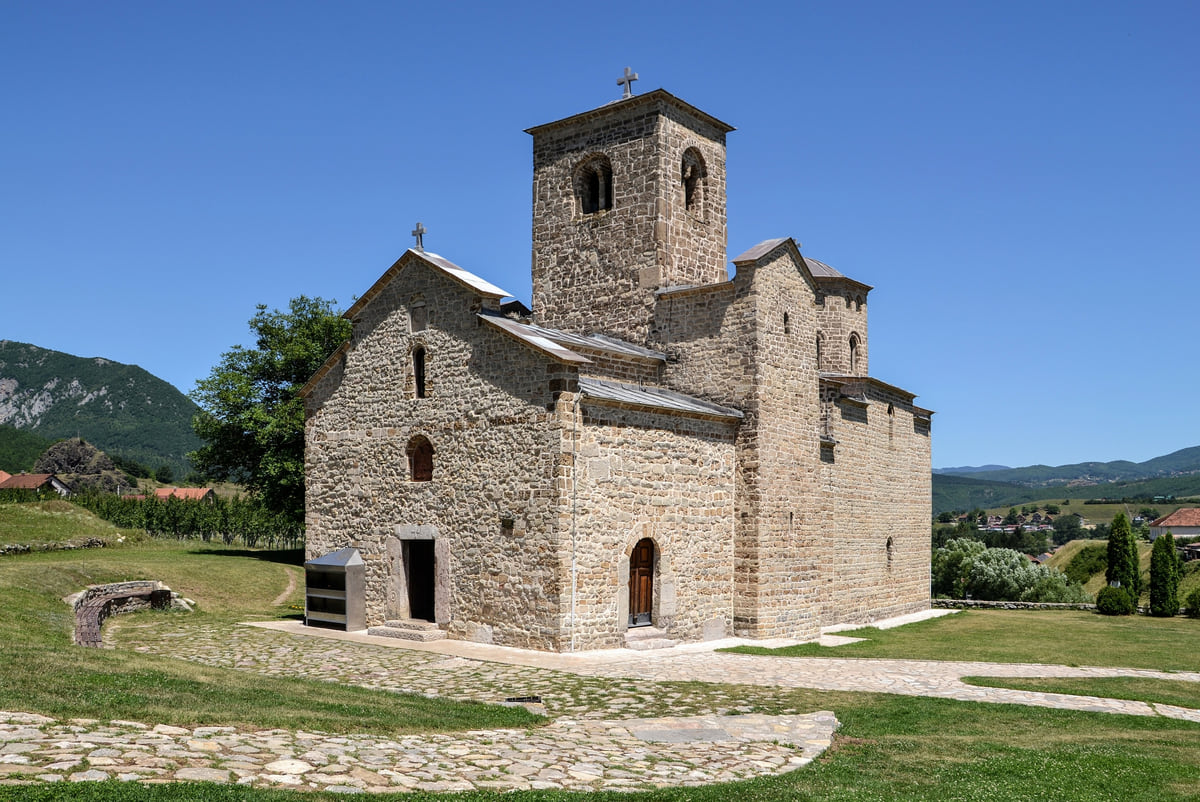
Kolašin sits at 954 metres on the right bank of the Tara and is a stop on the Belgrade to Bar railway. It lives off skiing in winter, with the Kolašin 1600 and Kolašin 1450 resorts linked into roughly 45 km of pistes, and off the forest in summer. Biogradska Gora, a few kilometres away, has protected a 1,600-hectare stand of primeval forest around a glacial lake since 1878, and costs €4 to enter.
To the south, the road drops through the Morača canyon towards Podgorica. The national tourist board lists it as one of two routes from Podgorica to Žabljak, 124 km via Kolašin and Mojkovac against 122 via Nikšić, and it passes Morača Monastery, already inside Kolašin municipality.
Piva, Pljevlja and the Lim valley
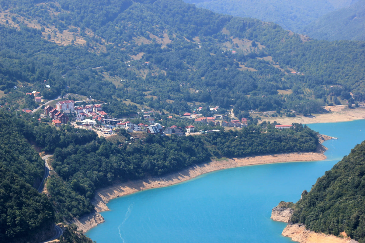
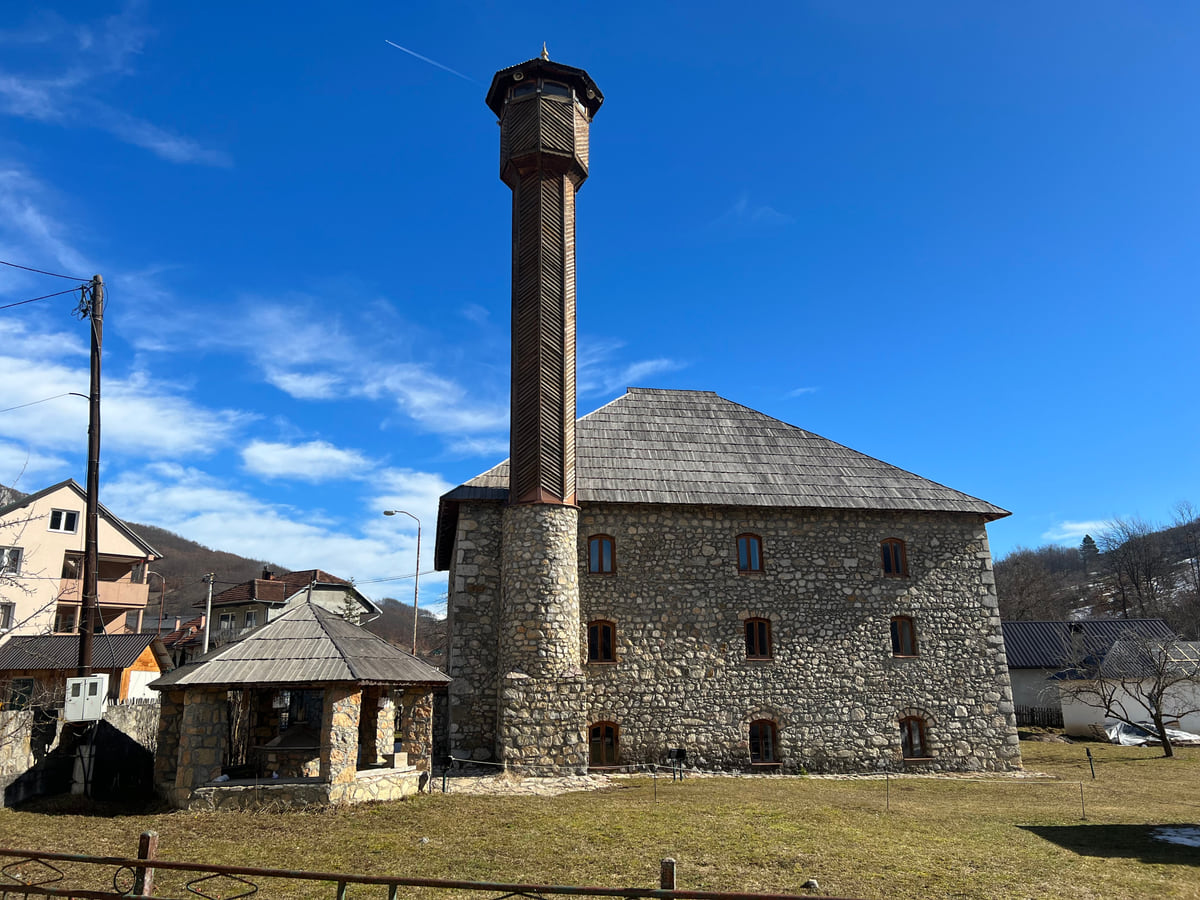
West of Durmitor, Plužine looks over Lake Piva, a reservoir of 112.5 km² and 187.5 metres deep according to MONSTAT, and Piva Monastery was moved stone by stone, with its 1,250 m² of frescoes, when the water rose. Further north, Pljevlja has the Husein Pasha Mosque with its 42-metre minaret, and the Roman finds of Municipium S, more than 1,200 objects from its graves kept in the local museum.
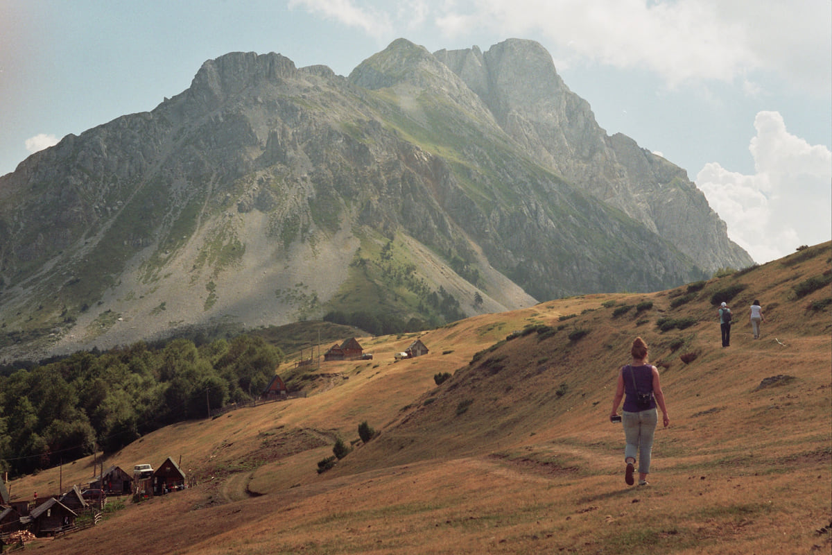
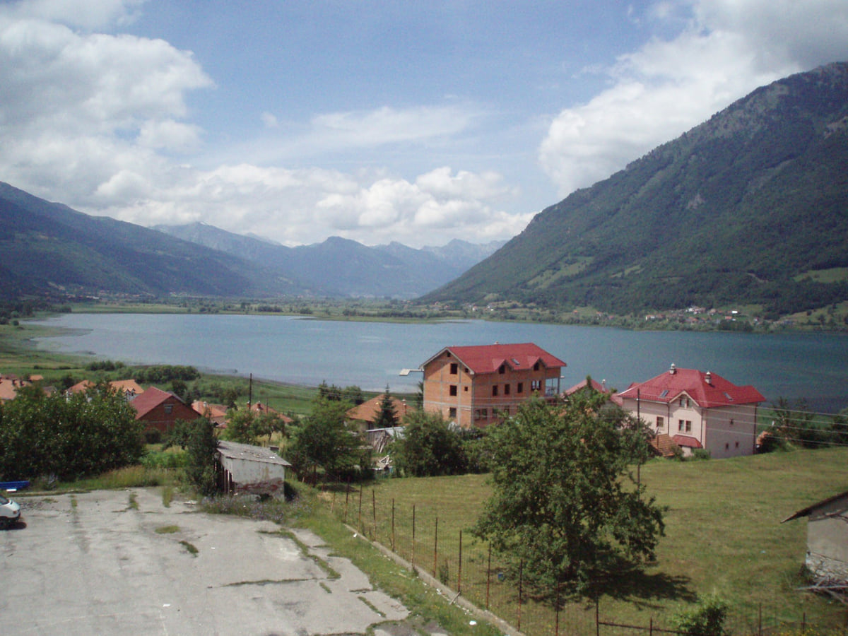
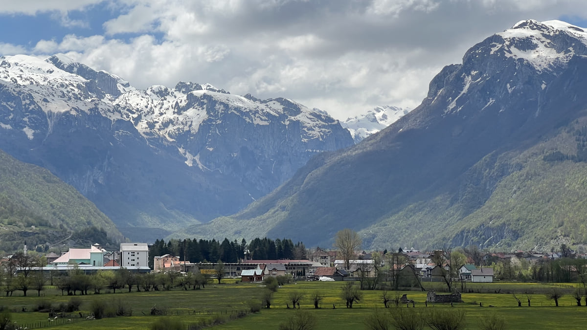
To the east, the Lim runs down through Plav, Andrijevica, Berane and Bijelo Polje. That’s where you’ll find Lake Plav, Prokletije National Park, created in 2009 and home to Zla Kolata at 2,534 metres according to National Parks, and the Đalovića cave, the country’s longest at 17,500 metres according to the national tourist board.
The north has two seasons. From June to September you walk, raft and sleep in cool air, and the national tourist board recommends July and August in Žabljak precisely to escape the heat further south. From December to March the snow takes over. Kolašin’s weather station had snow lying on 71 days in 2024 and a January mean of 0.6 °C, and Pljevlja 0.2 °C, according to Hydrometeorological Institute data published by MONSTAT.
A hire car is the practical choice; just remember traffic drives on the right. ZPCG trains stop at Kolašin, Mojkovac and Bijelo Polje, but Žabljak, Plužine, Šavnik, Plav and Gusinje are road-only, and the mountain roads are narrow and slow. Coming up from central Montenegro, the natural ways in are via Nikšić to Žabljak or up the Morača to Kolašin.
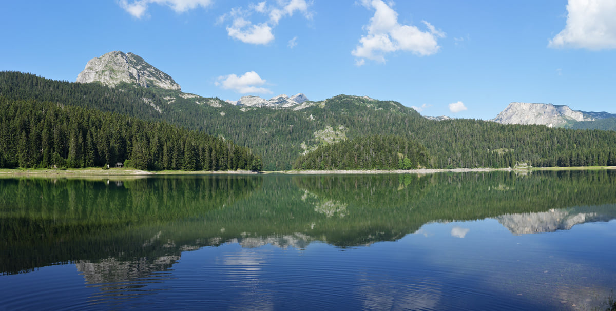
The Black Lake in Durmitor near Žabljak, ringed by conifer forest, with the mountain reflected in the still water
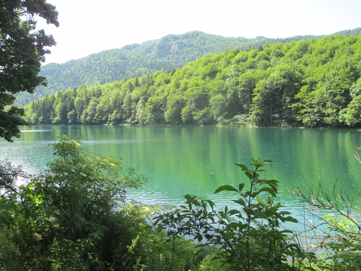
Lake Biograd, with green water, surrounded by the forest of Biogradska Gora National Park on a summer day
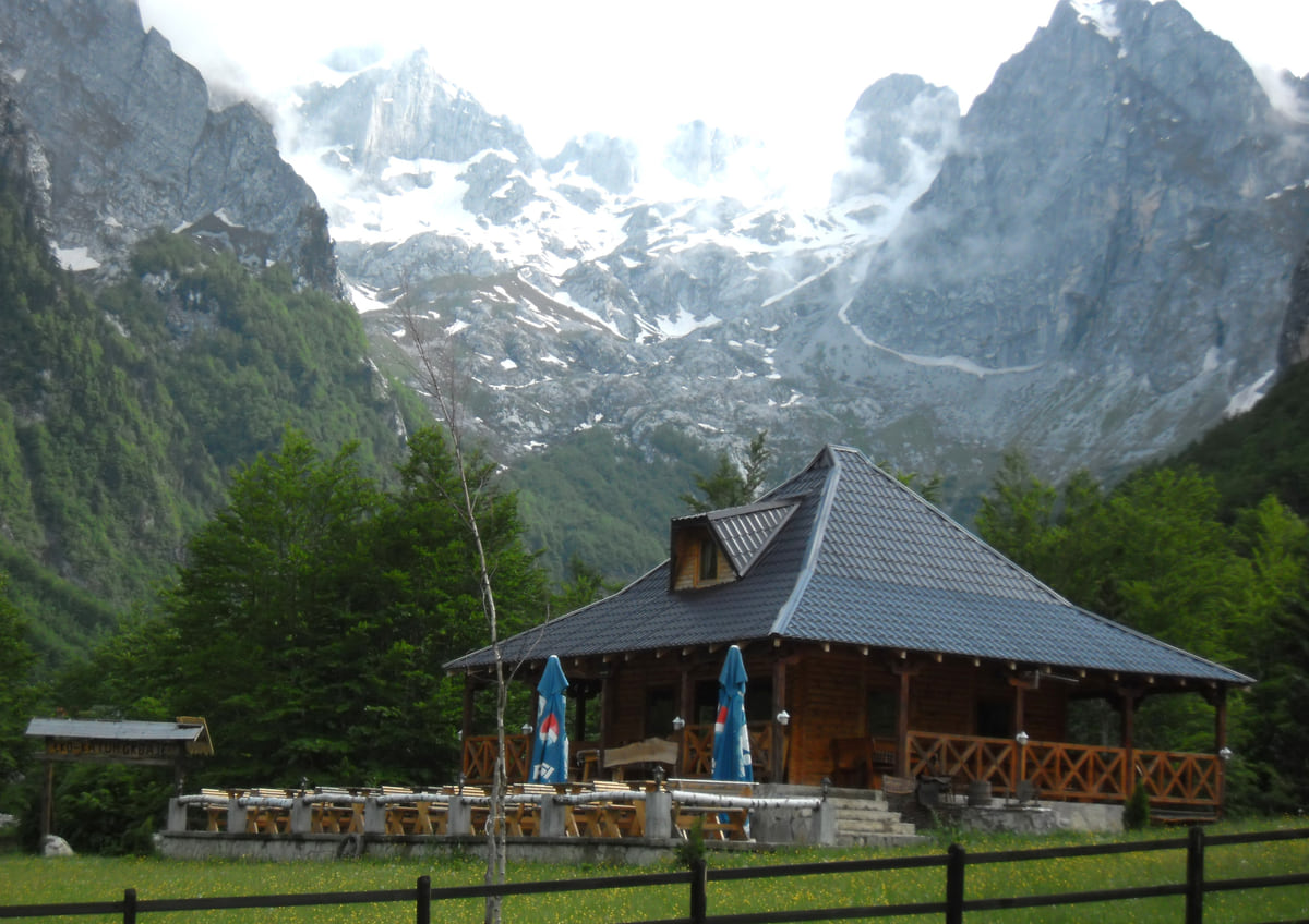
A wooden mountain hut in the Grbaja valley in Prokletije, at the foot of rocky peaks with patches of snow
The thirteen municipalities of northern Montenegro
Municipality
Population 2023
km²
Arrivals 2024
Bijelo Polje
38,662
923
5,775
Berane
24,645
499
6,961
Pljevlja
24,134
1,343
10,735
Rožaje
23,184
431
2,793
Plav
9,050
326
1,262
Mojkovac
6,728
359
6,354
Kolašin
6,700
906
51,488
Petnjica
4,957
174
no data
Gusinje
3,933
157
4,636
Andrijevica
3,910
330
1,964
Žabljak
2,941
447
42,214
Plužine
2,177
853
8,805
Šavnik
1,569
556
4,975
Source: MONSTAT (2023 census, 2025 statistical yearbook and 2024 tourism survey). Petnjica is missing from the 2024 tourism table.
The north's three national parks
Park
Since
Adult ticket
Usual base
Durmitor
1952
€5 a day
Žabljak
Biogradska Gora
1952
€4 a day
Kolašin
Prokletije
2009
€3 a day
Plav and Gusinje
Source: National Parks of Montenegro (prices) and the national tourist board (park pages), checked on 11 October 2026.
Test yourself
True or false?
0/3Pick before you peek.
Northern Montenegro covers more than half the country.
See the answer
True. Its thirteen municipalities add up to 7,304 km² of the country's 13,883 km², on MONSTAT's area figures.
Kolašin is the most populous municipality in the north.
See the answer
False. That's Bijelo Polje, with 38,662 residents in 2023. Kolašin has 6,700, though it drew more tourists than anywhere else in the north.
Šavnik has the smallest population of any municipality in Montenegro.
See the answer
True. It had 1,569 residents at the 2023 census, fewer than Plužine (2,177) and Žabljak (2,941), according to MONSTAT.
Area of the thirteen municipalities
7,304 km²
Residents at the 2023 census
152,590
National parks
3
Greatest depth of the Tara Canyon
1,333 m
Map
Where Northern Montenegro is
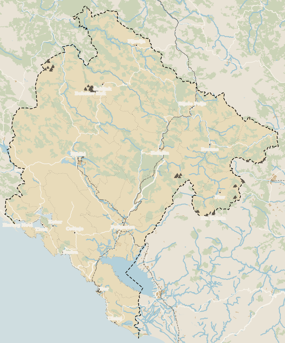
The Adriatic coast runs from Herceg Novi to Ulcinj; the centre holds Podgorica, Cetinje and Lake Skadar, and the north, Durmitor and the Tara Canyon. Every number opens its guide.
Durmitor National Park with the Black Lake and Bobotov Kuk, the Tara Canyon and the Đurđevića Tara Bridge, Lake Piva, Biogradska Gora, Morača Monastery, the Husein Pasha Mosque in Pljevlja and the Grbaja valley in Prokletije.
Which towns are in the north of Montenegro?
MONSTAT's Northern region is made up of Andrijevica, Berane, Bijelo Polje, Gusinje, Kolašin, Mojkovac, Petnjica, Plav, Pljevlja, Plužine, Rožaje, Šavnik and Žabljak. It's a statistical region, not a county with its own government.
Where should I stay in northern Montenegro?
Žabljak for Durmitor, the Tara and Piva, and Kolašin for Biogradska Gora, the Morača valley and skiing. They were the two municipalities with the most tourist arrivals in the region in 2024, according to MONSTAT.
When is the best time to visit northern Montenegro?
June to September for walking and rafting, December to March for skiing. The national tourist board picks July and August for Žabljak, when the south of the country is at its hottest.
Can you get to northern Montenegro by train?
Partly. ZPCG's Bar to Belgrade line stops at Kolašin, Mojkovac and Bijelo Polje. Žabljak, Plužine, Plav and Gusinje have no railway, so you'll need the road.
How cold does northern Montenegro get?
Properly cold in winter. In 2024 the January mean was 0.2 °C in Pljevlja and 0.6 °C in Kolašin, which had 71 days with snow on the ground, according to Hydrometeorological Institute figures published by MONSTAT.
Tourism graduate with a master’s in Tourism Management and Planning from the University of Málaga, who has travelled across Europe. He writes every guide from official sources and his own judgement.

 1Northern Montenegro 2Žabljak 3Šavnik 4Tara Canyon 5Plužine 6Mojkovac 7Pljevlja 8Kolašin 9Bijelo Polje 10Berane 11Andrijevica 12Petnjica 13Rožaje 14Plav 15Gusinje