The island of Malta is the largest in the archipelago, 245 km² with 546,461 residents at the end of 2025, about 93% of the country. It holds the capital, Valletta, the airport and 54 of the 68 local councils. It makes sense as six areas, from the Grand Harbour to the northern beaches, and buses reach them all from Valletta or Buġibba.
In 30 seconds
Full read: 3 min
The island of Malta covers 245 km² and has 546,461 residents, about 93% of the country.
It has 54 of the 68 local councils, the capital and the airport.
It breaks down into six areas: Grand Harbour, interior, south, west, north, and Sliema with St Julian's.
Almost every bus starts from Valletta or Buġibba.
The sandy beaches are mainly in the north.
With three or four days on the island I'd give each big area a day and stay in one place throughout, Valletta or Sliema. Changing hotels on an island of 245 km² just costs you hours.
Sergio LeponeMy advice
Before you go
What I would keep in mind
01 Getting there
Two terminals for the whole island
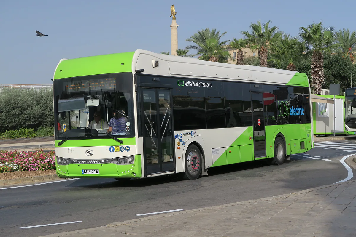
Almost every route starts at Valletta's terminal by the Triton Fountain or at Buġibba in the north. A ticket costs €2 in winter and €2.50 in summer and lasts two hours.
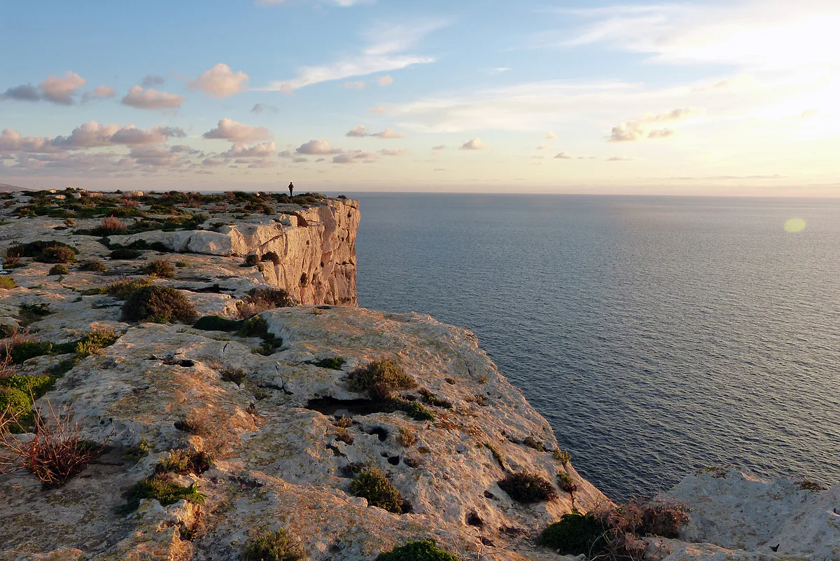
The Dingli coast drops up to 230 m into the sea, according to Spain's foreign ministry. It's where I'd end the day on the main island, with the Magdalene chapel perched on the edge.
It gives you unlimited day and night buses plus the airport express routes for four days. If you're covering a different area each day, it pays for itself quickly.
Most of Malta's coastline is rock, and the sandy beaches are mainly in the north and on Gozo. If a beach is what you want, look towards Mellieħa rather than Valletta.
My scores out of 10, based on what each area offers per day spent there. It isn't a ranking of where to stay, but of which area I'd give a whole day to first.
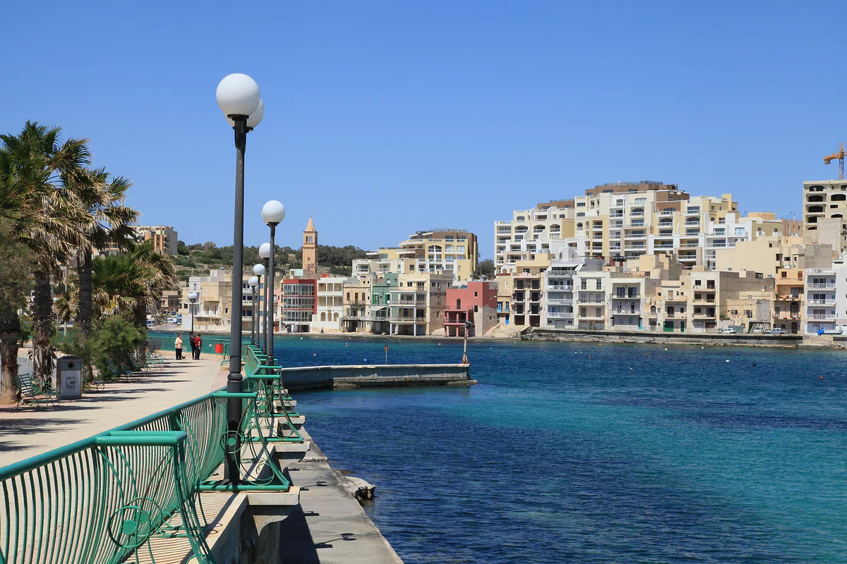
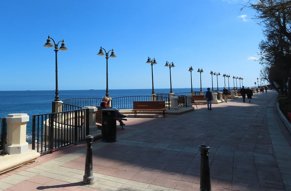
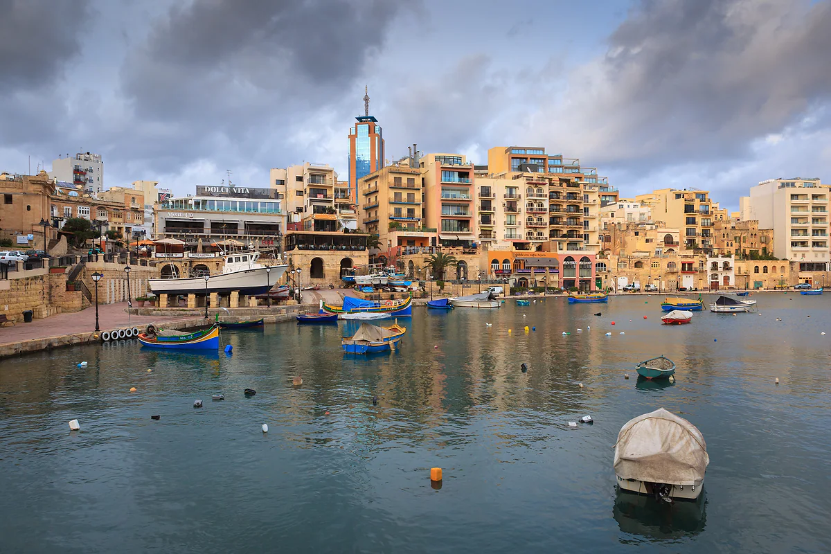
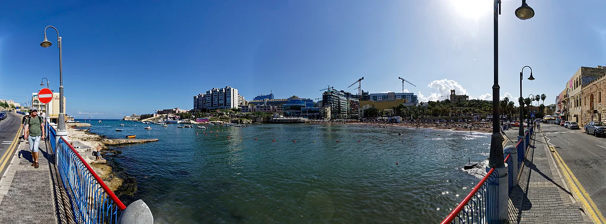
The seafront, Spinola Bay and Paceville's nightlife. Little to visit, a great deal to use as a base.
7.2 out of 10
When people say they’re off to Malta, they nearly always mean this island. It’s the biggest in the archipelago at 245 km², and 93% of the country lives on it. The capital, the airport, the major museums and most of the hotels are all here. Even so, it isn’t uniform, and understanding its areas is what stops you spending half your holiday on a bus.
What are the main areas of the island?
I split it into six, loosely following the NSO’s districts but thinking like a visitor. The Grand Harbour, with Valletta and the Three Cities opposite. Sliema and St Julian’s, the urban coast north of the capital. The interior, with Mdina, Rabat and Mosta. The south, from the megalithic temples to Marsaxlokk. The west, with the Dingli Cliffs and the farmland around Mġarr. And the north, from St Paul’s Bay to Mellieħa and Ċirkewwa, which is beach country.
Density shapes the whole experience. The island averages 2,218 people per square kilometre, but the Northern Harbour district reaches 7,836 while the Western district sits at 975. That’s why the coast from Valletta to St Julian’s feels like one continuous town, while the west still has fields and quiet.
The Grand Harbour first
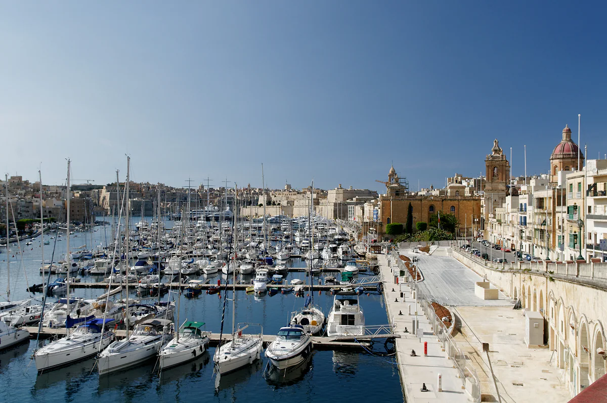
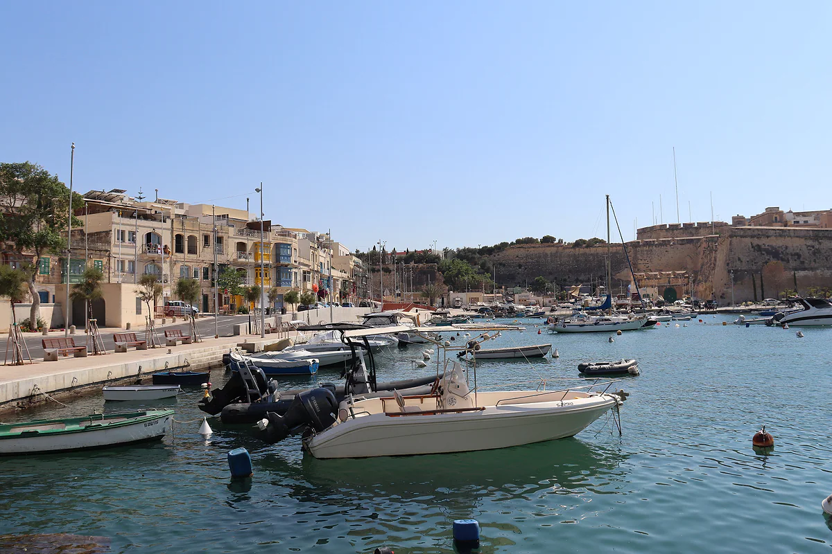
If you only have one day, spend it here. Valletta has been a World Heritage Site since 1980, with 320 monuments in 55 hectares, and across the water lie Birgu, Senglea and Cospicua, reached on the Cospicua ferry. From Upper Barrakka you take it all in at once, and to me that’s the best way to see why the Order of St John chose this harbour. I cover the far side properly in the Three Cities.
The interior and the south, the ancient Malta
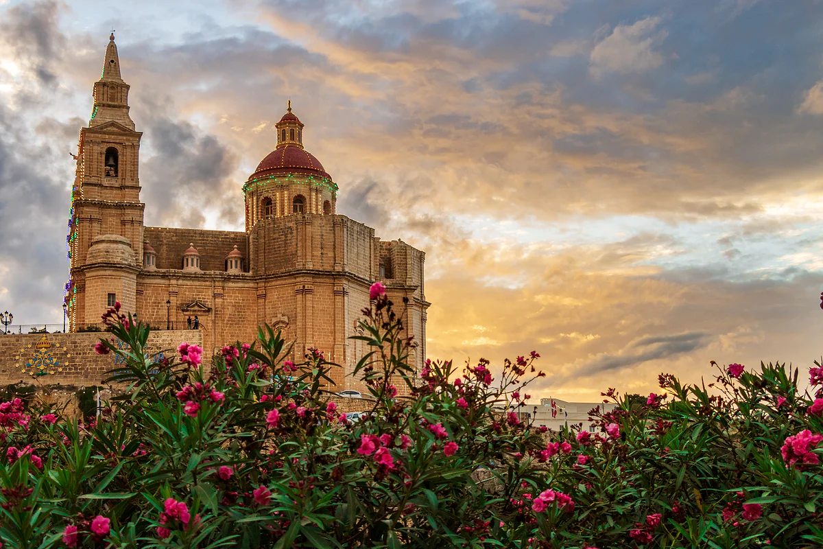
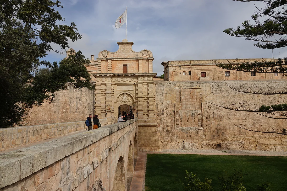
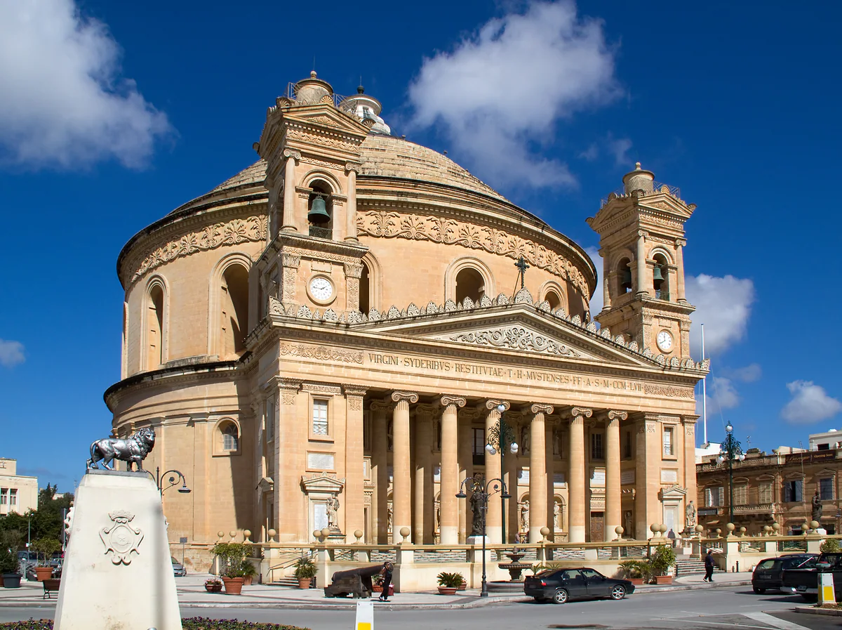
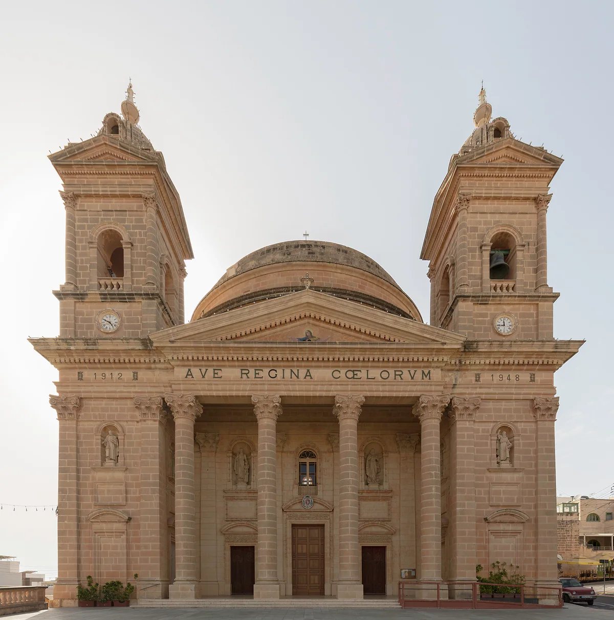
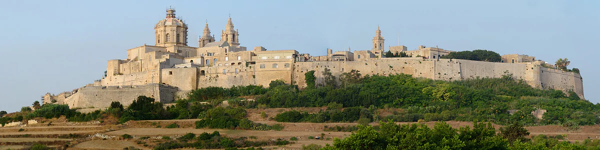
Buses 50, 51, 52, 53 and 56 from Valletta take you to Mdina, the walled former capital with 201 residents, and right next to it Rabat, with St Paul’s Catacombs and the Domvs Romana. It’s the area that best tells the story of Roman and medieval Malta. Mosta, with its Rotunda, rounds it off.
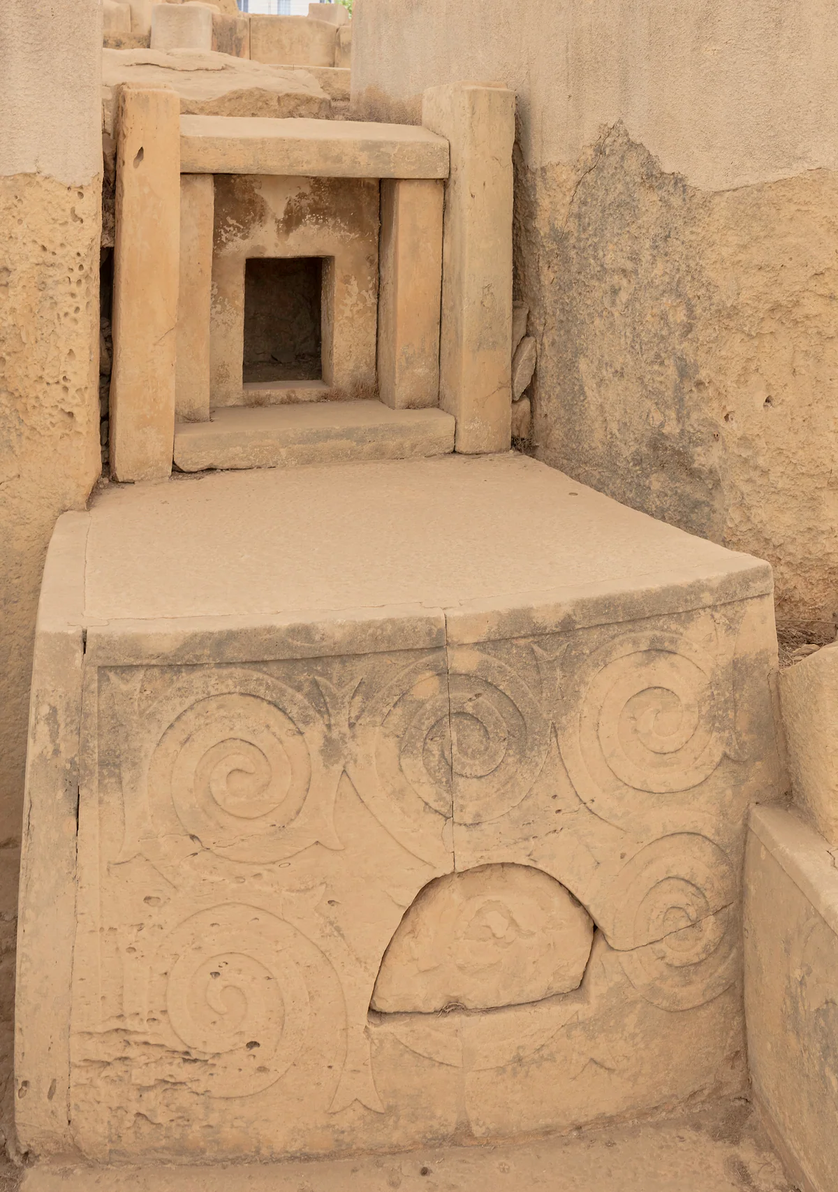
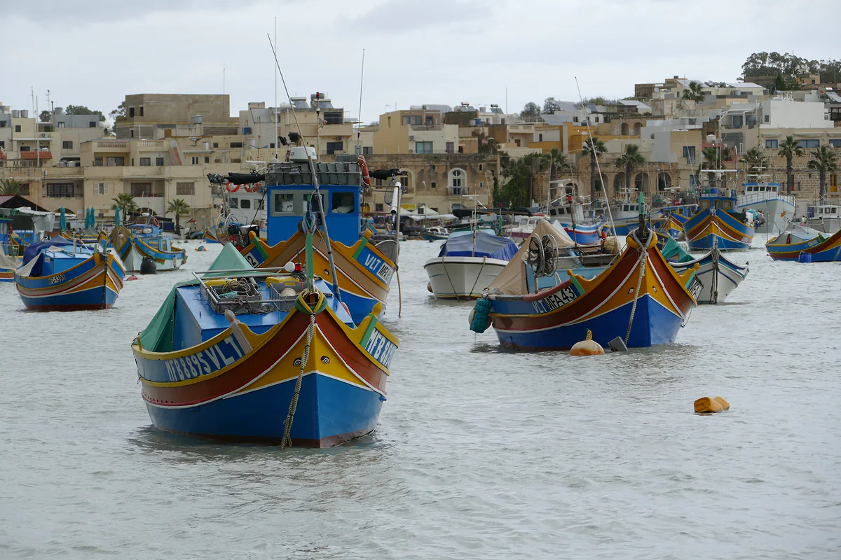
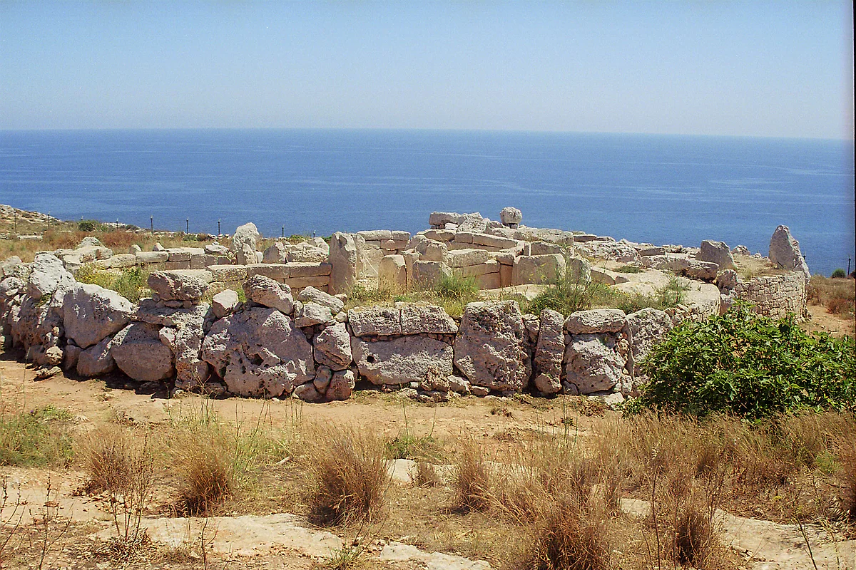
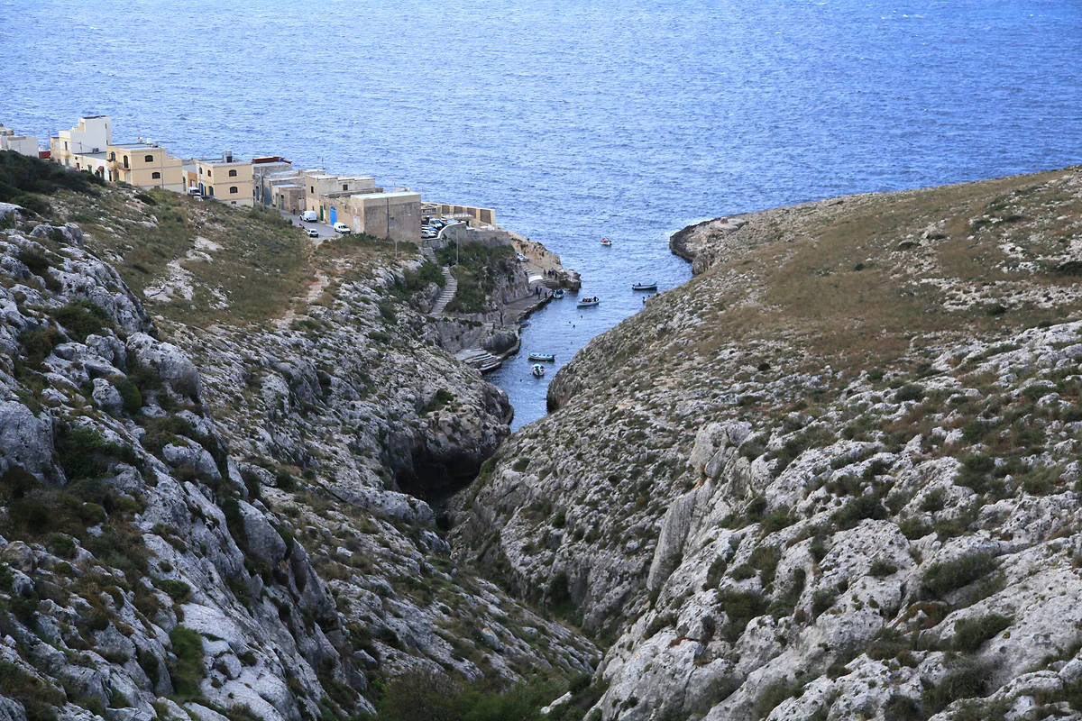
The south belongs to another age entirely. Ħaġar Qim and Mnajdra, above the sea at Qrendi, are more than 5,000 years old, and the Hypogeum in Paola older still. Nearby is the Blue Grotto at Wied iż-Żurrieq and, on the south-east coast, Marsaxlokk and its Sunday market. I’d pair the temples and Marsaxlokk in a single unhurried day.
The west and north, the open side
The west is high coast. The Dingli Cliffs plunge up to 230 m into the sea and give the island its best sunset. Close by is Buskett woodland, which BirdLife Malta says is government-owned and open at all hours. Further north, at Mġarr, are the Skorba and Ta’ Ħaġrat temples and the Roman baths of Għajn Tuffieħa.
The north is where the sand is. Sand is scarce in Malta, and what there is lies mostly up here and on Gozo. Mellieħa, Għadira, Golden Bay and the Majjistral park, which VisitMalta places on the north-west’s Natura 2000 coast, make up the greenest corner of the island. At the tip is Ċirkewwa, where the Gozo ferry leaves.
Splitting your days
My plan for three days on the island would be the Grand Harbour first, Mdina, Rabat and Dingli second, and the south with the temples and Marsaxlokk third. With a fourth I’d add the north or, better still, a day on Gozo, which I explain in the Maltese islands. As a base, Valletta or Sliema, because buses leave from there for every area and you won’t need to change hotels. Driving on the left will feel natural to a British visitor, but with this much traffic I’d still leave the car hire for Gozo.
What I’d avoid
This is where people go wrong. On the map the island looks so small that it’s tempting to do the south, the interior and the north in one day, and you end up spending it on the bus. With this much density, I wouldn’t attempt more than one big area a day. On top of that, the Foreign Office rates local driving as poor, and Spain’s foreign ministry says road signs are lacking. For northern beaches in summer, set off early, before the coastal buses fill up.
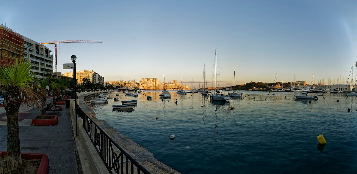
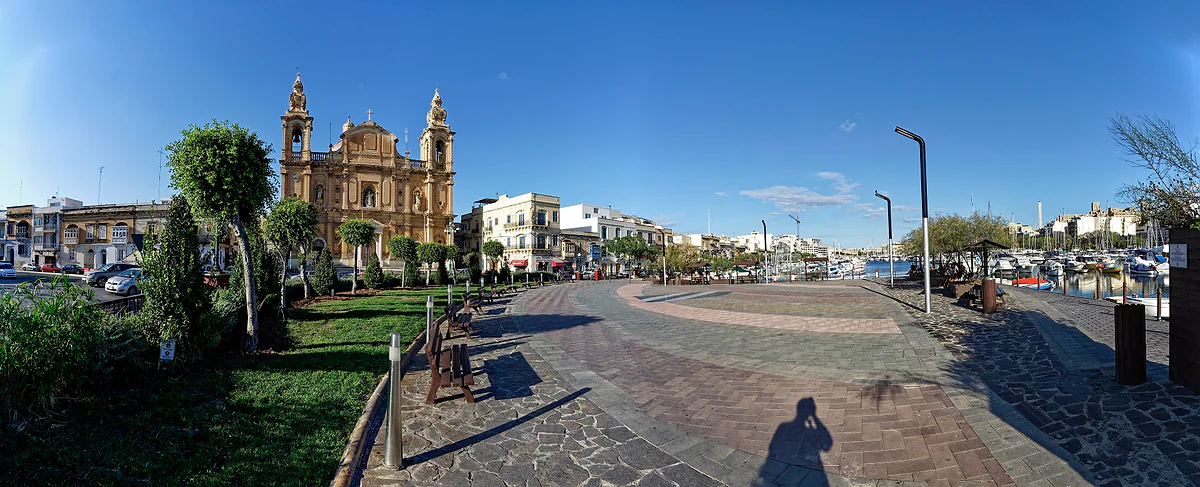
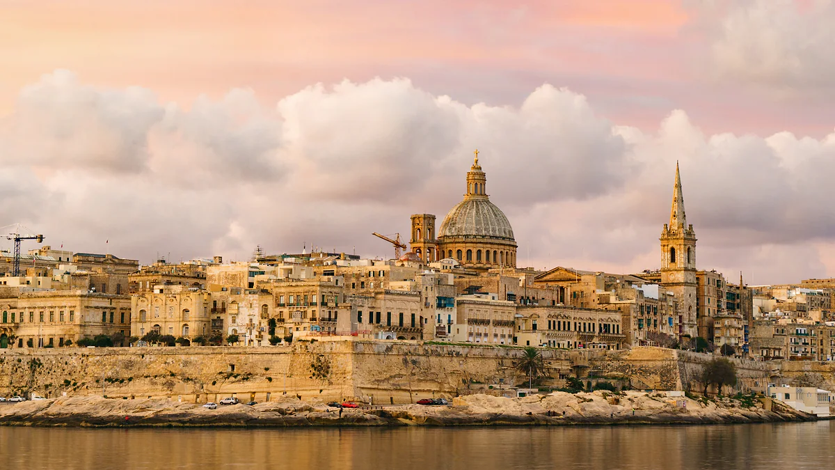
The Valletta skyline at sunset from Sliema, with the Carmelite dome, the spire of St Paul's and the walls rising above Marsamxett Harbour.
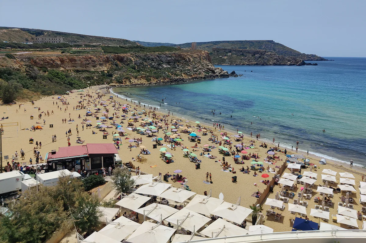
Golden Bay beach in summer, its golden sand covered in parasols, with turquoise water and the green headlands of northern Malta.
The island's areas, with the bus from Valletta
Area
What's there
Bus
Three Cities
Birgu, Senglea, Cospicua, Fort St Angelo
2 (Birgu); 3 and 4 (Senglea, Kalkara, Cospicua)
Mdina and Rabat
Walled city, catacombs
50, 51, 52, 53 and 56
Dingli
Cliffs, Magdalene chapel
52 and 56
Marsaxlokk
Harbour and Sunday market
81 or 85; TD10 on Sundays
Sliema and St Julian's
Seafront, Spinola Bay, Paceville
13, 13A, 14, 16, 21 or TD13
Buġibba and Qawra
Promenade, aquarium
31, 45, 48 or TD13
Golden Bay
North-west beach
44
Ċirkewwa
Gozo ferry
41, 42 or X300
Routes from Malta Public Transport's pages, checked on 28-09-2026.
The island of Malta in numbers
Fact
Figure
Source
Area
245 km²
Spanish foreign ministry
Residents at 31-12-2025
546,461
NSO (sum of localities)
Density
2,218 per km²
NSO
Local councils
54
Spanish foreign ministry
Statistical districts
5
NSO
Highest point
Ta' Dmejrek, 253 m
Spanish foreign ministry
Test yourself
True or false?
0/3Pick before you peek.
More than 90% of the country's population lives on the island of Malta.
See the answer
True. According to the NSO, 546,461 of the 588,254 residents lived there at the end of 2025, roughly 93%.
Most beaches on the island of Malta are sandy.
See the answer
False. Spain's foreign ministry says most are rocky, and the sandy ones are mainly in the north of Malta and on Gozo.
The island's highest point is over 500 metres.
See the answer
False. It's Ta' Dmejrek, at 253 m, according to Spain's foreign ministry country profile.
Area of the island
245 km²
Residents at the end of 2025
546,461
Local councils
54
People per km²
2,218
Map
Malta, Gozo and Comino, council by council
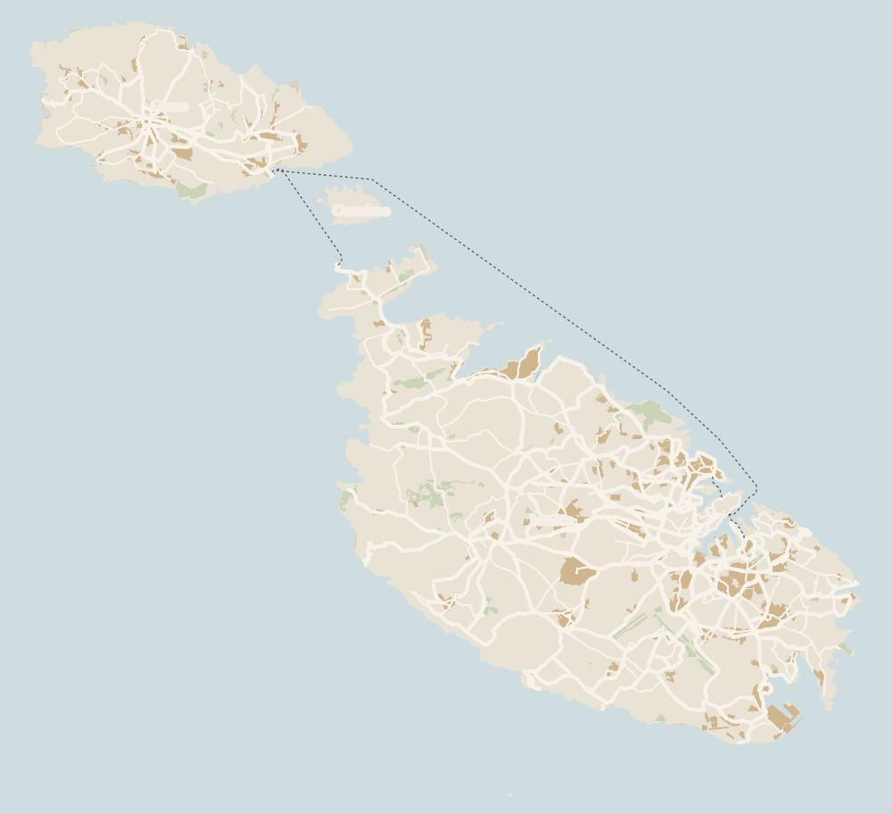
Gozo lies to the north-west, across the channel the ferry crosses from Ċirkewwa, with Comino between the two islands. Every number opens its guide.
The island of Malta itself, the largest in the archipelago at 245 km². It has the capital, the airport and 546,461 of the country's 588,254 residents.
How many days do you need on the island of Malta?
I'd say three. One for Valletta and the Three Cities, one for Mdina, Rabat and the Dingli Cliffs, and one for the south with the temples and Marsaxlokk. A fourth day could go on the north or, better, on Gozo.
Where's the best place to stay on Malta?
Valletta or Sliema for a sightseeing trip, since the ferry links them and buses cover the whole island. Buġibba or Mellieħa if you want beaches and a shorter hop to the Gozo ferry.
Can you get around Malta by bus?
Yes. Most routes start from Valletta or Buġibba, a ticket costs €2 or €2.50 and lasts two hours with changes, and there are four- and seven-day passes at €21 and €27.
What is the highest point on Malta?
Ta' Dmejrek, at 253 m, according to Spain's foreign ministry. The Dingli Cliffs rise to 230 m above the sea.
Tourism graduate with a master’s in Tourism Management and Planning from the University of Málaga, who has travelled across Europe. He writes every guide from official sources and his own judgement.

 1Gozo 2Comino 3Island of Malta 4Valletta 5Victoria 6Birgu 7Xagħra 8Nadur 9Senglea 10Cospicua 11Qala 12Għajnsielem 13Kalkara 14Paola 15Xewkija 16Sannat 17Tarxien 18Munxar 19Żabbar 20Fgura 21Fontana 22Kerċem 23Luqa 24Floriana 25Marsa 26Mellieħa 27Żebbuġ (Gozo) 28Marsalforn 29Santa Luċija 30San Lawrenz 31Xgħajra 32Għarb 33Żejtun 34Għasri 35Gudja 36Għaxaq 37Marsaxlokk 38Kirkop 39Mqabba 40Marsaskala 41Qrendi 42Żurrieq 43Mdina 44Mġarr (Gozo) 45Birżebbuġa 46Safi 47Rabat (Malta) 48Xlendi 49Siġġiewi 50Dingli 51Żebbuġ 52Mtarfa 53Balzan 54Lija 55Iklin 56Attard 57St Paul's Bay 58Buġibba 59Qawra 60Xemxija 61Mosta 62Naxxar 63Għargħur 64Mġarr (Malta) 65Sliema 66Tigné Point 67St Julian's 68Paceville 69Gżira 70Msida 71Ta' Xbiex 72Pietà 73Pembroke 74Swieqi 75San Ġwann 76Birkirkara 77Ħamrun 78Santa Venera 79Qormi